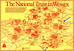
Wessex Scotland Historical Places Map
Illustrated tourist map of Wessex, Scotland showing historical landmarks.
345 miles away
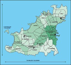
Guernsey Parish Map
345 miles away
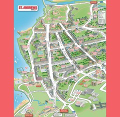
St. Andrews Map
Tourist map of St. Andrews
345 miles away
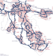
Fareham Busmap Map
Bus map of Portchester, Gosport and Fareham routes.
345 miles away

St Andrews Scotland Tourist Map
Illustrated tourist Map of St. Andrews, Scotland showing historical building and streets.
346 miles away
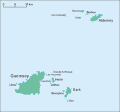
Guernsey Island Map
Guide to Guernsey, and island in teh English Channel
346 miles away
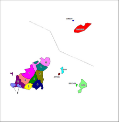
Guernsey Parish Map
Guide to the parishes of Guernsey, a British Crown Dependency in the English Channel
346 miles away
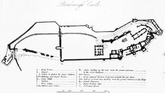
Bamburgh Castle Map
346 miles away
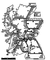
Scotland Rail Map
Guide to rail and ferries in Scotland
347 miles away
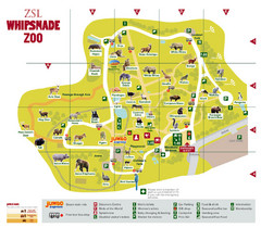
Whipsnade Zoo Map
347 miles away
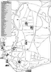
Portsmouth and Southsea Tourist Map
Tourist map of "where to go" in Portsmouth and Southsea, England. Includes photos of...
348 miles away
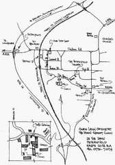
Petersfield, London Map
348 miles away
Delaine Bus Route Map
Map of bus routes throughout from Borne to Peterborough
349 miles away
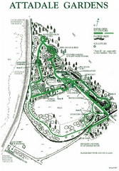
Attadale Gardens Map
Map of beautiful gardens and paths for a relaxing time. 20 acres of conifers and rhododendrons.
350 miles away
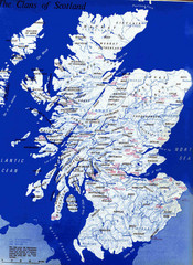
Scotland Clan Map
Guide to clans and prominent families in Scotland
351 miles away
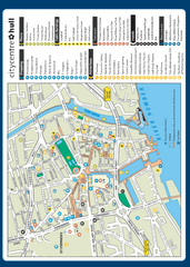
Hull City Centre Map
Tourist map of city of Hull. Shows points of interest including shopping, attractions, places...
352 miles away
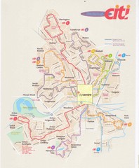
Peterborough Stage Coach Citi Bus Map
352 miles away
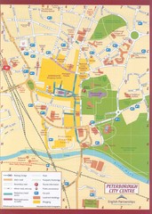
Peterborough City Center Map
City map of central Peterborough, England
352 miles away

Woodhall Spa Map
Street map of Woodhall Spa
353 miles away
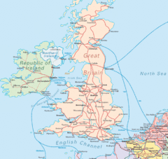
United Kingdom Transit Map
Guide to rail and ferries in the United Kingdom and surrounds
355 miles away
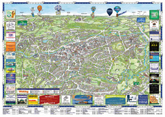
Woking Tourist Map
Tourist map of Woking, Surrey, England. Oblique/3D town map with ads.
356 miles away
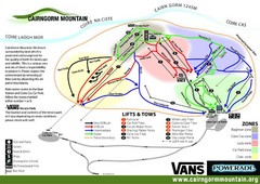
Cairn Gorm Ski Trail Map
Trail map from Cairn Gorm.
357 miles away
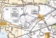
Heathrow Airport Transportation Map
357 miles away
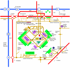
Heathrow Airport Map
357 miles away
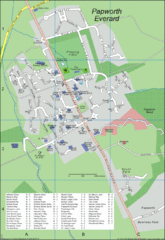
Papworth Everard Tourist Map
360 miles away
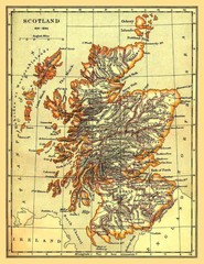
1641-1892 Scotland Map
Guide to Scotland and its counties, from 1641-1892
360 miles away
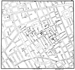
Cholera Outbreak of London Map
Map used to analyze the cholera outbreak in London, specifically South Hampton in 1853
362 miles away
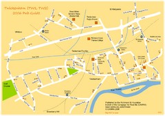
Twickenham Pub Guide Map
Map of TW1 & TW2 area
363 miles away
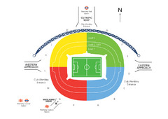
UK Wembley Stadium Map
363 miles away
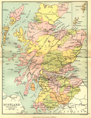
Scotland Counties Map
Map of Scotland and its counties
364 miles away
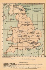
England War of the Roses Map
Guide to battle sites, encampments and treaties of the War of the Roses in England
365 miles away
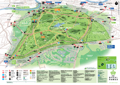
Richmond Park Map
365 miles away
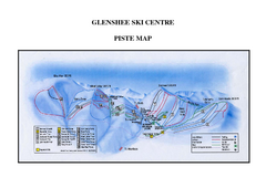
Glenshee Ski Centre Ski Trail Map
Trail map from Glenshee Ski Centre.
365 miles away
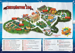
Chessington Zoo Map
366 miles away

River Thames Map
River Thames Map, illustrated by Katherine Baxter for the Runnymede-on-Thames Hotel as a 8 metre...
366 miles away
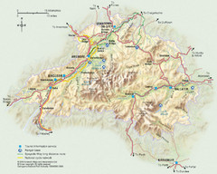
Cairngorms National Park Map
This map shows the boundaries of the Cairngorms National Park, which stretch from Grantown on Spey...
367 miles away
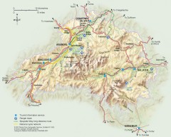
Cairngorms National Park Map
Official map of Cairngorms National Park, Britain's largest National Park at 3800 sq km. 4 of...
367 miles away

