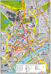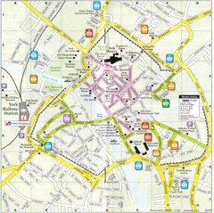
York England Tourist Map
Tourist map of York England showing roads, tourist sites ad railways.
325 miles away
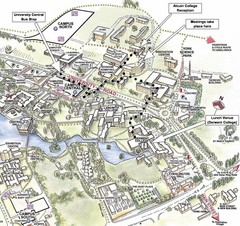
University of York Campus Map
Relevant landmarks and main roads and buildings
325 miles away
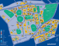
Camperdown Tourist Map
Guide map for Camperdown and Darlington, United Kingdom
326 miles away
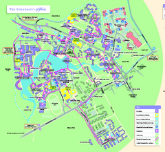
University of York Map - Heslington Campus
Campus map of the University of York Heslington Campus near York, England.
326 miles away
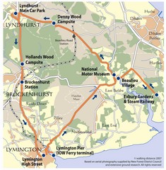
New Forest Bus Tour Map
327 miles away
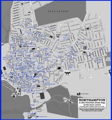
Northampton Town Map
Map of Northampton from the late Victorian period with public houses, inns, hotels, and pubs all...
327 miles away
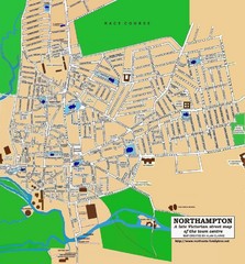
Northampton Town Map
Street map of Northampton from the late Victorian period
328 miles away
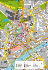
Newcastle Upon Tyne City Map
City map of Newcastle Upon Tyne with tourist information and some of Gateshead
328 miles away
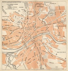
Newcastle upon Tyne Map
1920 Michelin Map to Newcastle upon Tyne, UK
328 miles away
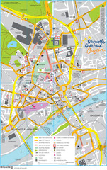
Newcastle Tourist Map
Tourist map of central Newcastle Upon Tyne, UK. Shows points of interest.
328 miles away
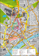
Newcastle City Map
City center map of Newcastle Upon Tyne, UK
328 miles away
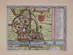
1611 Newcastle-Upon-Tyne Historic Map
Guide to historic Newcastle upon Tyne
328 miles away
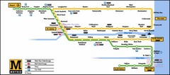
Newcastle Metro System Map
328 miles away
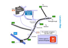
Central Northampton, England Tourist Map
Central Northampton in England
328 miles away
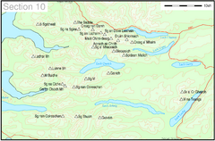
Munro Colour Contour Map Sec10
The list of hills and the grid references are from Wikipedia. The coastline is derived from data...
330 miles away
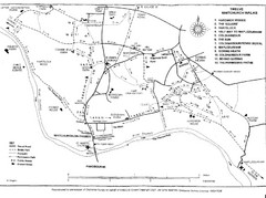
Whitchurch on Thames Walking Map
Guide to 12 walks around Whitchurch on Thames, UK
330 miles away
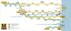
Tyne and Wear Metro Route Map
Map of metro transit routes throughout Tyne and Wear
331 miles away
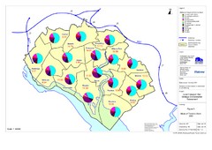
Methods of Travel in Southampton, UK Map
The methods of travel used by workers in Southampton
332 miles away
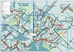
Southampton Public Transport Map
Public transport map of Southampton, England
332 miles away
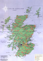
Scotland Road Map
Guide to Scotland, its major cities and roads
333 miles away
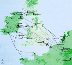
Ireland to Luxembourg Travel Map
Major routes from Ireland to Luxembourg. Shows major cities in Ireland, England, Germany and the...
333 miles away
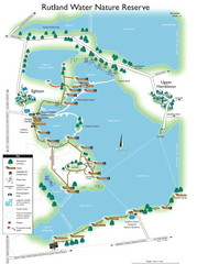
Map of Rudlin Nature Reserve
Full-color map of Rudlin Water Nature Reserve that includes the locations off all Footpaths...
333 miles away
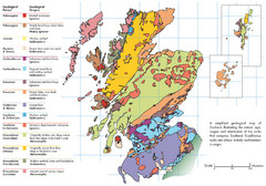
Scotland Geology Map
Guide to Scotland and its geology
334 miles away
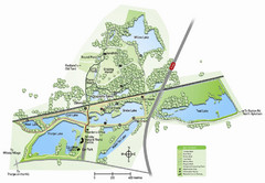
Whisby Nature Park Map
Shows park as of January 2009.
335 miles away
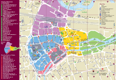
Reading Tourist Map
Tourist map of city center of Reading, England. Shows attractions and other tourist points of...
337 miles away
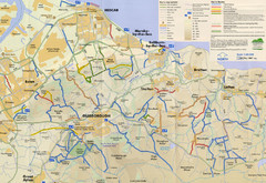
Redcar & Cleveland Horse Riding Routes Map
Horseriding route map of Redcar & Cleveland area, England shows public bridleways, public...
337 miles away
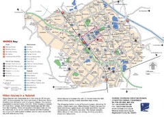
Milton Keynes Region Tourist Map
Tourist map of region around Milton Keynes, UK. Shows railway stations, out of town shopping, and...
337 miles away
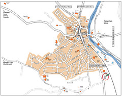
Henley-on-Thames Map
338 miles away
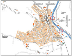
Henley-on-thames Map
Visitor Map of Henley-on-thames. Map shows location of most main roads, buildings, and parking.
338 miles away
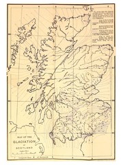
Scotland Glaciation Map
Guide to glacial movement that formed Scotland
339 miles away
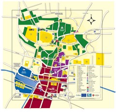
Lincoln Tourist Map
Tourist map of Lincoln, England. Shows points of interest.
340 miles away
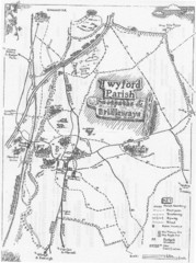
Twyford Parish Map
Footpaths and bridleways map of Twyford Parish
340 miles away
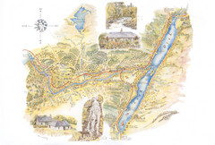
Invergarry Tourist Map
Tourist map of Invergarry, Scotland
341 miles away
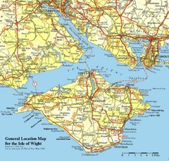
Isle of Wight Map
Based on 1950's map with no motorways
342 miles away
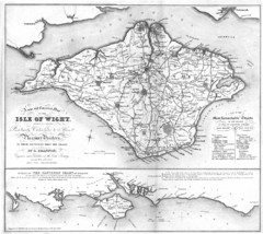
Isle of Wight Map
342 miles away
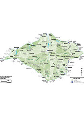
Isle of Wight Map
342 miles away
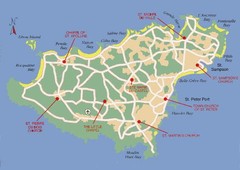
Guernsey Church Map
344 miles away
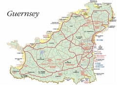
Guernsey road Map
344 miles away
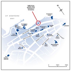
St. Andrews, Scotland Tourist Map
Shows several locations, including University of St. Andrews, in St. Andrews, Scotland
345 miles away

