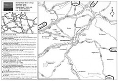
Huddersfield New College Location Map
290 miles away
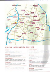
Cotswold England Tourist Map
The Cotswolds are situated in the Heart of England less than 2 Hours Drive from London. Map shows...
290 miles away
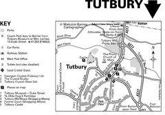
Tutbury Town Centre Map
291 miles away
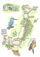
A walk around Bolton Abbey Yorkshire Map
A walk around Bolton Abbey in Yorkshire, Uk. Produced for Dales Life Magazine.
293 miles away
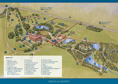
Weston Park Estate Map
293 miles away
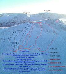
Raise Ski Trail Map
Trail map from Raise.
294 miles away
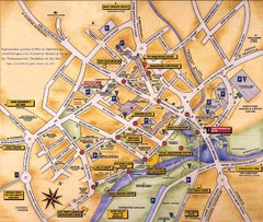
Stratford-upon-Avon Tourist Map
Tourist map of Stratford-upon-Avon, UK. Shows points of interest.
294 miles away
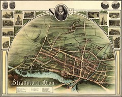
1902 Stratford-upon-Avon Map
Map of William Shakespeare's birthplace
295 miles away
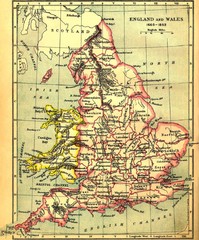
1660-1892 England and Wales Map
Guide to England and Wales from 1660-1892, showing topographic information
295 miles away
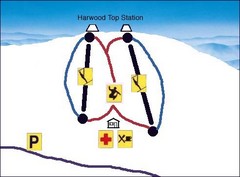
Harwood Sketch Ski Trail Map
Trail map from Harwood.
298 miles away
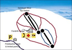
Swinhope Moor Sketch Ski Trail Map
Trail map from Swinhope Moor.
300 miles away
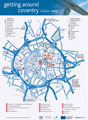
Coventry Tourist Map
Tourist map of central Coventry, England. Shows points of interest.
300 miles away
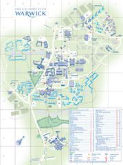
University of Warwick Campus Map
Near Coventry, West Midlands
300 miles away
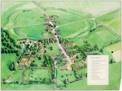
Avebury Tourist Map
Tourist map of Avebury, England. Shows Avebury Henge. From photo.
301 miles away
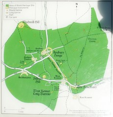
Avebury World Heritage Site Map
Map of Avebury, England showing World Heritage Site and surroundings. From photo.
301 miles away
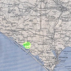
Dorchester, England Region Map
301 miles away
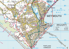
Weymouth, England Region Map
301 miles away
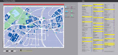
University of Sheffield Map
Campus map
301 miles away
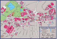
University of Sheffield Map
Campus map of the University of Sheffield in Sheffield, England. Shows parking, bus stops, and...
301 miles away
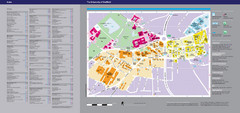
The University of Sheffield Reference Map
The University of Sheffield, United Kingdom
301 miles away
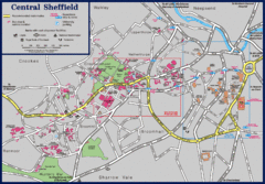
Central Sheffield Map
Map shows central Sheffield, England area. Bus stops and University of Sheffield parking areas...
302 miles away
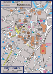
Sheffield Tourist Map
Tourist map of the city center of Sheffield, England.
302 miles away
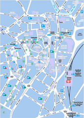
Sheffield City Map
City centre map of Sheffield, England. Shows parking, ATMs, and other points of interest.
302 miles away
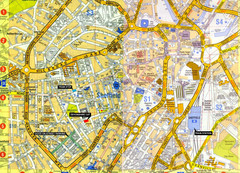
Sheffield City Center Map
302 miles away
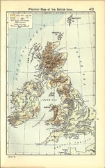
1911 British Isles Physical Map
Guide to physical features of the United Kingdom, then known as the British Isles
303 miles away
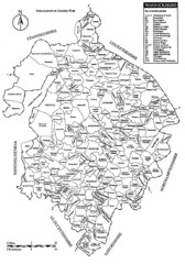
Warwichshire, England Region Map
303 miles away
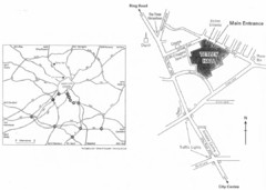
University of Leeds Campus Map
Various buildings on the University of Leeds campus
303 miles away
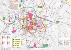
Leeds Tourist Map
Tourist map of city center of Leeds, UK
304 miles away
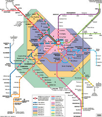
Leeds Metro Train Diagram Map
Metro system map for Leeds, England and surrounding cities.
304 miles away
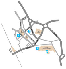
Wakefield Center Street Map
Crude street map of center of Wakefield, UK.
304 miles away
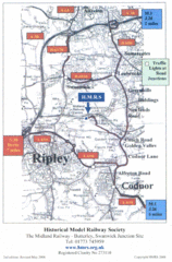
Central England Tourist Map
The area around Nottingham
305 miles away
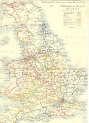
1887 - Prinicipal Railways in England and Wales...
Railways in England and Wales in 1887
306 miles away
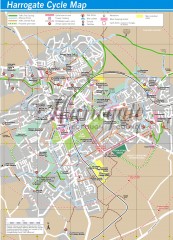
Harrogate Cycling Map
Shows traffic free cycling routes, advisory routes, traffic calmed roads, cycle lanes, bike shops...
307 miles away
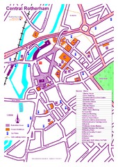
Central Rotherham Map
307 miles away
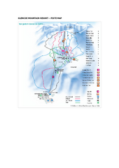
Glen Coe Ski Trail Map
Trail map from Glen Coe.
308 miles away
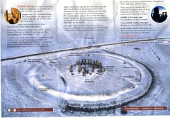
Stonehenge Brochure Map
Scan of official brochure of Stonehenge.
308 miles away
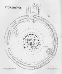
Stonehenge Map
Hand drawn map of Stonehenge showing stone circle and surrounding area
308 miles away

DTb Master Diagram (early draft) Map
DUKERIES THINKBELT: MASTER DIAGRAM All elements and key
309 miles away
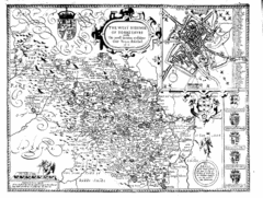
1610 Yorkshire County Historical Map
A 1610 map of Yorkshire Country in the United Kingdom
310 miles away
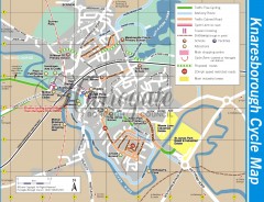
Knaresborough Cycling Map
Shows traffic free cycling routes, advisory routes, traffic calmed roads, cycle lanes, bike shops...
310 miles away

