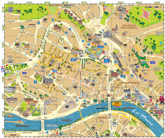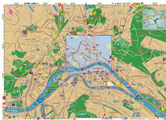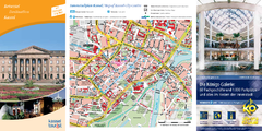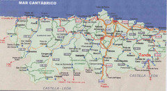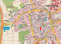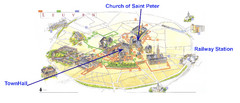
Leuvan City Map
Pictorial City Map of Leuven with information and attractions
583 miles away
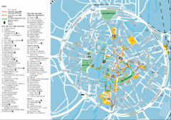
Leuven Tourist Map
Tourist map of Leuven, Belgium. Shows 'City of a Thousand Riches' tourist route. In...
583 miles away
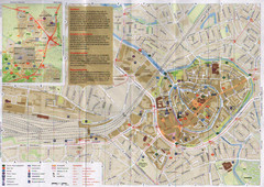
Amersfoort Map
592 miles away
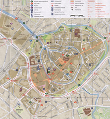
Amersfoort Map
592 miles away
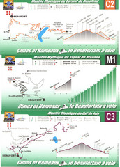
Beaufort Cycling Route Map
Three routes drawn and elevation gains shown for each cycling route in Beaufort, France's...
595 miles away
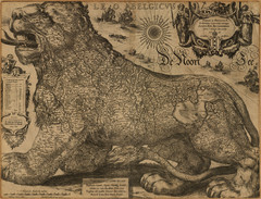
Jodocus Hondius’ Map of Belgium as a Lion...
Jodocus Hondius’ Map depicting Belgium as a Lion.
599 miles away
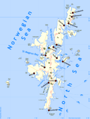
Shetland Islands Tourist Map
600 miles away
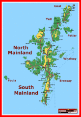
Shetland Islands Tourist Map
600 miles away
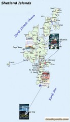
Shetland Islands Tourist Map
600 miles away
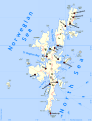
Shetland Islands Map
600 miles away
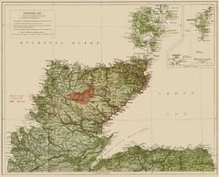
Sutherland Historical Map
Map of Sutherland and Caithness in Saga-Time
600 miles away
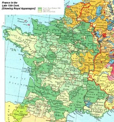
France Late 15th Century Map
France in the Late 15th Century (showing Royal Appanages)
604 miles away
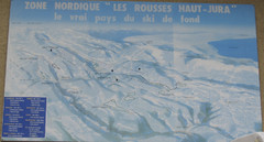
La Vallee des jeux Les Rousses Haut—Jura...
Trail map from La Vallee des jeux.
605 miles away
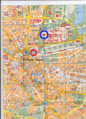
Eindhoven City Map
City map of center of Eindhoven, The Netherlands
605 miles away
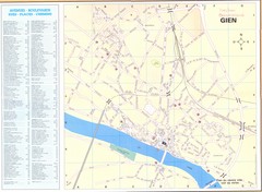
Gien Map
606 miles away
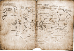
15th Century Vinland Map
Based on 13th century original, the controversial Vinland Map is possibly the first depiction of...
606 miles away
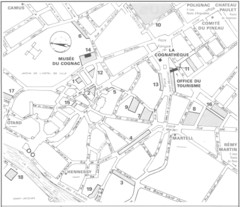
Cognac Map
610 miles away

Poitou Charantes Map
613 miles away
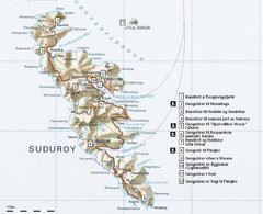
Suðuroy Tourist Map
Tourist map of Suduroy, Faroe Islands.
617 miles away
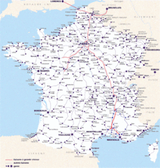
Map of SNCF National Railway Network in France
A SNCF map (Société Nationale des Chemins de Fer) showing the French train System...
622 miles away
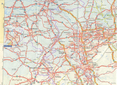
Maastricht Map
Highway map of Maastricht area
625 miles away
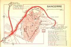
Sancerre Town Map
Town center of Sancerre, France. From Penguin edition, pages 13-16
628 miles away
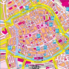
Groningen City Map
City map of central Groningen, The Netherlands. Some hotels highlighted.
634 miles away
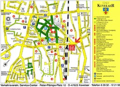
Kevelear Tourist Map
Tourist map of Kevelear
635 miles away
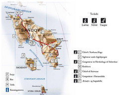
Sandoy Island Tourist Map
Tourist map of Sandoy, Faroe Islands. Shows ferry and bus stops and 7 hikes rated by difficulty
635 miles away
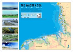
Wadden Sea Map
Map of Wadden Sea area and trilateral conservation area. Consists of lands and waters in The...
637 miles away
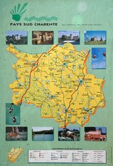
Charente Region Tourist Map
Tourist map of Charente region in southern France. Scanned.
637 miles away
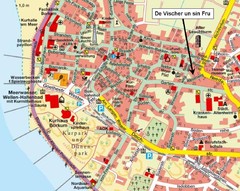
Borkum Street Map
Street map of town of Borkum
637 miles away
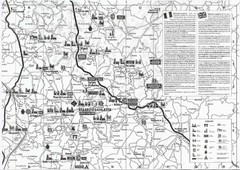
Villebois-Lavalette Tourist Map
Tourist map of Villebois-Lavalette, France and surrounding region. Shows points of interest. In...
640 miles away
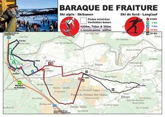
Baraque de Fraiture and Nordic Ski Trail Map
Trail map from Baraque de Fraiture.
640 miles away
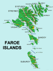
Faroe Islands Map
Overview map of the Faroe Islands.
641 miles away
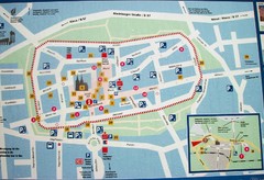
Xanten Tourist Map
Xanten center tourist map
643 miles away
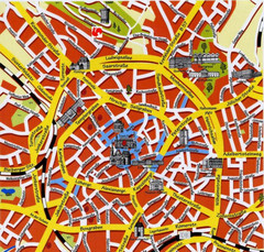
Aachen Center Map
Tourist street map of Aachen city center
643 miles away
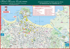
Gijon Tourist Map
Tourist street map of city
646 miles away
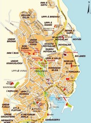
Torshavn city Map
650 miles away

