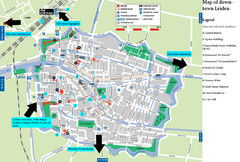
Leiden Tourist Map
Tourist map of downtown Leiden, The Netherlands. Shows some hotels and other points of interest.
554 miles away
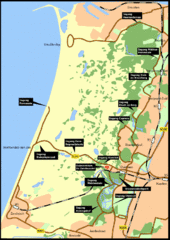
Nationaal Park Zuid-Kennemerland Map
Park overview map of Zuid-Kennemerland National Park (NPZK), Netherlands
555 miles away
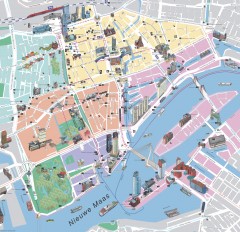
Rotterdam Tourist Map
Tourist map of Rotterdam, Netherlands. Largest port in Europe.
556 miles away
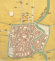
Haarlem City Map
Haarlem city center map from 1550
558 miles away

Chateaux of the Loire River Valley Map
Chateaus of the Loire River Valley region in France. Stretching from the Atlantic from Nantes to...
559 miles away

La Rochelle Map
561 miles away
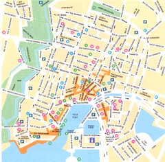
La Rochelle - centre Map
562 miles away

La Rochelle - overall Map
562 miles away
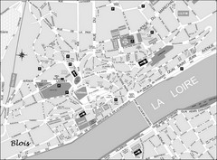
Blois Street Map
564 miles away
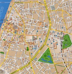
Antwerp Tourist Map
Tourist map of central Antwerp, Belgium. Scanned.
564 miles away
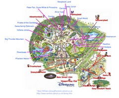
Disneyland Paris Guide Map
Locations and attractions at Disneyland Paris.
564 miles away
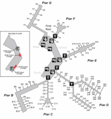
Amsterdam Airport Schipol Map
565 miles away
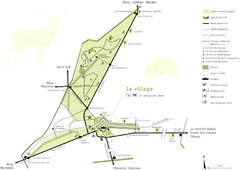
Chateau Chambord Estate Map
Estate map of the famous Chateau Chambord. Largest Chateau in the Loire River Valley.
569 miles away
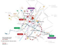
Brussels Transit Map
569 miles away
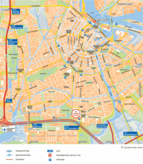
Amsterdam Tourist Map
569 miles away
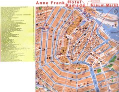
Amsterdam Tourist Map
569 miles away
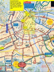
Amsterdam Hotel Map
569 miles away
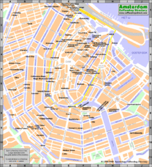
Amsterdam Coffee Shops Map
569 miles away
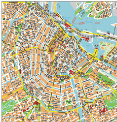
Amsterdam City Tourist Map
569 miles away
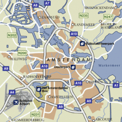
Amsterdam Airport Tourist Map
569 miles away
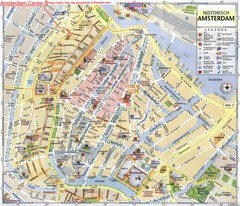
Amsterdam City Tourist Map
569 miles away
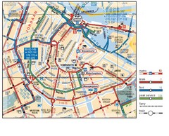
Amsterdam Transit Map
569 miles away
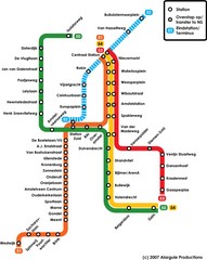
Amsterdam Metro Map
569 miles away
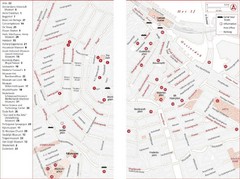
Amsterdam Tourist Map
Main attractions for sightseers in Amsterdam
569 miles away
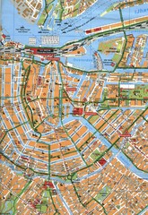
Amsterdam Center Map
569 miles away
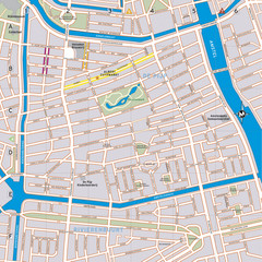
De Pijp Neighborhood Map
De Pijp neighborhood in Amsterdam map
569 miles away
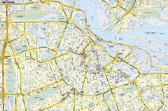
Amsterdam Map
Street map of Amsterdam, Netherlands.
569 miles away
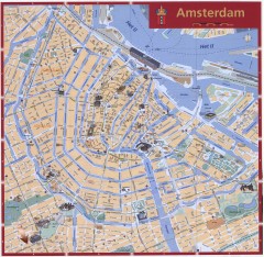
Amsterdam Tourist map
Shows major tourist points of interest. Scanned.
569 miles away
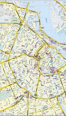
Amsterdam Central City Map
City map of Amsterdam Central
569 miles away
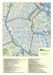
Amsterdam Map
Guide to cannabis cafes in Amsterdam
569 miles away
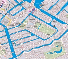
Waterlooplein, Plantage and Oosterpark Tourist Map
Waterlooplein, Plantage and Oosterpark neighborhoods in Amsterdam
569 miles away
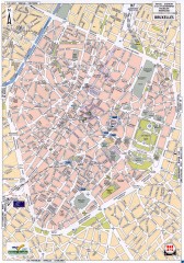
Brussels Street Map
Street map of the center of Brussels, Belgium (Brussel, Bruxelles). Major buildings labeled.
570 miles away
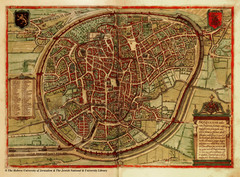
Medieval Brussels Map
570 miles away
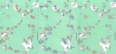
Bois-Rond Bouldering Circuit Map
From summitpost.org: "Bois-Rond is a bouldering area located in the Southern part of the...
574 miles away
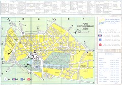
Fontainebleau Avon Map
578 miles away

Europe Political Map
580 miles away
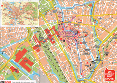
Utrecht Map
581 miles away
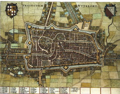
Historic map of Utrecht in 1652
581 miles away
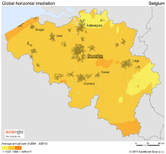
Solar Radiation Map of Belgium
Solar Radiation Map Based on high resolution Solar Radiation Database: SolarGIS. On the Solar Map...
582 miles away
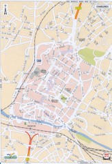
Charleroi Street Map
Street map of Charleroi, Belgium. Major buildings labeled.
583 miles away

