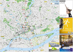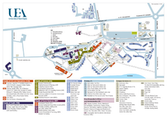
U. of East Anglia Map
414 miles away
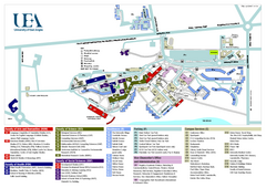
University of East Anglia Map
414 miles away
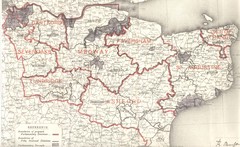
Kent, England County Map
415 miles away
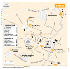
Bayeux Tourist Map
Tourist map of Bayeux, France shows accommodations and restauraunts
417 miles away

Bayeux Map
417 miles away

Normandy D-day Beaches Map
420 miles away
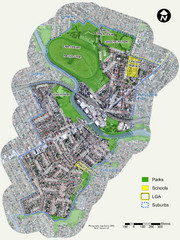
Canterbury Map
Map of parks, main streets, etc.
425 miles away
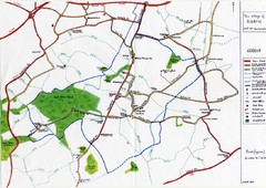
Hoath Town Map
Handwritten map of town of Hoath, England near Canterbury.
427 miles away
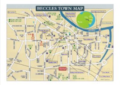
Beccles Town Map
429 miles away

Great Yarmouth District England Map
Map of Great Yarmouth & the Norfolk Broads showing major roads and cities.
432 miles away
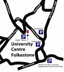
University Centre at Folkestone Map
433 miles away
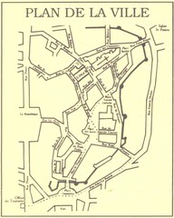
Vannes Map
433 miles away

Caen Map
434 miles away

Thanet Isle Map
1809 Guide to Thanet Isle in Britain
434 miles away
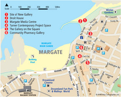
Margate Tourist Map
Tourist map of Margate, England.
435 miles away
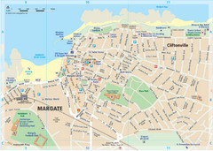
Margate TouristMap Map
435 miles away
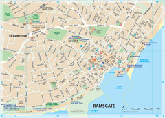
Ramsgate Tourist Map
Near Kent, England
438 miles away

Broadstairs Tourist Map
438 miles away

Cabourg Map
438 miles away
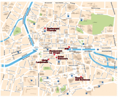
Rennes Street Map
Street map of the city center of Rennes, France. Shows building names and parking. Some points of...
439 miles away
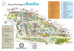
Campus Scientifique de Beaulieu Map
University of Rennes Science campus map.
441 miles away

Deauville Map
442 miles away
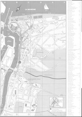
Trouville sur Mer Map
442 miles away
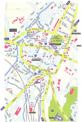
Lisieux Map
456 miles away
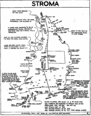
Stroma Tourist Map
468 miles away
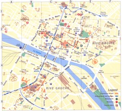
Rouen Map
478 miles away
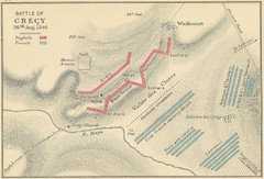
Battle of Crecy Map
Battlefield map of Crecy, France, August 28th 1346 during the Hundred Years War.
483 miles away
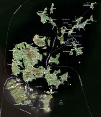
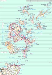
Orkney Islands Map
Guide to the Orkney Islands, northern most islands of the United Kingdom
493 miles away
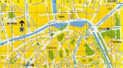
North Bruges Map
Map of northern part of Bruges city
515 miles away
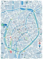
Brugge Tourist Map
Tourist map of Brugges, Belgium. Shows buildings and streets.
515 miles away
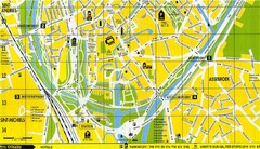
South Bruges Map
Map of the southern part of Bruges city
515 miles away
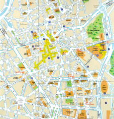
Lille Center Map
Street map of Lille city center
521 miles away
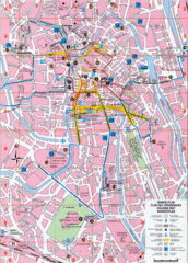
Ghent Walking Tour Map
Tourist and walking tour map of Ghent, Belgium. Shows points of interest.
539 miles away
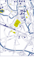
Ghent City Map
City map of Ghent with attractiosn
539 miles away
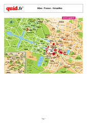
Versailles Tourist Map
Tourist street map of Versailles
541 miles away
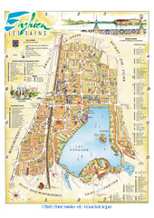
Enghien-les-Bains City Map
City map of Enghien-les-Bains, France. Located a few kilometers from Paris in the Val d’Oise...
541 miles away
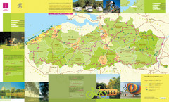
Flanders Camping and Cycling Map
Shows campgrounds and cycling routes in Flanders, Belgium
544 miles away

