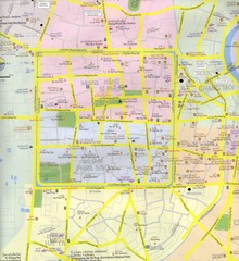
Chiang Mai Hotel Map
Shows lodging in Chiang Mai, Thailand.
756 miles away
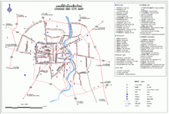
Chiang Mai Tourist Map
Tourist map of city and surrounding area of Chiang Mai, Thailand. In Thai and English.
756 miles away
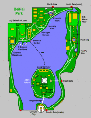
Beihai Gardens Map
758 miles away

Chiang Mai Tourist Map
Locations in Chaing Mai
766 miles away
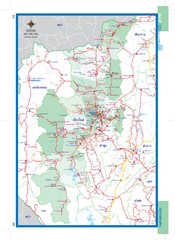
Chiang Mai, Thailand Map
771 miles away
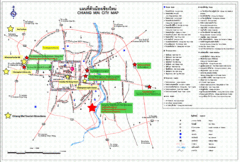
Chiang Mai Hotel Map
771 miles away
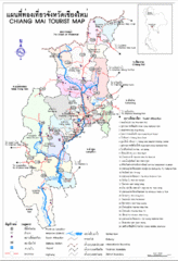
Chiang Mai Thailand Tourist Map
Tourist Map of the area surrounding Chiang Mai, Thailand showing cities, tourist attractions...
771 miles away
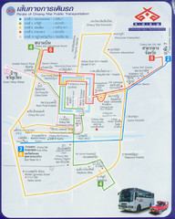
Chiang Mai Bus Map (Thai)
771 miles away
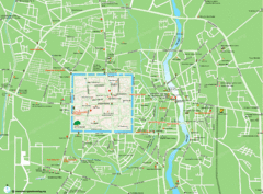
Chiang Mai City Map
771 miles away
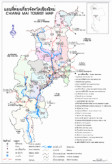
Chiang Mai Region Map
Map of Chiang Mai region in Thailand with tourist information
776 miles away

Chiang Khong, Thailand - Huay Xai, Laos City Maps...
778 miles away
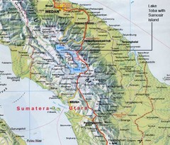
Samosir island Lake Toba, Sumatra Map
The 4th largest island on a lake
779 miles away
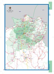
Chiangrai, Thailand Map
782 miles away
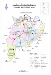
Chiang Rai Tourist Map
Tourist Map of the area around Chiang Rai, Thailand showing tourist attractions, roads, railways...
782 miles away
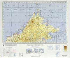
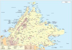
Sandakan Topo Map
Topo map of region of Sabah, Malaysia
786 miles away

Chiang Rai City Tourist Map
City map of Chiang Rai, Thailand showing hotels, temples, streets and tourist attractions.
789 miles away
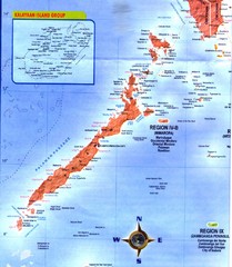
Palawan Islands Map
804 miles away
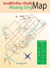
Muangsing City Map
City map of Muangsing with information
809 miles away
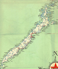
Palawan Island Road Map
811 miles away
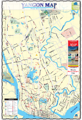
Yangon Tourist Map
Tourist map of Yangon, Myanmar. Also known as Rangoon. Shows pagodas and other points of interest.
820 miles away
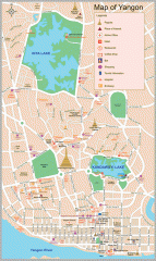
Yangon Myanmar or Rangoon Burma city map
City map of downtown Yangon, Myanmar aka Rangoon, Burma. Shows points of interest and major pagodas.
821 miles away
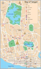
Yangon Map
822 miles away
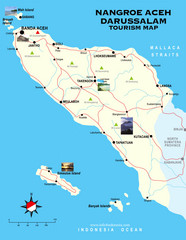
Nangroe Aceh Darussalam Tourist Map
Places of interest.
822 miles away

Pai Map
824 miles away
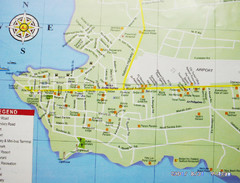
Puerto Princesa, Palawan Map
825 miles away
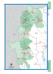
Maehongson, Thailand Map
828 miles away
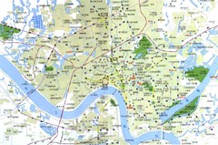
Nanning China Map
Tourist Map of Nanning China which identifies hotels and tourist attractions. Note the map is in...
830 miles away

Guangxi Zhuang Autonomous Region Tourist Map
840 miles away
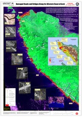
Aceh Damage Map
A detailed annotated satellite map, clearly showing the extent of the destruction along the most...
847 miles away
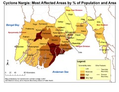
Cyclone Nargis Affected Area Map
Cyclone Nargis Vulnerability Estimates by Township
850 miles away
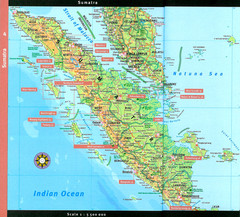
Sumatra Overview Map
Detailed map of island of Sumatra, Indonesia. Scanned.
860 miles away
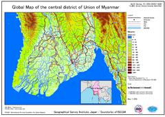
Elevation Map Central Distrisct of Union of...
The map shows topography of the Ayeyarwady (Irrawady) Delta and the Sittoung (Sittang) Delta, that...
862 miles away
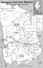
Toungoo District Map
Geographic map of Toungoo District of Burma
886 miles away
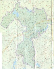
Kaiping Map
888 miles away
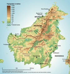
Borneo Protected Areas Map
Physical map of island of Borneo, Indonesia showing protected areas. Shows topography in meters.
890 miles away

