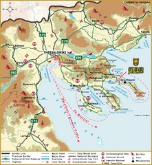
Thessaloniki Tourist Map
0 miles away
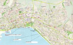
Triandria, Greece Map
4 miles away
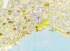
Thessaloniki Tourist Map
Map of the city center Thessaloniki, Greece showing streets, tourist sites and public buildings.
4 miles away
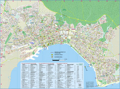
Thessaloniki Tourist Map
Tourist map of Thessaloniki, Greece. Shows points of interest and proposed hotels.
5 miles away
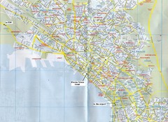
Thessaloniki Map
6 miles away
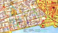
Thessaloniki Map
6 miles away
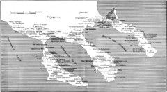
Monastic estates in Chalcidice in 15th and 16...
Monastic estates in Chalcidice pertaining to Mount Athos from History of Macedonia 1354-1833.
42 miles away
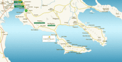
Chalkidiki Map
Map of Chalkidiki, Greece region showing 3 peninsulas.
45 miles away
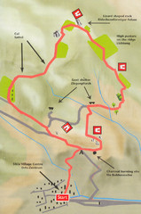
Sikia Circular Walk Map
Map of a circular walk from Sikia. 4 hours. From agrotravel.gr: "This walk takes one on a...
62 miles away
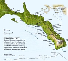
Mount Athos Monasteries Map
67 miles away
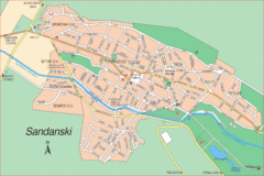
Sandanski Map
70 miles away
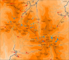
Pirin Mountains Chalet Map
Map of Pirin Mountains in Pirin National Park, near Bansko, Bulgaria. Shows peaks and mountain...
82 miles away
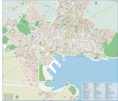
Volos Tourist Map
Tourist map of Volos, Greece. Shows points of interest and some conference info.
84 miles away
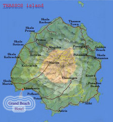
Thassos Island, Greece Tourist Map
87 miles away
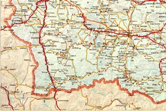
Blagoevgrad Area Map
Guide to area around Blagoevgrad, Bulgaria
88 miles away
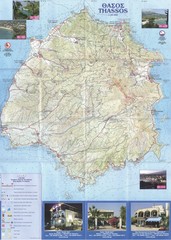
Thassos - Hertz Map
89 miles away
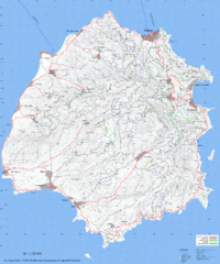
Thassos Topo Map
Topographical map of island of Thassos, Greece. Shows roads and trails.
89 miles away
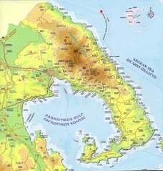
Pelion Tourist Map
Tourist map of Pelion region of Greece including city of Volos. Shows points of interest. Scanned.
89 miles away
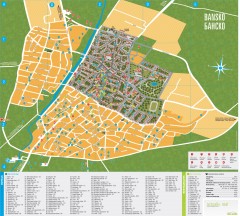
Bansko Tourist Map
Tourist map of Bansko, Bulgaria. Shows points of interest, hotels, and restaurants. Near the...
90 miles away
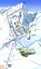
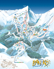
Bansko Ski Map
91 miles away
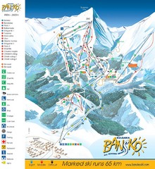
Bansko Trail Map
Ski Resort Map for Bansko, Bulgaria showing ski runs, lifts and amenities of the resort.
91 miles away
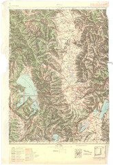
Bitola Region Topo Map
Topo map of the region surrounding Bitola, Macedonia.
93 miles away
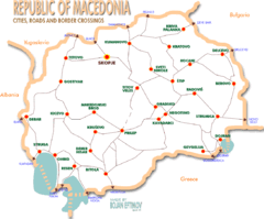
Macedonia road Map
95 miles away
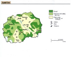
Macedonia land use Map
96 miles away
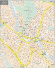
Trikala Street Map
Street map of central Trikala, Greece. In Greek and English. Scanned.
97 miles away
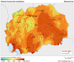
Solar Radiation Map of Macedonia
Solar Radiation Map Based on high resolution Solar Radiation Database: SolarGIS. On the Solar Map...
97 miles away
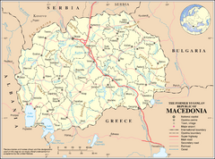
Macedonia Overview Map
97 miles away
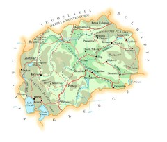
Macedonia Map
102 miles away
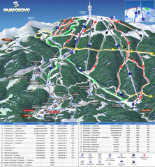
Pamporovo ski map
115 miles away
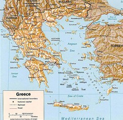
Greece Map
Map of Greece and surrounding countries showing cities, roads, railroads and borders.
117 miles away
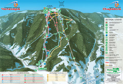
Chepelare ski map
118 miles away
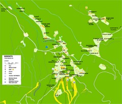
Borovets Map
Map of Borovets ski resort in Bulgaria.
118 miles away
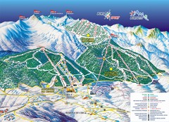
Borovets Ski Map
121 miles away
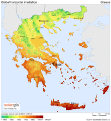
Solar Radiation Map of Greece
Solar Radiation Map Based on high resolution Solar Radiation Database: SolarGIS. On the Solar Map...
122 miles away
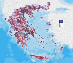
Greece Population Density Map
Shows population density of Greece. Inhabitants per square kilometer.
122 miles away
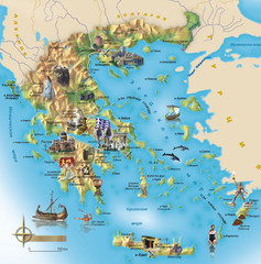
Greece Tourist Map
Stylized tourist map of Greece showing ancient points of interest. In Russian.
122 miles away
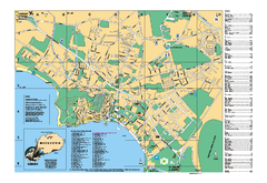
Ohrid tourist map
City of Ohrid - travel map. City names, places of interest.
122 miles away

Kavos Guide Map
122 miles away
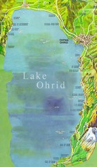
Lake Ohrid Tourist Map
Tourist map of Lake Ohrid in Macedonia. Shows points of interest around the lake
123 miles away


 Explore Maps
 Map Directory
