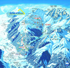
Fulpmes Ski Trail Map
Trail map of Fulpmes ski area in the Stubai Alps near Fulpmes, Austria. Schlick 2000
442 miles away
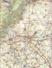
Northern Italy Tourist Map
Pordenone, Coltura, Polcenigo, Italy
442 miles away
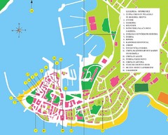
Novigrad Tourist Map
Tourist map of Novigrad, Croatia. Shows points of interest.
443 miles away

bibione Map
443 miles away
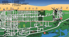
bibione - lido del sole Map
bibione & bibione lido del sole
443 miles away
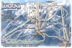
Jahorina Ski Trail Map
Trail map from Jahorina.
443 miles away
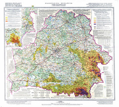
Radiation contamination in Belarus Map
443 miles away
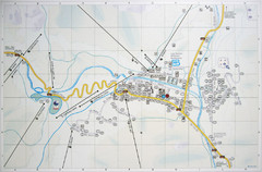
Corvara Town Map
Tourist map of Corvara, Italy in the Dolomites. From photo of sign
443 miles away
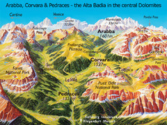
Arabba Corvara Pedraces Summer Map
Summer map of Alta Badia region in Italian Dolomites
443 miles away
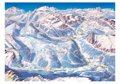
Alta Badia Alta Badia Ski Trail Map
Trail map from Alta Badia, which provides downhill skiing. This ski area has its own website.
444 miles away
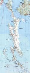
Cres & Losinj Island Map
Tourist map of island of Cres and island of Losinj, Croatia.
444 miles away

Cres Island Map
Road map of island of Cres, Croatia. Biggest island in Croatia.
444 miles away
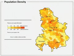
Serbia and Montenegro Population Map
Map of Serbia and Montenegro's population map
444 miles away
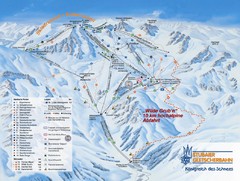
Stubaital Ski Trail Map
Trail map from Stubaital.
445 miles away
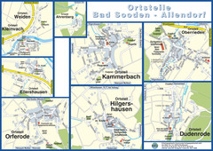
Bad Sooden-Allendorf Towns Map
Street maps of towns within the Bad Sooden-Allendorf region
445 miles away
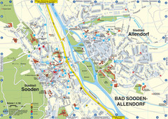
Sooden-Allendorf Map
Street map of Sooden and Allendorf
445 miles away

Porec Tourist Map
446 miles away
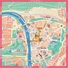
Würzburg Tourist Map
Tourist street map of Würzburg center
446 miles away
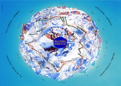
Sella Ronda Ski Tour Map
Shows ski mountaineering tour of Sella Ronda, a circular ski route leading around the mighty Sella...
447 miles away
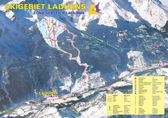
Ladurns Ski Trail Map
Trail map from Ladurns, which provides downhill skiing. This ski area has its own website.
447 miles away
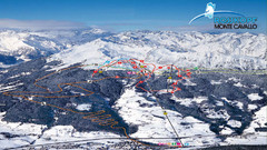
Rosskopf (Vipiteno) Ski Trail Map
Trail map from Rosskopf (Vipiteno), which provides downhill skiing. It has 4 lifts. This ski area...
447 miles away
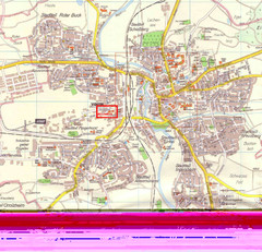
Crailsheim Map
Street map of Crailsheim region
447 miles away
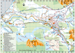
Selva Gardena Tourist Map
Tourist map of Selva Gardena, Italy, a popular skiing and hiking destination in the Italian Alps.
448 miles away
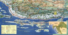
Pag Island Panoramic Map
Shows area around island of Pag, Croatia
448 miles away
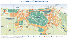
Kühlungsborn Map
Map of Kühlungsborn
448 miles away

Goettingen Map
map of downtown Goettingen.
449 miles away
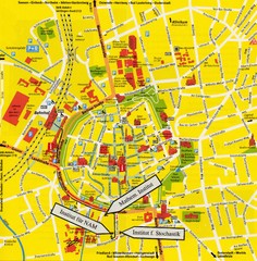
Gottingen City Map
City map of Gottingen with school buildings highlighted
449 miles away

Chernobyl radiation Map
449 miles away
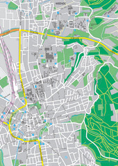
Göttingen City Map
City map of Göttingen, Germany
449 miles away
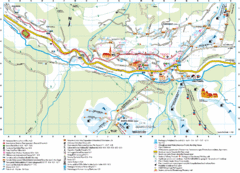
Santa Cristina Tourist Map
Tourist map of town of Santa Cristina Val Gardena, Italy. Santa Cristina lies on the sunny side of...
449 miles away
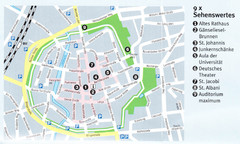
Gottingen Map
449 miles away
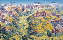
Val Gardena Summer Trail Map
Summer panoramic trail map of the Val Gardena, Italy area in the heart of the Dolomite Mountains...
449 miles away
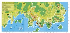
Vrsar Tourist Map
450 miles away
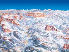
Val Gardena Ski Trail Map
Trail map from Val Gardena.
451 miles away

