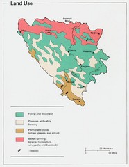
Bosnia and Herzegovina Land Use Map
Map of Bosnia's land use
425 miles away
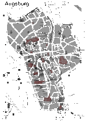
Augsburg Tourist Map
Shows central Augsburg and its sights.
425 miles away
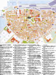
Koper Tourist Map
Tourist map of Koper, Slovenia. Shows 55 tourist sights.
425 miles away
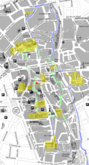
Augsburg Tourist Map
Tourist street map of downtown Augsburg
425 miles away
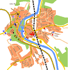
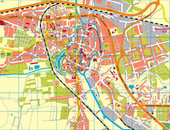
Harburg Map
Street map of Harburg town
425 miles away
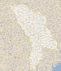
Moldova - Cities Map
426 miles away
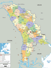
Moldova - Political Map
426 miles away
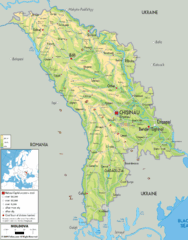
Moldova - Physical Map
426 miles away
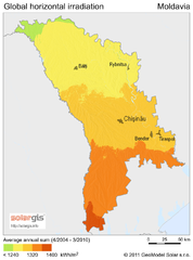
Solar Radiation Map of Moldova
Solar Radiation Map Based on high resolution Solar Radiation Database: SolarGIS. On the Solar Map...
426 miles away
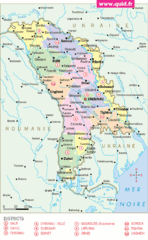
Moldavie Map
426 miles away
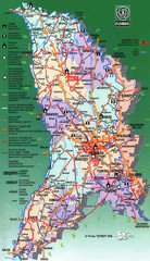
Moldova Tourist Map
Tourist map of Moldova. Shows major roads, rivers, monuments, fortresses, churches, and monastaries.
426 miles away
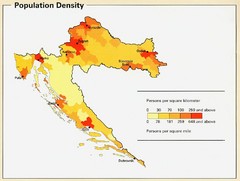
Croatia Population Density Map
Map of Croatia's population density
426 miles away
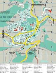
Sankt Andreasberg Tourist Map
Sankt Andreasberg tourist map
426 miles away
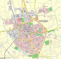
Gerolzhofen Map
Detailed street map of Gerolzhofen
427 miles away
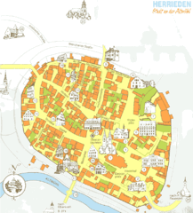
Herrieden Map
Street map of town center of Herrieden
427 miles away
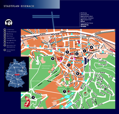
Eisenach Tourist Map
Tourist street map of Eisenach
427 miles away
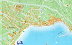
Baska Krk Tourist Map
Tourist map of Baska Krk, Croatia. Scanned.
428 miles away
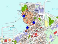
Izola Slovenia Parking map
Parking places in Izola (blue sign - payable parking, white sign - free parking).
428 miles away
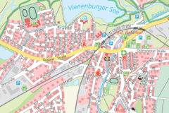
Vienenburg Center Map
Street map of town center
428 miles away
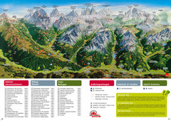
Alta Pusteria Summer Map
Panoramic summer hiking map of the Alta Pusteria, Italy, in the South Tyrol. Shows towns...
429 miles away
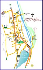
Pucioasa Map
429 miles away
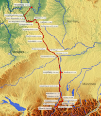
Romantische Strasse Map
429 miles away
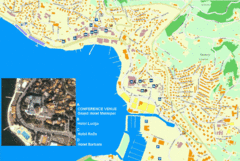
Portorož Lodging Map
432 miles away
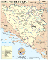
Bosnia and Herzegovina Map
Guide to Bosnia and Herzegovina
432 miles away
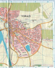
Volkach Map
Street map of town of Volkach
432 miles away
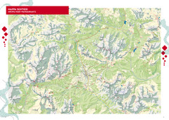
Cortina d'Ampezzo Hiking Map
Summer hiking map of the Cortina d'Ampezzo, Italy area in the heart of the Dolomite Mountains...
432 miles away
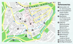
Goslar Map
432 miles away
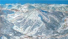
Plan de Corones Ski Trail Map
Trail map from Plan de Corones.
433 miles away

Rostock Map
433 miles away
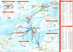
Plande Corones Ski Trail Map
433 miles away
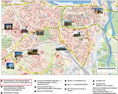
Rostock Tourist map
Tourist map of Rostock
433 miles away
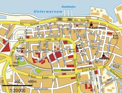
Rostock Center Map
Street map of town center
433 miles away
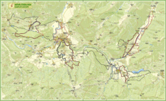
Nature Fitness Park in Kronplatz Dolomiti Map
Panoramic map of Nature Fitness Park in Dolomites. The park is very well signposted and its trails...
433 miles away
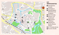
Wolfenbuttel Map
433 miles away
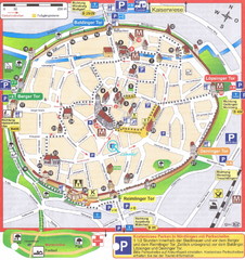
Nördlingen Tourist Map
Tourist street map of Nördlingen
433 miles away
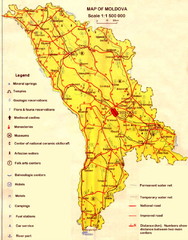
Moldova roads Map
433 miles away
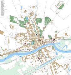
Landsberg Map
Street map of city of Landsberg
434 miles away
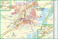
Höchstädt an der Donau Map
Street map of Höchstädt an der Donau
434 miles away

