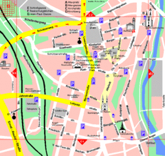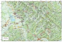
Bike Route starting in Ivanić-Grad Map
Bike route and trails through the cradle of Croatia’s oil drilling industry and the wondrous...
343 miles away
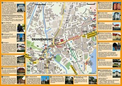
Oranienburg Tourist Map
Tourist street map of Oranienburg
344 miles away
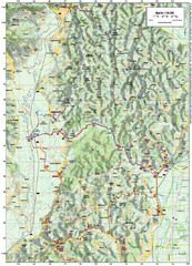
Villages and Sutla River Valley Bike Route Map
Bike routes and trails through the villages to the Sutla River Valley in Croatia. Note: The map...
344 miles away
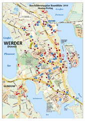
Werder (Havel) Tourist Map
Tourist map of Werder (Havel)
344 miles away
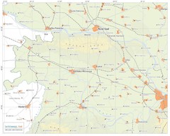
Urban areas in Srem region (Vojvodina, Serbia) Map
Srem is a part of Vojvodina province between river Sava and Danube. Largest places are Sremska...
345 miles away
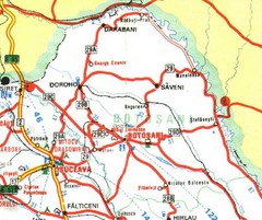
Botosani Map
345 miles away
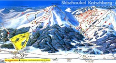
Lungau Ski Trail Map
Trail map from Lungau.
346 miles away
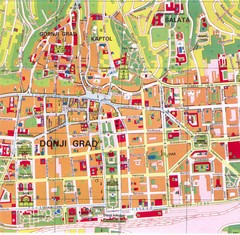
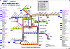
Zagreb Tourist Map
Tourist map of central Zagreb, Croatia. Shows major buildings.
347 miles away
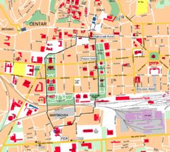
Zagreb Center Map
347 miles away
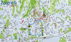
Zagreb Croatia Tourist Map
Zagreb City Centre Tourist map showing tourist attractions, hotels, tourist information and city...
347 miles away
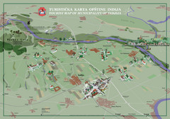
Indija Tourist Map
Tourist map of municipality of Indija, Serbia
347 miles away
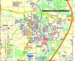
Windischeschenbach Tourist Map
Tourist street map of Windischeschenbach
347 miles away
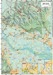
Sulta and Sava Croatia Cycling Route Map
the trails on this map are through picturesque hills to the confluence of the Sutla and Sava Rivers...
347 miles away
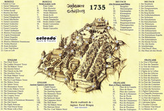
Sighisoara Town Map 1735
Old town map of building in Sighisoara, Romania. With points of interest in several languages
347 miles away
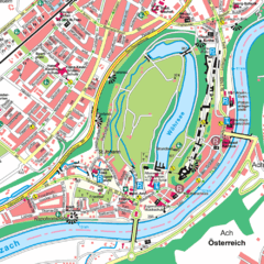
Burghausen Tourist Map
Tourist street map of Burghausen
348 miles away

Central Balkan Map
Countries in Central Europe
348 miles away
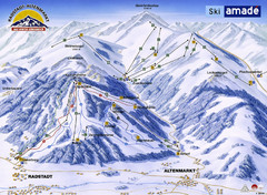
Ski Amade Map
349 miles away
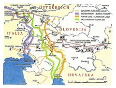
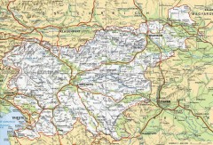
Slovenia Tour Map
349 miles away
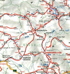
Harghita Map
349 miles away
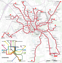
Salzburg Trolleybus Map
350 miles away
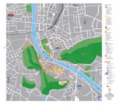
Salzburg Tourist Map
Tourist map of Salzburg, Austria. In German.
350 miles away

Slavonski Brod Tourist Map
Map of Slavonski Brod, Croatia showing streets, hotels, restaurants and tourist attractions.
351 miles away
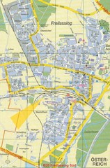
Freilassing Map
Street map of Freilassing
352 miles away
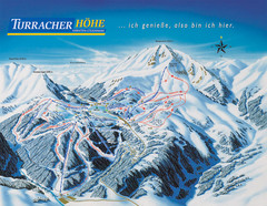
Turracher Höhe Ski Trail Map
Trail map from Turracher Höhe.
353 miles away
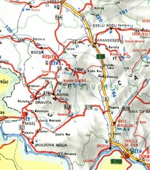
Caras-Severin Map
353 miles away
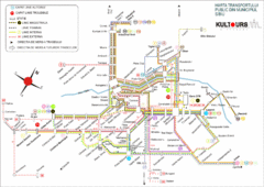
Sibiu Bus Routes Map
354 miles away
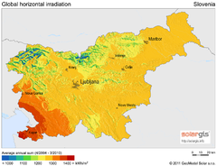
Solar Radiation Map of Slovenia
Solar Radiation Map Based on high resolution Solar Radiation Database: SolarGIS. On the Solar Map...
354 miles away
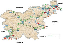
Slovenia Highways Map
354 miles away
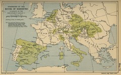
Dominions in the House of Habsburg - 1547...
355 miles away
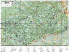
Samobor Region Cycling Route Map
Cycling route map for region west of Samobor, Croatia. Shows all routes in km
357 miles away
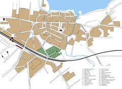
Woldenberg Map
Street map of city of Woldenberg
358 miles away
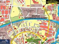
Brandenburg an der Havel Map
Street map of Brandenburg an der Havel center
358 miles away
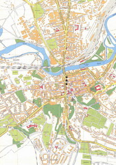
Weissenfels City Map
City map of Weissenfels, Germany
359 miles away
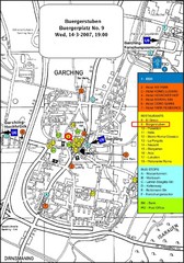
Map of the city of Garching, Germany
General visitor information including the locations of restaurants, hotels, bus stops and more.
359 miles away
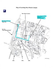
Garching Max-Planck Campus Map
Map of the Max-Planch Campus in Garching, Germany. Includes information on Accommodation and...
359 miles away

