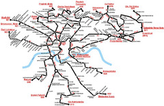
Krakow Bus Routes Map
0 miles away
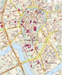
Krakow Tourist Map
0 miles away
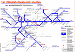
Cracow Tramlink Map (Polish)
0 miles away
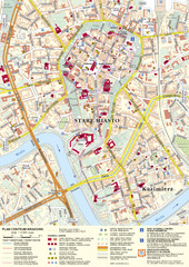
Krakow Tourist Map
Tourist map of central Krakow, Poland. Shows tourist routes and site of historic interest.
less than 1 mile away
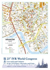
Krakow Map
Map of the city of Krakow. Includes streets, buildings, hotels, and parks.
less than 1 mile away
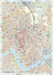
Krakow City Map
City map of central Krakow, Poland.
less than 1 mile away
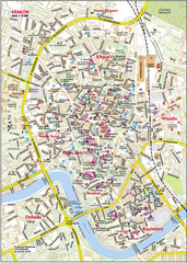
Krakow City Center Map
less than 1 mile away
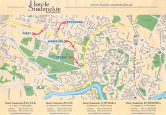
Cracow City Map
City map of Cracow with hotels
1 mile away
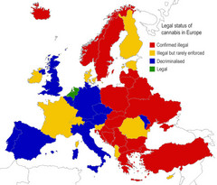
Legal Status of Cannabis in Europe Map
Shows legal status of marijuana in each European country.
14 miles away
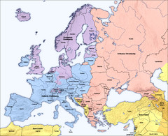
Traditional European Religious Majorities by...
Shows the traditional religious majorities by region in Europe.
19 miles away
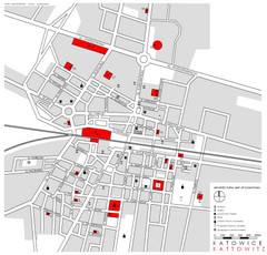
Kattowitz Tourist Map
Tourist map of Kattowitz, Poland. Shows points of interest.
43 miles away
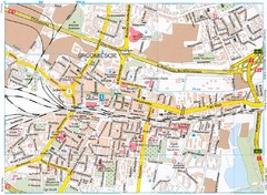
Katowice Tourist Map
Tourist map of central Katowice, Poland. Shows points of interest.
43 miles away
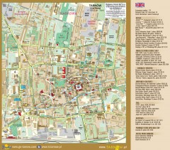
Tarnow Tourist Map
Tourist map of the center of Tarnow, Poland
46 miles away
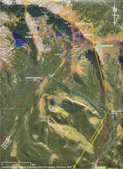
Tatras Map
The Tatras - rocks, landforms, weathering and soils field trip map with sites identified.
49 miles away
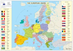
European Union Member States Map
Shows all member states and years joined. Also shows candidate states.
60 miles away
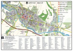
Liptovsky Mikulas Tourist Map
Tourist map of Liptovsky Mikulas, Slovakia
70 miles away
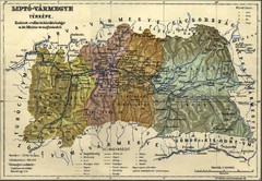
1910 Hungarian Map
Guide to area of Slovakia, previously part of Hungary
71 miles away
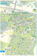
Poprad Tourist Map
Tourist map of Poprad, Slovakia. Shows points of interest.
72 miles away
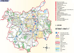
Ostrava Tourist Map
Tourist map of Ostrava, Czech Republic. Shows points of interest.
75 miles away
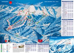
Jasná Ski Trail Map
Trail map from Jasná.
77 miles away
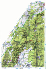
Sulovske vrchy Map
87 miles away
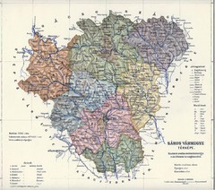
1910 Hungarian Map
Guide to historic Hungary, current Slovakia
87 miles away
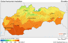
Solar Radiation Map of Slovakia
Solar Radiation Map Based on high resolution Solar Radiation Database: SolarGIS. On the Solar Map...
97 miles away
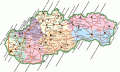
Slovakia Map
97 miles away
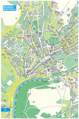
Banska Bystrica Tourist Map
Tourist map of central Banska Bystrica, Slovakia. Shows points of interest. Scanned.
99 miles away
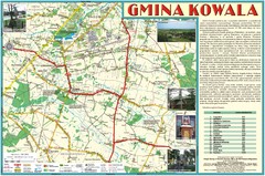
Kowala_Mazovia_poland.jpg Map
Map of Kowala_Mazovia_poland.jpg is a Kowala commune map, created with use of GlobalMapper and...
100 miles away
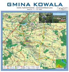
Kowala Commune - near Radom, PL Map
Kowala-Stepocina Commune - the administrative and touristic wall map, scala 1:12500, with 3D effect...
102 miles away
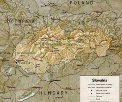
Slovakia country map
Map of Slovakia with surrounding countries. Shows boundaries, major cities, and shaded with...
107 miles away
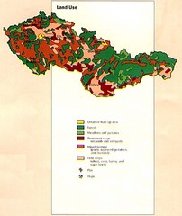
Czechoslovakia Land Use Map
Map of Czechoslovakia region land use
108 miles away
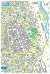
Kosice Tourist Map
Tourist map of Kosice, Slovakia. Shows points of interest.
110 miles away

Elevation Profile for Klasik Route Map
Elevation Profile for Klasik Route Map for 2008 for Dubnicky Marathon
112 miles away
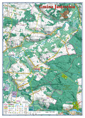
Jastrzebia commune 3D Map
Jastrzebia commune - 3D map Ed. 2010 Projection UTM/WGS84 Scale 1:25 000 Mede with extensive use...
114 miles away
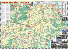
Zwolen_county_folded_map_POLAND Map
Zwolen county, paper folded map Scale 1: 70 000 Projection UTM/WGS84, GPS compatibile verified...
115 miles away
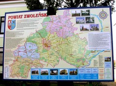
Zwolen county street map
Zwolen county - street map Big size 200 x 300 cm waterproof map
115 miles away
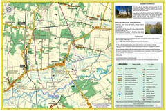
Bartodzieje_Village_Jastrzebia_Poland_streetmap...
Map of Bartodzieje_Village_Jastrzebia_Poland_streetmap.pdf is a street informative map of dimension...
115 miles away
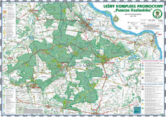
PuszczaKozienicka tourist map
LKP - Lesny Kompleks Promocyjny - PuszczaKozienicka - tourist map Ed. 2010 Projection: UTM/WGS84...
118 miles away
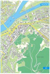
Trencin Tourist Map
Tourist map of Trencin, Slovakia. Shows points of interest.
118 miles away
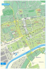
Humenne Tourist Map
Tourist map of Humenne, Slovakia. Shows all points of interest.
118 miles away
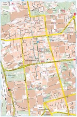
Lódź Tourist Map
Tourist map of central Lódź, Poland. Shows points of interest.
120 miles away
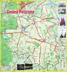
Policzna Commune Street Map
POLICZNA Commune, street map Ed. 2008 Size 2000 x 1250 mm Waterproof print-out verified for...
121 miles away

