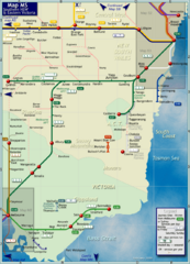
Southern New South Wales Rail Map
Map of long-distance rail system throughout Southwestern NSW and Eastern Victoria
37 miles away
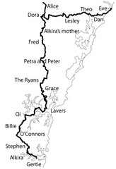
Family Histories in New South Wales Map
Treasure hunt a walker's comapnion's family hisotry around New South Wales. Experience...
47 miles away
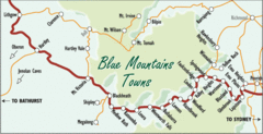
Blue Mountains' Towns Map
Simple map clearly marking each town in the Blue Mountain area.
61 miles away
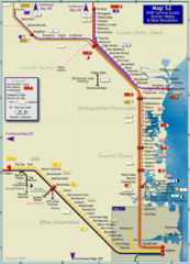
Hunter Valley Rail Map
Map of rail system throughout Hunter Valley, New South Wales Central Coast, and Blue Mountains
64 miles away
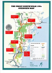
Great North Walk 100s Overview Map
Trail map for the Great North Walk 100's with distances and checkpoints marked
68 miles away

The Great North Walk Trail Map
The Great North Walk connects New South Wales’ two largest cities from the obelisk in...
71 miles away
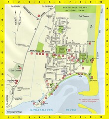
Shoalhaven Heads Town Map
73 miles away
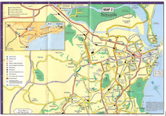
Newcastle Map
73 miles away
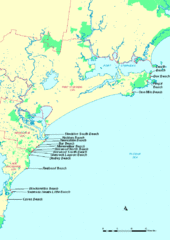
Hunter Ocean, Australia Beach Tourist Map
73 miles away
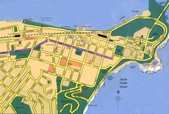
Newcastle City Map
City map of Newcastle
73 miles away

Booderee National Park Trail Map
Trail map of walking trails in Booderee National Park, Australia
94 miles away
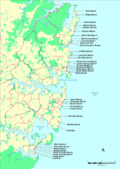
New South Wales, Australia Beach Tourist Map
95 miles away
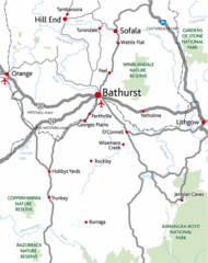
Bathurst District Map
Simple map marking the borders of Bathurst.
98 miles away
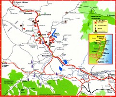
Upper Hunter Valley Tourist Map
Tourist map of Upper Hunter Valley around Muswellbrook, NSW, Australia. Shows horse studs, tourist...
112 miles away

City of Shoalhaven Map
Tourist map for Burrill Lake Tourist Park in New South Wales, Australia.
116 miles away
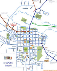
Mudgee Town Map
128 miles away
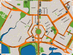
Canberra Hotels Map
154 miles away
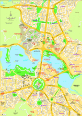
Canberra Street Map
154 miles away
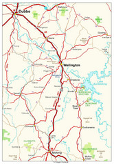
Wellington Region Road Map
Road map of region including Wellington, Dubbo, and Molong, Australia.
157 miles away
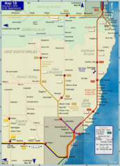
Northern New South Wales Map
Map of long-distance rail system throughout New South Wales and South East Queensland
174 miles away

Port Macquarie Map
195 miles away
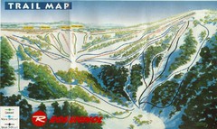
Selwyn Snowfields Ski Trail Map
Trail map from Selwyn snowfields.
199 miles away
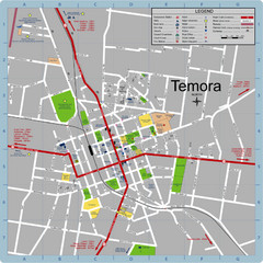
Temora Town Map
214 miles away
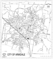
City Of Armidale Map
Large road map clearly marking streets throughout this wonderful city.
231 miles away
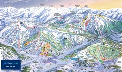
Perisher Ski Trail Map
Trail map from Perisher.
236 miles away
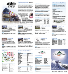
Charlotte Pass Ski Trail Map
Trail map from Charlotte Pass.
241 miles away
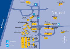
The University of Sydney, Narrabri Campus Map
259 miles away
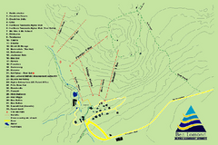
Ben Lomond Ski Trail Map
Trail map from Ben Lomond.
268 miles away
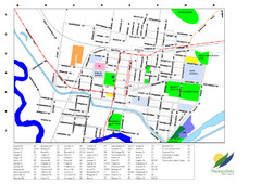
Narrandera Town Map
273 miles away
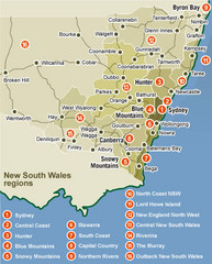
New South Wales Map
Map of New South Wales region with detail of districts
276 miles away
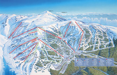
Falls Creek Ski Trail Map
Trail map from Falls Creek.
303 miles away
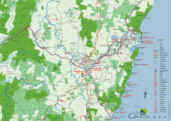
Clarence Valley Tourist Map
Detailed map of the Clarence Valley in New South Wales, Australia. Shows major and minor roads...
306 miles away
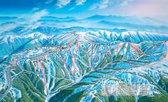
Mount Hotham Ski Trail Map
Trail map from Mount Hotham, which provides downhill, night, nordic, and terrain park skiing. It...
314 miles away

Mount Hotham Ski Trail Map
Mount Hotham Alpine Resort ski trail map
314 miles away
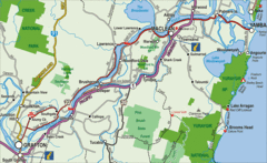
Clarence River Tourist Map
Clarence River in New South Wales, Australia shows cities, roads, tourist information and parks.
318 miles away
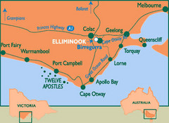
South Victoria, Australia Tourist Map
A major city map of South Victoria, Australia.
323 miles away
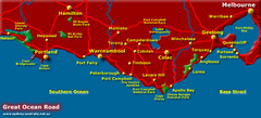
South Victoria, Australia Tourist Map
A major city map of Victoria, Australia.
323 miles away
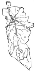
Wangaratta City Map
Map of Rural City of Wangaratta, Australia. Describes all roads, highways, rivers and towns.
326 miles away

