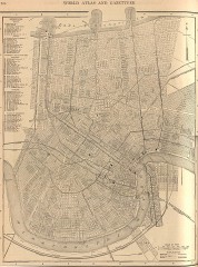
Antique map of New Orleans from 1908
Antique map of New Orleans, Louisiana, from The New Encyclopedic Atlas and Gazetteer of the World...
458 miles away
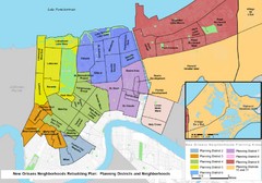
New Orleans Districts Map
Rebuilding map of New Orleans showing districts
458 miles away

New Orleans Magazine Street Map
Illustrated map by Michael A Hill for US Magazine - Lucky for shopping feature.
459 miles away
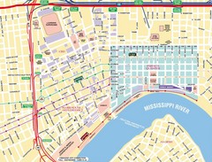
New Orleans Tourist Map
459 miles away
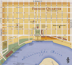
New Orleans Tourist Map
459 miles away
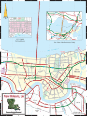
New Orleans Tourist Map
459 miles away
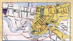
New Orleans Tourist Map
459 miles away
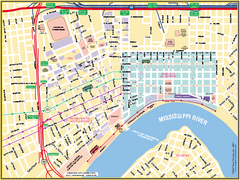
New Orleans French Quarter Street Map
Street map of New Orleans shows French Quarter, Arts/Warehouse District, Downtown/CBD.
459 miles away

University of New Orleans Lakefront Campus Map
459 miles away
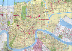
New Orleans, Louisiana City Map
459 miles away
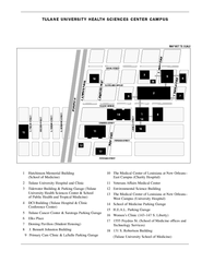
Tulane University Downtown Campus Map
459 miles away
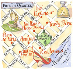
New Orleans French Quarter Map
Map produced for Us Magazine-Lucky for shopping feature on New Orleans.
459 miles away
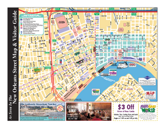
New Orleans French Quarter Map
Tourist street map of French Quarter in city of New Orleans, Louisiana
459 miles away
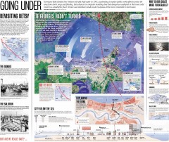
New Orleans Hurricane Map
This map, made before the Hurricane Katrina disaster in 2005, revisits the 1965 Hurricane Betsy and...
461 miles away
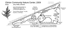
Clinton Community Nature Center Map
A relaxing walk through the Clinton Community Nature Center.
463 miles away
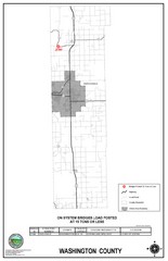
School Bus Route Map
463 miles away
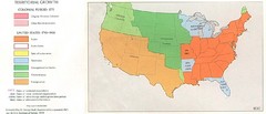
Territorial Expansion in Eastern United States...
464 miles away
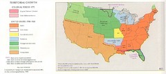
Territorial Expansion in Eastern United States...
464 miles away
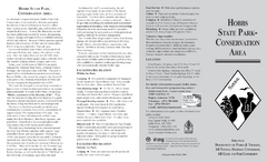
Hobbs State Park Map
Map of Hobbs State Park Conservation Area showing trail heads, roads, places of interests and...
472 miles away
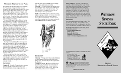
Withrow Springs State Park Map
Map for Withrow Springs State Park showing hiking trails and park amenities.
474 miles away
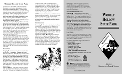
Woolly Hollow State Park Map
Map of Woolly Hollow State Park showing hiking trails and park amenities.
475 miles away
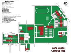
Arkansas State University-Beebe Campus Map
Campus map of Arkansas State University's Beebe campus.
479 miles away
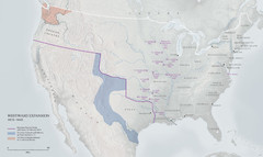
United States, Westward Expansion Map
483 miles away
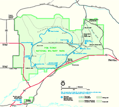
Pea Ridge National Military Park Official Map
Official NPS map of Pea Ridge National Military Park in Arkansas. The park is open year round 8-5...
484 miles away
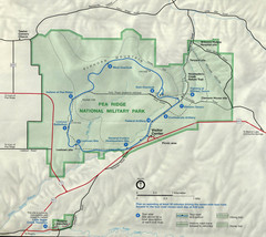
Pea Ridge National Military Park Map
484 miles away
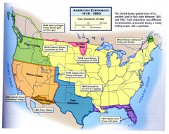
American Expansion 1818-1853 Map
Shows the four major steps through which the US gained most of it's western land between 1818...
486 miles away
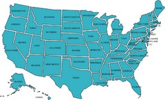
United States Map
487 miles away
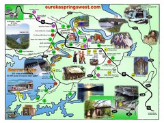
Eureka Springs West Tourist Map
Tourist map of Eureka Springs West on Beaver Lake in Eureka Springs, Arkansas. Shows points of...
487 miles away
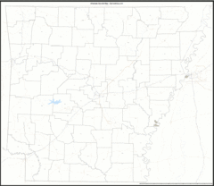
Arkansas Zip Code Map
Check out this Zip code map and every other state and county zip code map zipcodeguy.com.
489 miles away
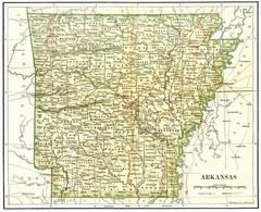
Old Arkansas Map
Old 1892 historical map in great condition.
489 miles away
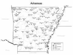
Arkansas Airports Map
489 miles away
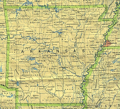
Arkansas County Map
Arkansas divided into counties
489 miles away
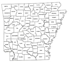
Arkansas Historical County Map
Historical County Map of Arkansas from 1936
489 miles away
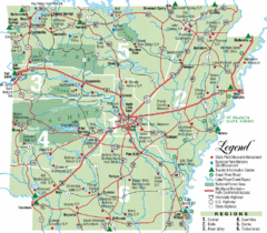
Arkansas State Park Map
Map highlights Arkansas State Parks and tourist areas including towns and major roads.
489 miles away
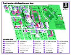
Southwestern College Campus Map
Southwestern College Campus Map. Shows all buildings.
491 miles away
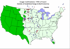
United States Cougar Territory and Eastern...
492 miles away
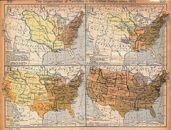
Expansion of United States Territory From 1803...
492 miles away
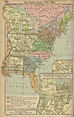
The United States - 1783-1803 Historical Map
492 miles away
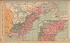
British Colonies - 1763-1776 Historical Map
492 miles away
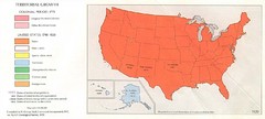
Territorial Expansion in United States - 1920...
492 miles away

