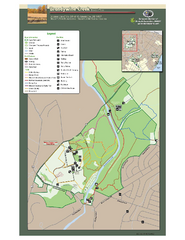
Brandywine Creek State Park Map
Easy to read map and legend of this beautiful state park.
88 miles away
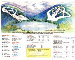
Mount Tone Ski Trail Map
Trail map from Mount Tone.
88 miles away

Locust Lake State Park map
Detailed map of Locust Lake State Park in Pennsylvania
88 miles away
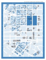
Yale University Campus South and Medical Center...
Yale University Campus South and Medical Center, including the Hewitt Quad, Cross Campus, Old Campus
88 miles away
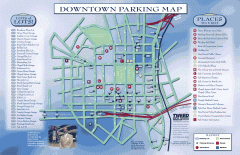
Downtown New Haven Parking Map
Shows locations of all town parking lots and also points of interest
88 miles away
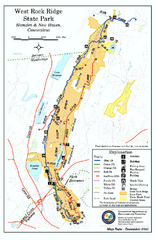
West Rock Ridge State Park map
Trail map of West Rock Ridge State Park in Connecticut.
88 miles away

Yale University Map
88 miles away
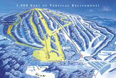
Elk Mountain Ski Trail Map
Trail map from Elk Mountain.
89 miles away
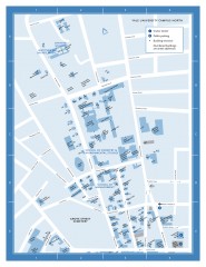
Yale University Campus North Map
Yale University Campus Map - North Campus, including School of Forestry & Environmental Studies...
89 miles away
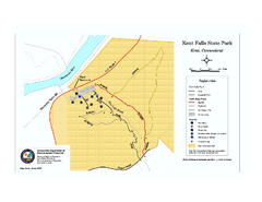
Kent Falls State Park trail map
Trail map of Kent Falls State Park in Connecticut.
89 miles away

Poets Walk Trail Map
Guide to Poet's Walk and Hudson River Overlook
89 miles away
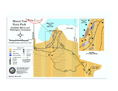
Mount Tom State Park trail map
Trail map of Mt. Tom State Park in Connecticut.
89 miles away
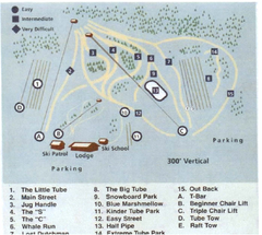
Blue Marsh Ski Area Ski Trail Map
Trail map from Blue Marsh.
90 miles away
Appalachian National Scenic Trail Map
Scenic trail Maine to Georgia
91 miles away
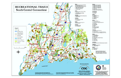
South Central Connecticut Recreational Trail Map
Map of South Central Connecticut showing all recreational trails and open spaces.
92 miles away
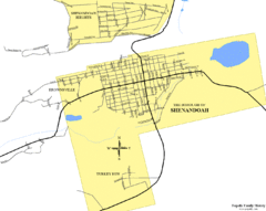
Shenandoah, Pennsylvania Map
92 miles away
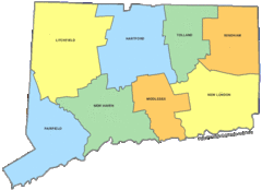
Connecticut Counties Map
92 miles away
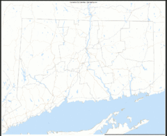
Connecticut Zip Code Map
Check out this Zip code map and every other state and county zip code map zipcodeguy.com.
92 miles away
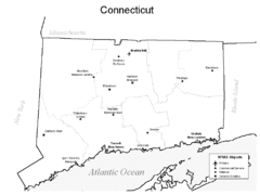
Conneticut Airports Map
92 miles away
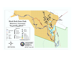
Black Rock State Park trail map
Trail map of Black Rock State Park in Connecticut.
94 miles away
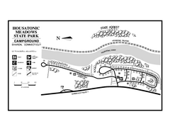
Housatonic Meadows State Park campground map
Campground map for Housatonic Meadows State Park in Connecticut.
94 miles away
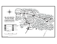
Black Rock Campground map
Map of the Campgrounds in Black Rock State Park.
94 miles away
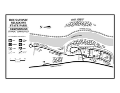
Housatonic State Forest campground map
Campground map of Housatonic State Forest in Connecticut.
94 miles away
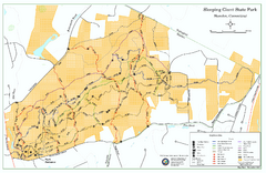
Sleeping Giant State Park map
Trail map for Sleeping Giant State Park in Connecticut.
94 miles away
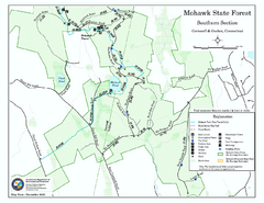
South Mohawk Mountain State Forest (Summer Trails...
Summer trails for South Mohawk State Forest in Connecticut.
95 miles away

South Mohawk Mountain State Forest (Winter Trails...
Winter trial map for the Southern Section of Mohawk Mountain State Forest in Connecticut.
95 miles away
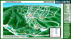
Belleayre Mountain Ski Trail Map
Trail map from Belleayre Mountain.
96 miles away
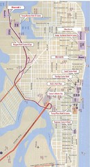
Atlantic City Tourist Map
96 miles away
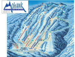
Mohawk Mountain Ski Trail Map
Ski trail map of Mohawk Mountain ski area
96 miles away

Casinos in Atlantic City, New Jersey Map
Tourist map of Atlantic City, New Jersey, showing the locations of casinos, as well as shopping and...
96 miles away

North Mohawk Mountain State Forest (Summer Trails...
Summer trail map of the North section of Mohawk Mountain State Forest in Connecticut.
96 miles away

North Mohawk Mountain State Forest (Winter Trails...
Winter trail map for North Mohawk Mountain State Forest in Connecticut.
96 miles away

Topsmead State Forest map
Trail map for Topsmead State Forest in Connecticut.
97 miles away
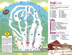
Mount Southington Ski Trail Map
Official ski trail map of Mount Southington ski area from the 2007-2008 season.
98 miles away
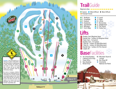
Mt. Southington Ski Area Ski Trail Map
Trail map from Mt. Southington Ski Area, which provides downhill, night, and terrain park skiing...
98 miles away

White Clay Creek Preserve map
White Clay Creek Preserve State Park recreation and trail map
99 miles away
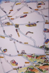
Handrawn Lancaster County Map
Guide to Amish country in Pennsylvania
99 miles away
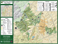
White Clay Creek State Park Map
Clear map and legend of this beautiful state park.
99 miles away
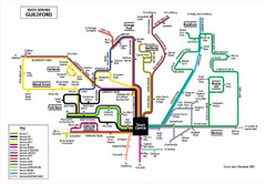
Guilford Bus Services Map
100 miles away
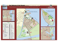
Fort Delaware State Park Map
Nice park on a beautiful island.
100 miles away

