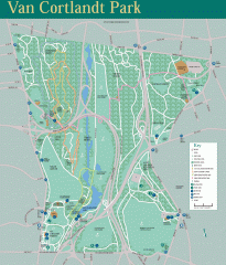
Van Cortlandt Park Trail Map
Trail map of Van Cortlandt Park in the Bronx. Covers 573 acres.
31 miles away
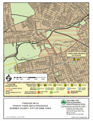
Forest Park Preserve Map
Map of Forest Park Preserve, Queens County, City of New York. 538 acres of trees and fields
31 miles away
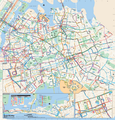
Queens, New York Bus Map
Official MTA Bus Map of Queens, NY. Shows all routes.
32 miles away

Queens College Campus Map
3D map of Queens College campus. All buildings shown.
33 miles away
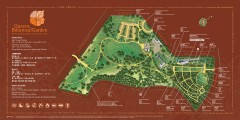
Queens Botanical Garden Map
Shows facilities and names of different gardens. In many languages.
33 miles away
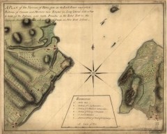
Oyster Bay and Huntington, Huntington Bay Map
A plan of the Narrows of Hells-gate in the East River, near which batteries of cannon and mortars...
33 miles away
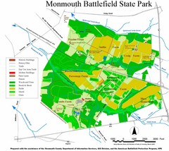
Monmouth Battlefield State Park Map
34 miles away
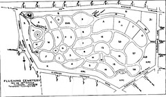
Flushing Cemetery Map
Map of the sections of Flushing Cemetery in Queens
34 miles away
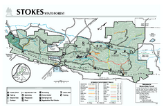
Stokes State Forest map
Trail map of Stokes State Park in New Jersey.
34 miles away
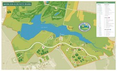
Mercer County Park Map
35 miles away
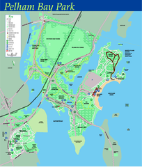
Pelham Bay Park NYC Map
Official detailed map of Pelham bay park, the largest park in New York City at 2,700 acres. Map...
35 miles away

City Island Street Map
Street map of City Island, New York
35 miles away
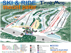
Mt. Peter Ski Area Ski Trail Map
Trail map from Mt. Peter Ski Area.
35 miles away
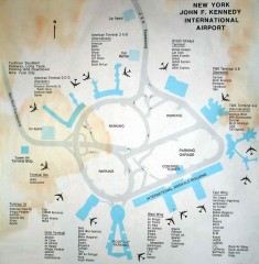
John F. Kennedy International Airport Map
Terminal and Road map of John F. Kennedy International Airport.
36 miles away
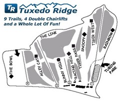
Tuxedo Ridge Ski Trail Map
Trail map from Tuxedo Ridge.
36 miles away
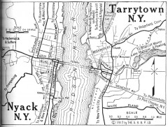
Antique map of Nyack and Tarrytown from 1917
Map of Nyack and Tarrytown, NY from Automobile Blue Book, 1917, Vol. 3
37 miles away
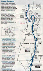
Deleware River Boat Map
38 miles away

Delaware Canal State Park map
Detailed map of Delaware Canal State Park in Pennsylvania. Long dimension.
38 miles away
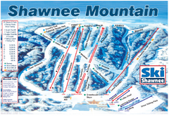
Shawnee Mountain Ski Trail Map
Trail map from Shawnee Mountain.
38 miles away
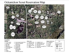
Camp Okanickon Scout Reservation Map
Location Map for Boy Scout Camp in Pennsylvania
40 miles away
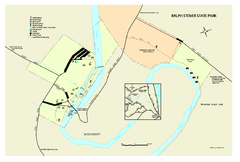
Ralph Stover State Park map
Detailed recreation map for Ralph Stover State Park in Pennsylvania
40 miles away
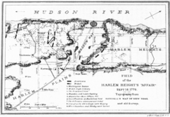
Harlem Hieghts Affair Map
Topography of the field during the battle on Sept 16 1776
42 miles away

Six Flags Great Adventure Theme Park Map
Official park map of Six Flags Great Adventure, New Jersey.
42 miles away
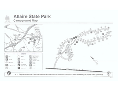
Allaire State Park campground map
Campground map for Allaire State Park in Vermont
44 miles away
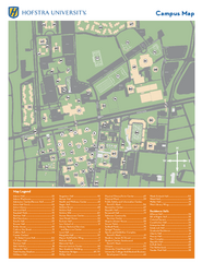
Hofstra University Campus Map
45 miles away

Tyler State Park map
Detailed recreation map for Tyler State Park in Pennsylvania
45 miles away
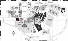
Nassau Community College Map
Campus Map
45 miles away
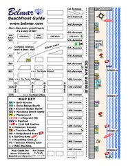
Belmar Tourist Map
Tourist map of Belmar, New Jersey beachfront. Shows beach services.
45 miles away

Nockamixon State Park Map
Detailed recreation map for Nockamixon State Park in Pennsylvania.
45 miles away
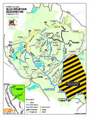
Blue Mountain Reservation Mountain Bike Trail Map
Mountain biking map of the Blue Mountain Reservation from the Westchester Mountain Biking...
46 miles away
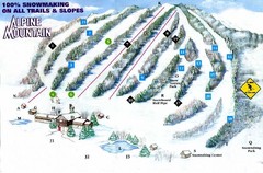
Alpine Mountain Ski Trail Map
Trail map from Alpine Mountain.
47 miles away
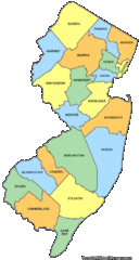
New Jersey Counties Map
48 miles away
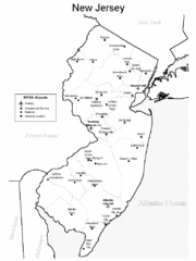
New Jersey Airports Map
48 miles away
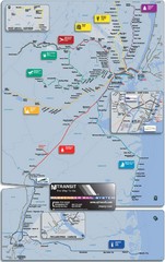
New Jersey Meadowlands Transportation Guide Map
48 miles away

New Jersey Tourist Map
Hand drawn tourist map of state of New Jersey, 1955.
49 miles away

Upper Bucks County, Pennsylvania Tourist Map
Cities within the Upper Bucks County in Pennsylvania
49 miles away
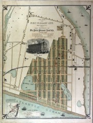
Antique map of Point Pleasant from 1880
Antique map of Point Pleasant, New Jersey from c. 1880.
50 miles away
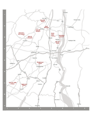
Shawangunk Wine Trail Map
Map of the Shawangunk Wine Trail on the Hudson River in New York. Shows all vineyards and wineries...
51 miles away

Big Pocono State Park map
Detailed map for Big Pocono State Park in Pennsylvania.
51 miles away

