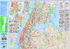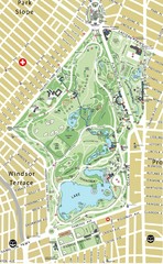
Prospect Park Map
26 miles away
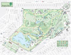
Prospect Park Map
Overview map of Prospect Park, a 585-acre city park located in the heart of Brooklyn. Designed by...
26 miles away
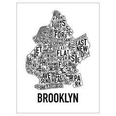
Brooklyn Neighborhood Art Map
Artistic neighborhood map of Brooklyn
26 miles away
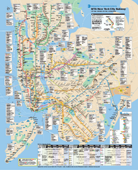
New York City MTA Subway Map
Official subway map for New York City
26 miles away
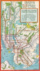
New York Subway Map, 1930
A New York City subway map from the 1930s
26 miles away
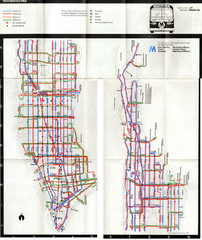
1974 Manhattan Bus Map
26 miles away

Broadway Elevation Map
Illustrative section of Broadway, from 125th Street to 134th Street, looking east
26 miles away
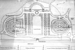
Central Park Conservatory Garden Map
Map of the Conservatory Garden in Central Park, New York City. Photo of outdoor map.
26 miles away
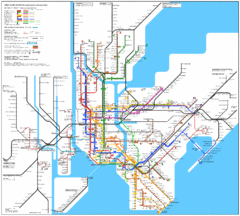
New York Subway Map
The subway and nearby railways in New York City
26 miles away
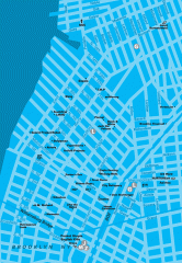
Williamsburg Art Gallery map
Map of Williamsburg and Greenpoint art galleries in Brooklyn, New York. Shows subway stops as well.
26 miles away

Manhattan Bus Map
26 miles away
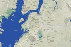
Brooklyn Map
27 miles away
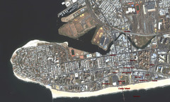
Coney Island Map
Aerial photo Coney Island map
27 miles away
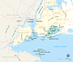
Gateway National Recreation Area Map
Park map of lands in the NPS Gateway National Recreation Area in New York and New Jersey. Shows...
27 miles away
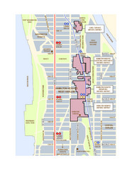
Hamilton Heights West Harlem Map
Hamilton Heights - West Harlem, New York City community map
27 miles away
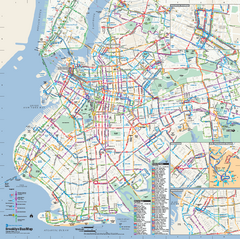
Brooklyn, New York Bus Map
Official MTA Bus Map of Brooklyn, New York. Shows all routes.
27 miles away
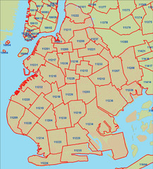
Brooklyn zip codes Map
27 miles away
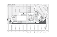
Brooklyn College Campus Map
Brooklyn College Campus Map. All buildings shown.
27 miles away
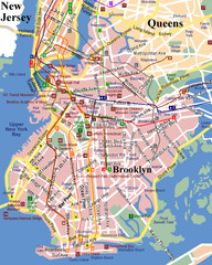
Brooklyn, Attractions Map
27 miles away
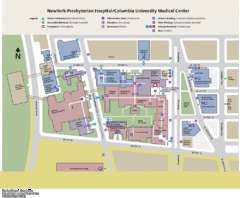
Columbia University Medical Center Map
27 miles away

Manhattan Waterfront Greenway Bike Map
Bike map of the Manhattan Waterfront Greenway. Shows walking and biking paths, ferry landings and...
28 miles away
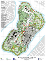
Randall's Island Park Map
Master plan for Randall's Island Park
28 miles away
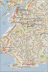
Brooklyn Attractions map
Map of attractions and points of interest in Brooklyn, New York.
28 miles away
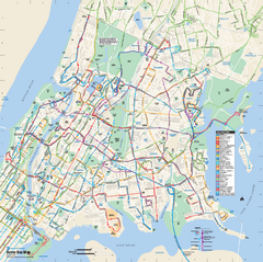
Bronx, New York Bus Map
Official MTA Bus Map of all of the Bronx, New York. Shows all routes.
28 miles away
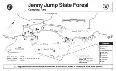
Jenny Jump State Forest map
Trail and camping map of Jenny Jump State Forest in New Jersey.
28 miles away
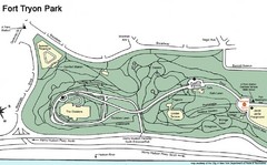
Fort Tyron Park Map
28 miles away
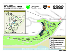
Highbridge Park mountain bike trail map
Mountain biking trail network opened in May 2007. Only mountain biking trails in Manhattan. 25...
29 miles away
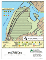
Inwood Hill Park Map
Park map of Inwood Hill Park in the Shorakapok Preserve, New York. 136 acres.
29 miles away
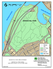
Inwood Hill Park Trail Map
Trail map of Inwood Hill Park located at the extreme northern tip of Manhattan. 136 acres.
29 miles away
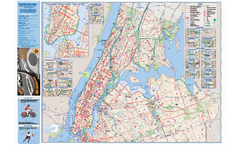
NYC Biking Route Map (Manhattan & Queens)
Official NYC biking map of Manhattan and Queens.
30 miles away
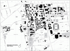
Princeton University Campus Map
Princeton University Campus
30 miles away
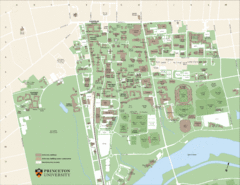
Princeton University Map
Campus map of Princeton University in Princeton, NJ. Shows all buildings
30 miles away
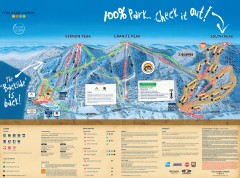
Mountain Creek Ski Trail Map
Official ski trail map of Mountain Creek ski area from the 2007-2008 season. (formerly Vernon...
30 miles away

Dining Services at Princeton University Map
30 miles away

Hidden Valley Ski Trail Map
Trail map from Hidden Valley.
30 miles away

Mountain Creek South Ski Trail Map
Trail map from Mountain Creek.
30 miles away
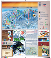
Mountain Creek North Ski Trail Map
Trail map from Mountain Creek.
30 miles away
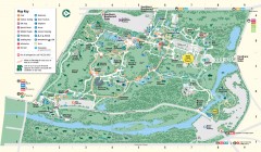
Bronx Zoo Map
Bronx Zoo. The Zoo is open 365 days a year. "Now through November 4, 2007, our hours are 10...
31 miles away
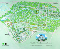
The New York Botanical Garden Map
Official Map of The New York Botanical Garden in New York. Shows all areas and different gardens.
31 miles away

