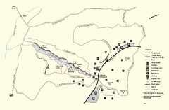
Purgatory Chasm State Reservation trail map
Trail map of Purgatory Chasm State Reservation in Massachusetts.
172 miles away
South Laurel, Maryland Map
172 miles away
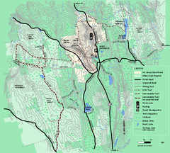
Mt. Grace State Forest trail map
Trail map of Mt. Grace State Forest near Warwick, Massachusetts.
172 miles away
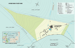
Hyner Run State Park map
Detailed recreation map for Hyner Run State Park in Pennsylvania
172 miles away
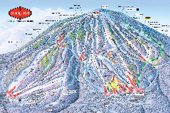
Stratton Mountain Resort Ski Trail Map
Trail map from Stratton Mountain Resort.
173 miles away
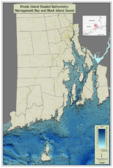
Rhode Island Shaded Bathymetry Map
Bathymetric map of Rhode Island with Narrangansett Bay and Rhode Island Sound. Graduated...
173 miles away
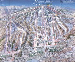
Mount Snow Trail Map 2001
Ski trail map of Mount Snow ski area, estimated 2001
173 miles away
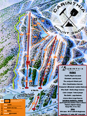
Mount Snow Carinthia Terrain Park Ski Trail Map
Trail map from Mount Snow.
173 miles away
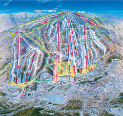
Mount Snow Ski Trail Map - main face
Trail map of main face of Mt Snow ski area near Wilmington, Vermont
173 miles away
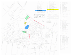
Worcester Polytechnic Institute Campus Map
Map of Worcester Polytechnic Institute. Includes all buildings, parking, streets, and location of...
173 miles away
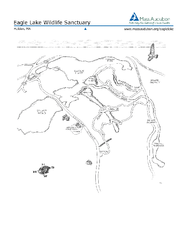
Eagle Lake Conservation Area Map
173 miles away
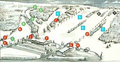
Tussey Mountain Ski Trail Map
Trail map from Tussey Mountain.
173 miles away

Greenwood Furnace State Park Ma Map
Detailed map of Greenwood Furnace State Park in Pennsylvania
174 miles away
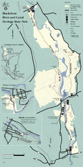
Heritage State Park Map
Clear state park map marking trails and facilities.
174 miles away
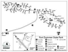
Fort Dummer State Park Campground Map
Campground map of Fort Dummer State Park in Vermont
174 miles away
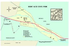
Mont Alto State Park Map
Detailed recreation map for Mont Alto State Park in Pennsylvania
174 miles away
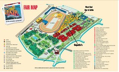
New York State Fairgrounds Map
174 miles away
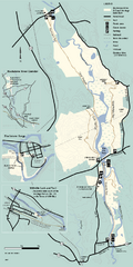
Blackstone Trail Map
Map of Blackstone River State Park in Massachusetts.
175 miles away
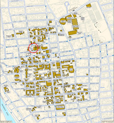
Providence, Rhode Island City Map
175 miles away
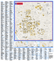
Brown University Campus Map
Official campus map of Brown University.
175 miles away
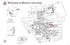
Brown University Map
175 miles away
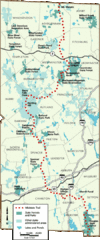
Midstate Trail Map
Map of the Midstate Trail, which runs from Ashburnham to the Rhode Island border. Shows state...
175 miles away
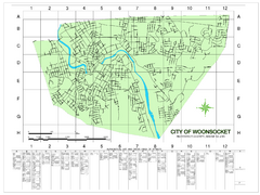
Woonsocket Street Map
Street map of Woonsocket, Rhode Island. Shows street legend.
176 miles away
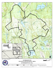
Hubbardston WMA Map
176 miles away
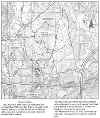
Trout Brook Conservation Area Map
177 miles away
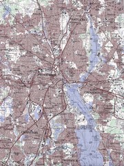
Providence Topo Map
Topo map of Providence, East Providence, Cranston, and Pawtucket, RI. Original scale 1:50,000
177 miles away

Marcellus Snowmobile Trail Map
Map of snowmobile trails throughout Marcellus area
178 miles away
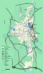
Otter River State Forest summer trail map
Summer trail map of the Otter River State Forest area in Massachusetts.
178 miles away
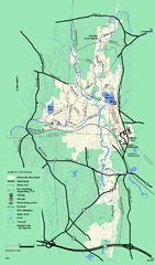
Otter River State Forest winter trail map
Winter usage trail map for Otter River State Park in Massachusetts.
178 miles away
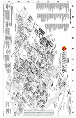
University of Maryland at College Park Map
Campus Map of the University of Maryland at College Park. All buildings shown.
178 miles away

Six Flags America Theme Park Map
Official Park Map of Six Flags America in Washington D.C.
178 miles away

Ole Bull State Park Map
Detailed recreation map of Ole Bull State Park in Pennsylvania
179 miles away
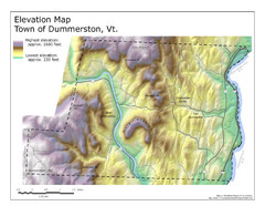
Elevation Map of Dummerston, Vermont
This Hypsometric map is a map that distinguishes elevations progression within a specific...
179 miles away
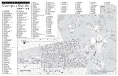
Penn State - University Park Campus Map
Official campus map of the Penn State University Park Campus, 2007-08. Located in the heart of...
179 miles away
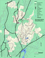
Upton State Forest trail map
Trail map for Upton State Forest in Massachusetts.
179 miles away
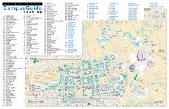
Pennsylvania State University - University Park...
Campus map of Pennsylvania State University - University Park. All buildings shown.
179 miles away

Whipple Dam State Park map
Detailed recreation map for Whipple Dam State Park in Pennsylvania
179 miles away
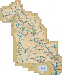
Blackstone Valley tourist map
Tourist map of the Blackston Valley in Rhode Island and Massachusetts. Shows hiking, biking, and...
179 miles away
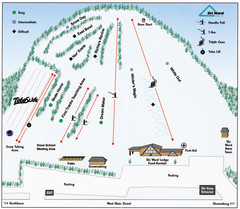
Ski Ward Ski Trail Map
Trail map from Ski Ward.
179 miles away
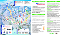
Wachusett Mountain Ski Trail Map
Trail map from Wachusett Mountain.
179 miles away

