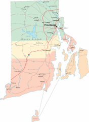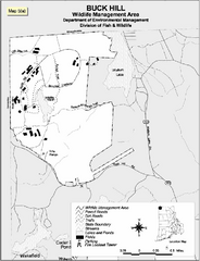
Buck Hill Wildlife Management Area Map
163 miles away
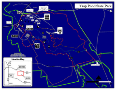
Trap Pond State Park Map
Delaware State Park map.
163 miles away
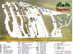
Toggenburg Ski Center Ski Trail Map
Trail map from Toggenburg Ski Center.
164 miles away
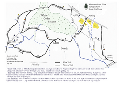
Sprague Farm - Glocester Land Trust Map
164 miles away
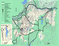
Wendell State Forest trail map
Trail map of Wendell State Forest in Massachusetts.
164 miles away
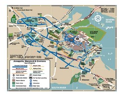
Annapolis Tourist map
164 miles away
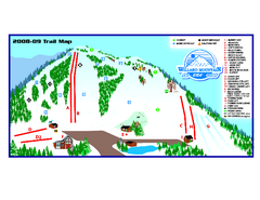
Willard Mountain Ski Area Ski Trail Map
Trail map from Willard Mountain Ski Area.
164 miles away
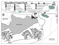
Woodford State Park Campground Map
Campground map for Woodford State Park in Vermont
165 miles away
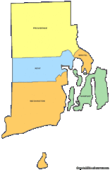
Rhode Island Counties Map
165 miles away
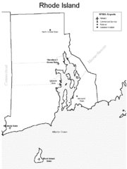
Rhode Island Airports Map
165 miles away
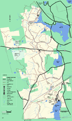
Douglas State Forest trail map
Trail map of the Douglas State Forest in Massachusetts
165 miles away
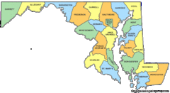
Maryland Counties Map
165 miles away
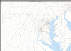
Maryland Zip Code Map
Check out this Zip code map and every other state and county zip code map zipcodeguy.com.
165 miles away
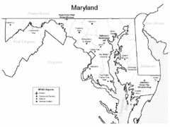
Marylands Airports Map
165 miles away

Song Mountain Ski Trail Map
Trail map from Song Mountain.
166 miles away
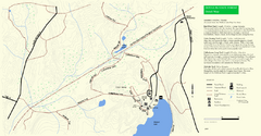
Douglas State Park Detail Map
166 miles away
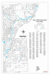
West Warwick Town Map
Street map of W. Warwick
166 miles away
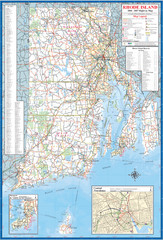
Rhode Island Road Map
Official Rhode Island state highway map. Insets show Newport and Providence.
166 miles away
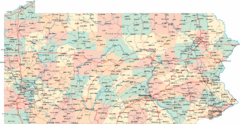
Pennsylvania Road Map
Pennsylvania detailed road map
167 miles away
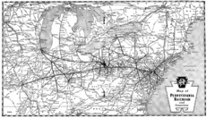
Pennsylvania Railroad System Map
Pennsylvania Railroad system map
167 miles away
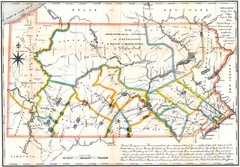
Pennsylvania Survey Map 1791
Survey Map 1791
167 miles away
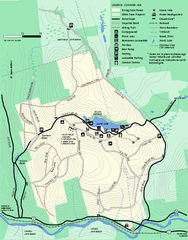
Erving Summer trail map
Summer use map of Erving State Park in Massachusetts.
167 miles away
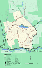
Erving State Park winter use map
Winter use map of the Erving State Park in Massachusetts
168 miles away
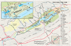
Bald Eagle State Park map
Detailed trail map of Bald Eagle State Park in Pennsylvania.
168 miles away
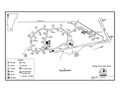
Molly Stark State Park Campground Map
Campground map for Molly State State Park in Vermont
168 miles away
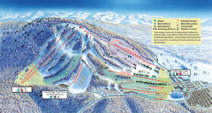
Liberty Mountain Ski Trail Map
Trail map from Liberty Mountain.
168 miles away
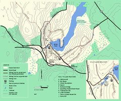
Moore State Park trail map
Trail map of Moore State Park in Massachusetts.
169 miles away
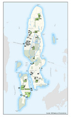
Conanicut Island Land Trust Map
Shows 430 acres of property on Conanicut Island, RI stewarded by the Conanicut Island Land Trust
169 miles away

Leonard Harrison State Park Map
Detailed map for Leonard Harrison State Park in Pennsylvania.
169 miles away
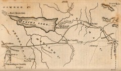
Antique map of Utica, NY from 1830
Map of Utica, NY from The Northern Traveller, and Northern Tour; with the Routes to The Springs...
170 miles away
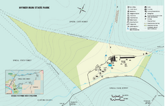
Hyner View State Park map
Detailed map of Hyner View State Park in Pennsylvania
170 miles away
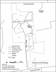
Parker Farm Trail Map
170 miles away
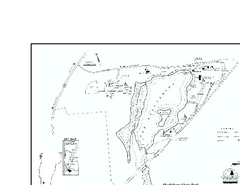
Shaftsbury State Park Map
Campground map of Shaftsbury State Park in Vermont.
170 miles away

Penn-Roosevelt State Park map
Recreation map for Penn Roosevelt State Park in Pennsylvania
170 miles away
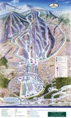
Haystack Club Ski Trail map
Official ski trail map of Haystack ski area from the 2006-2007 season.
170 miles away

Caledonia State Park map
Detailed map of Caledonia State Park area in Pennsylvania.
170 miles away
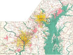
Washington D.C and Baltimore, MD City Map
170 miles away
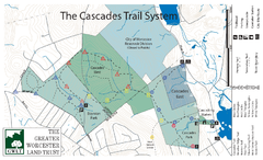
Cascades Park Map
171 miles away
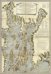
Narrangansett Bay Map 1777
"A Topographical CHART of the BAY of NARRAGANSET in the Province of NEW ENGLAND. with the...
172 miles away

