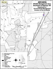
Arcadia Wildlife Management Area Map - Southeast
Reference map shows portion of Arcadia Wildlife Management Area, Rhode Island southeast of Highway...
154 miles away
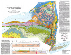
New York State Geologic Map
1:1,000,000 scale geological map of New York State
154 miles away
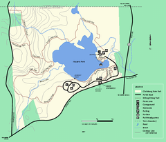
Clarksburg State Park trail map
Trail map of Clarksburg State Park in Massachusetts.
155 miles away
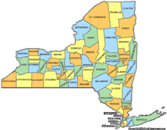
New York Counties Map
155 miles away
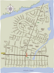
Bethany Beach Tourist Map
156 miles away
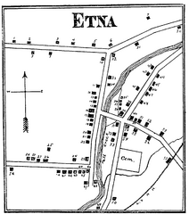
Etna 1897 City Map
Key to the Map of Etna (1897) 1. Mrs. C. Turner. 38. Blacksmith Shop. 2. J. T. Primrose. 39. Houtz...
156 miles away
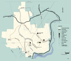
Monroe State Forest trail map
Trail map of Monroe State Forest in Massachusetts.
156 miles away
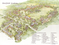
Deerfield Academy Campus Map
Shows buildings and facilities of Deerfield Academy. Scanned.
157 miles away
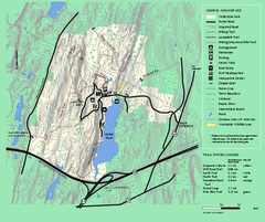
Wells State Park trail map
Trail map of Wells State Park in Massachusetts.
157 miles away
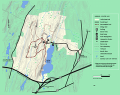
Wells State Park winter trail map
Winter use trail map of Wells State Park in Massachusetts.
157 miles away
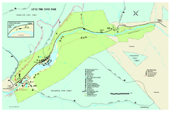
Little Pine State Park Map
Detailed recreation map for Little Pine State Park in Pennsylvania
157 miles away
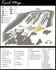
Ski Sawmill Ski Trail Map
Trail map from Ski Sawmill.
157 miles away
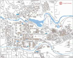
Cornell Campus Map
Map of Cornell University's Ithaca campus
158 miles away
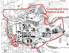
Map of Water contamination at Cornell University...
158 miles away

Cornell University Map
158 miles away
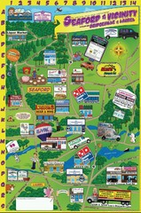
Seaford Delaware Cartoon Map
158 miles away
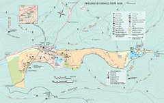
Pine Grove Furnace State Park map
Detailed recreation map for Pine Grove Furnace State Park in Pennsylvania
158 miles away

Reeds Gap State Park map
Detailed recreation map of Reeds Gap State Park in Pennsylvania
158 miles away

Poe Valley State Park map
Detailed recreation map for Poe Valley State Park in Pennsylvania
158 miles away
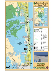
Fenwick Island State Park Map
Great state park map with clear key.
159 miles away

Colonel Denning State Park map
Detailed map of Colonel Dening State Park in Pennsylvania
159 miles away
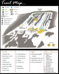
Ski Sawmill Family Resort Trail Map
Map shows trails, lifts and skier services.
159 miles away
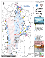
Quabbin Reservoir Fishing Map
Fishing access map of Quabbin Reservoir. Shows all ponds and submerged ponds.
159 miles away

Gettysburg Battlefield Map
160 miles away
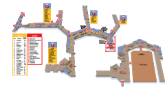
Baltimore Washington International Airport Map
160 miles away
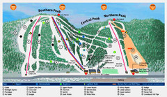
Labrador Mountain Ski Trail Map
Trail map from Labrador Mountain.
160 miles away
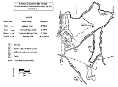
Pulaski State Park Map
160 miles away
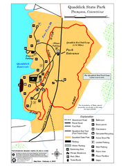
Quaddick State Park Trail Map
160 miles away

Hills Creek State Park map
Detailed map of Hills Creek State Park in Pennsylvania
160 miles away
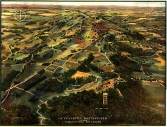
Gettysburg Battlefield in 1913 Map
Bird's eye view map of the Gettysburg Battlefield in 1913 by the Pennsylvania Railroad. From...
161 miles away
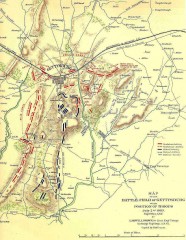
Gettysburg Battlefield map July 2, 1863
Map of the Union and Confederate positions in the Battle of Gettysburg July 2, 1863. "On July...
161 miles away
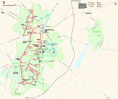
Gettysburg National Military Park Official Map
Official NPS map of Gettysburg National Military Park in Virginia. The park is open daily from 6...
161 miles away
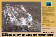
Yawgoo Valley Ski Trail map
Map of Yawgoo Valley Ski area in Exeter, Rhode Island. It is the only skiing resort in Rhode...
161 miles away
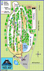
Yawgoo Valley Ski Area Ski Trail Map
Trail map from Yawgoo Valley Ski Area.
161 miles away
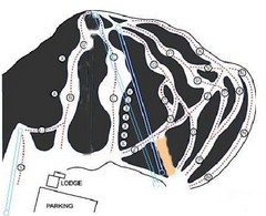
Royal Mountain Ski Trail Map
Trail map from Royal Mountain.
162 miles away
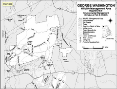
George Washington Wildlife Management Area Map
162 miles away
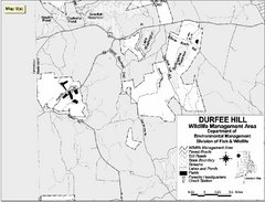
Durfee Hill Wildlife Management Area Map
162 miles away
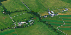
Eisenhower Farm National Historic Site Map
Visitor map of former US president Dwight D. Eisenhower's farm, a National Historic Site. 1.5...
162 miles away

United States Naval Academy Map
Campus map
163 miles away

Mine Brook Wildlife Management Area Map
163 miles away

