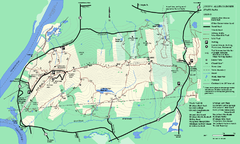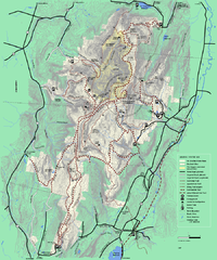
Mt. Greylock State Reservation winter trail map
Winter use trail map of Mt. Greylock State Park in Massachusetts.
147 miles away
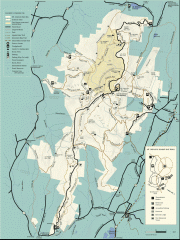
Mt. Greylock State Reservation map
Official summer map of the Mount Greylock State Reservation. At 3,491 feet, Mount Greylock is the...
147 miles away
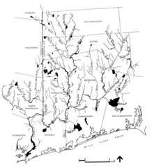
Rhode Island Coastal Watershed Map
Paddling Guide of Pawcatuck River Watershed
147 miles away
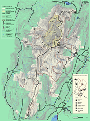
Mt. Greylock State Reservation summer trail map
Summer trail map of the Mt. Greylock State Park area in Massachusetts.
147 miles away
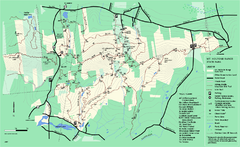
Mount Holyoke Range State Park Map
Trail map of Holyoke Range State Park.
147 miles away
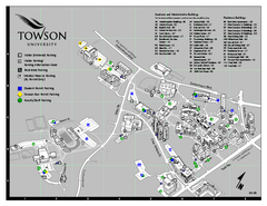
Towson University Map
Towson University Campus Map. All areas shown.
147 miles away

Palmer Motorsports Park Map
Track Map for Proposed Palmer Motorsports Park
148 miles away
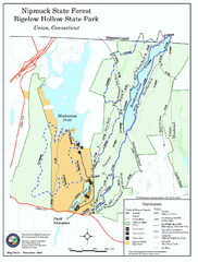
Bigelow Hollow State Park trail map
Trail map of Bigelow Hollow State Park in Connecticut.
148 miles away
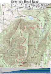
Mt. Greylock Road Race Course Map
Course map of the annual Mount Greylock Road Race. 8 Miles (uphill). Start/Finish: Mt. Williams...
148 miles away
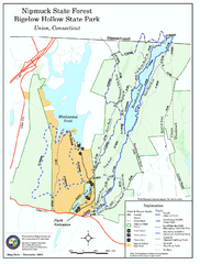
Nipmuck State Forest trail map
Trail map of Nipmuck State Forest and Bigelow Hollow State Park in Connecticut.
149 miles away
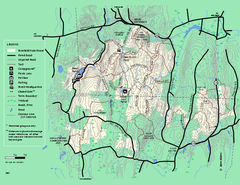
Brimfield State Forest trail map
Trail map of Brimfield State Forest in Massachusetts
149 miles away
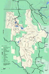
Savoy Mountain winter map
Winter use map of Savoy Mountain in Massachusetts.
149 miles away
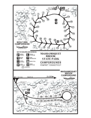
Mashamoquet Brook State Park campground map
Campground map of Mashamoquet Brook State Park in Connecticut.
149 miles away
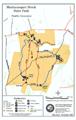
Mashamoquet Brook State Park trail map
Trail map of Mashamoquet Brook State Park in Connecticut.
149 miles away
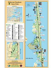
Deleware Seashore State Park Map
Park with perfect views and hiking routes.
150 miles away
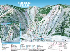
Greek Peak Ski Trail Map
Official ski trail map of Greek Peak ski area from the 2006-2007 season.
150 miles away

Greek Peak Ski Resort Ski Trail Map
Trail map from Greek Peak Ski Resort.
150 miles away
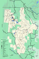
Savoy Mountail trail map
Trail map for Savoy Mountain in Massachusetts.
150 miles away
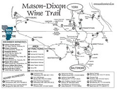
Mason-Dixon Wine Trail Map
Map of the Mason-Dixon Wine Trail, showing area wineries, historical sites, and lodging.
150 miles away
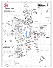
University of Massachusetts - Amherst Map
Campus Map of the University of Massachusetts - Amherst. All buildings shown.
150 miles away
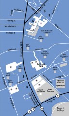
Downtown Amherst, Massachusetts Map
Tourist map of downtown Amherst, Massachusetts, showing attractions, government buildings, atms...
151 miles away
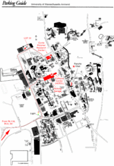
University of Massachusetts Amherst Parking Map
Map of the University of Massachusetts. Includes all buildings, streets, and parking information.
151 miles away
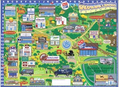
Georgetown Delaware Cartoon Map
151 miles away
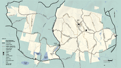
Kenneth Dubuque Memorial State Park trail map
Trail map of the Kenneth Dubuque state park conservation area in Massachusetts.
151 miles away
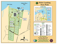
Hots Landing State Park Map
Clear map and legend.
152 miles away
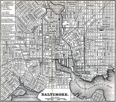
Antique Map of Baltimore from 1869
Antique map of Baltimore Maryland from Appletons' Hand-Book of American Travel. Published in...
152 miles away
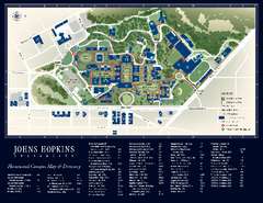
The Johns Hopkins University Map
The Johns Hopkins University Campus Map. All buildings shown.
152 miles away
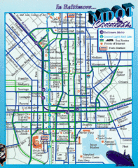
Baltimore, Maryland City Map
152 miles away
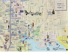
Baltimore Tourist Map
152 miles away
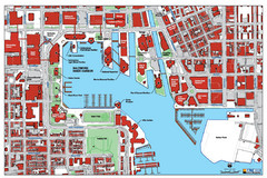
Baltimore Harbor Map
Guide to Baltimore, Maryland harbor
153 miles away
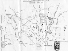
Arcadia Management Area State Map
Trail map for Arcadia Management Area in Rhode Island
153 miles away
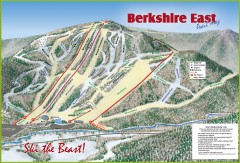
Berkshire East Ski Trail Map
Official ski trail map of Berkshire East ski area from the 2007-2008 season.
153 miles away
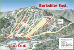
Berkshire East Ski Area Ski Trail Map
Trail map from Berkshire East Ski Area.
153 miles away
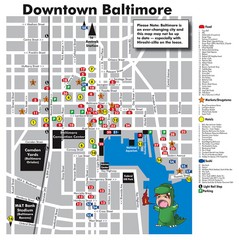
Downtown Baltimore Tourist Map
Map of Food, Hotels and Major Attractions surrouding the Baltimore Convention Center in Baltimore...
153 miles away
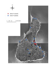
Native and Exotic Phragmites on Block Island Map
153 miles away
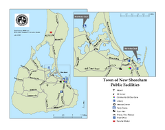
Block Island Road Map
Shows roads and major facilities on Block Island, RI (New Shoreham)
153 miles away
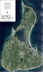
Block Island Aerial Map
Aerial map of Block Island, RI (New Shoreham, RI). True color orthophotography from August 2006.
153 miles away
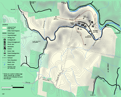
Mohawk Trail State Forest map
Map of the Mohawk Trail State Forest in Charlemont, Massachusetts.
153 miles away
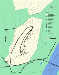
Mt. Sugarloaf State Reservation trail map
Trail map of Mount Sugarloaf State Reservation
154 miles away

