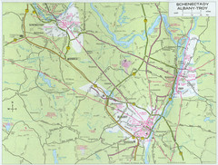
Albany, New York City Map
137 miles away

Mt. Pisgah State Park map
Detailed recreation map for Mt Pisgah State Park in Pennsylvania
137 miles away
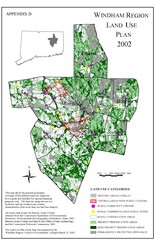
2002 Windham Region Land Use Map
Regional Land Use Guide Map for Planning Purposes
137 miles away

Mansfield Cemetery Map
137 miles away
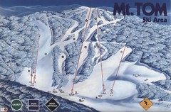
Mount Tom Ski Trail Map
Trail map from Mount Tom, which provides downhill skiing. This ski area opened in 1962.
137 miles away
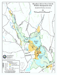
Mansfield Hollow State Park map
Map for Mansfield Hollow State Park and Wildlife Management Area in Connecticut.
138 miles away
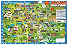
Milford Delaware Cartoon Map
138 miles away
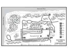
Salt Rock State Park campground map
Campground Map of Salt Rock State Campground in Connecticut.
138 miles away
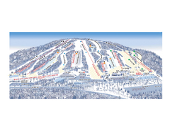
Ski Roundtop Ski Trail Map
Trail map from Ski Roundtop.
138 miles away
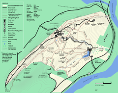
Mt. Tom State Reservation trail map
Trail map of Mt. Tom State Reservation
138 miles away
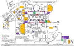
New York State University Uptown Campus Map
Map of the NYS University Campus, including all buildings, streets, and Visitors Parking...
138 miles away
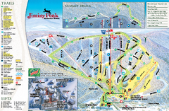
Jiminy Peak Resort Ski Trail Map
Trail map from Jiminy Peak Resort.
138 miles away
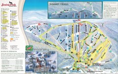
Jiminy Peak Ski Trail Map
Official ski trail map of Jiminy Peak ski area from the 2007-2008 season.
138 miles away
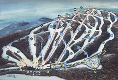
Brodie Ski Trail Map
Trail map from Brodie.
139 miles away
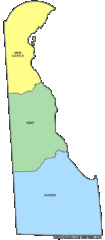
Delaware Counties Map
139 miles away
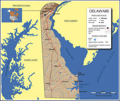
Delaware Tourist Map
139 miles away
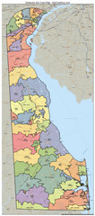
Delaware Zip Code Map
Check out this Zip code map and every other state and county zip code map zipcodeguy.com.
139 miles away
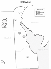
Delaware Airports Map
139 miles away
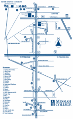
South Pennsylvania Restaurant Map
140 miles away
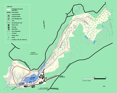
Chicopee State Park trail map
Chicopee State Park trail map
140 miles away
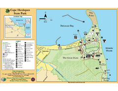
Cape Henlopen State Park Map
Beautiful park with delightful recreational activities.
141 miles away
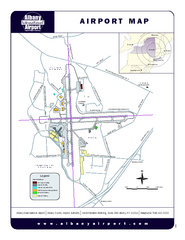
Albany International Airport Map
Official Map of the Albany International Airport in New York. Shows all terminals.
142 miles away

Boyd Big Tree Preserve Conservation Area map
Detailed map of Boyd Big Tree Preserve Conservation Area in Pennsylvania.
143 miles away
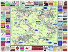
North County Berkshires map
Tourist map of North County - Pittsfield, N. Adams, Adams, Lanesboro, Cheshire, Williamstown...
143 miles away
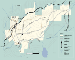
Windsor State Forest trail map
Trail map of Windsor State Forest in Massachusetts.
144 miles away

R. B. Winter State Park map
Recreation map for R. B. Winter State Park in Pennsylvania
144 miles away
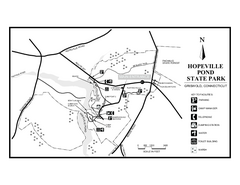
Hopeville Pond State Park trail map
Trail map for Hopevill Pond State Park in Connecticut
144 miles away
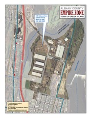
Green Island Map
Aerial town map of Green Island, New York on the Hudson River
144 miles away
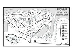
Hopeville Pond campground map
Campground map of Hopeville Pond State Park in Connecticut.
144 miles away
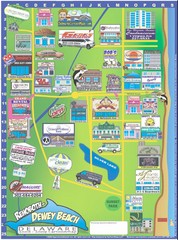
Rehoboth Beach Delaware Cartoon Map
144 miles away
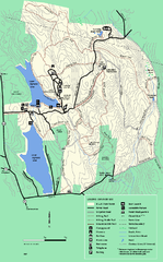
DAR State Forest summer map
Summer use map of the Daughters of the American Revolution state forest.
145 miles away
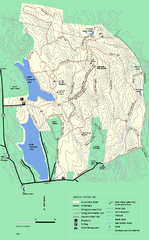
DAR State Forest winter map
Winter use map of the Daughters of the American Revolution State Forest.
145 miles away

Little Buffalo State Park map
Detailed map of Little Buffalo State Park in Pennsylvania.
145 miles away
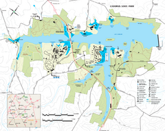
Codorus State State Park map
Detailed recreation map for Codorus State Park in Pennsylvania
145 miles away
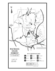
Pachaug State Forest map
Trail map of Pachaug State Forest in Connecticut.
146 miles away
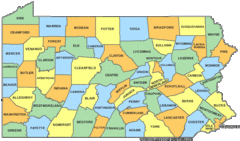
Pennsylvania Counties Map
147 miles away
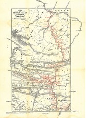
Lehigh Valley Railroad Historical Map
Built in 1846, this railroad was built primarily to haul coal. It was also known as the Route of...
147 miles away
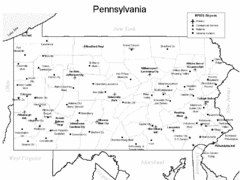
Pennsylvania Airports Map
147 miles away
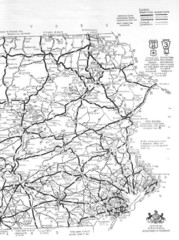
Eastern Pennsylvania Road Map
147 miles away
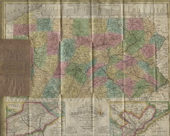
Pennsylvania Tourist Pocket Map
The map is dated 1820-31 by counties shown and comes from Anthony Finley's A New General Atlas...
147 miles away

