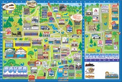
Dover Delaware Cartoon Map
123 miles away
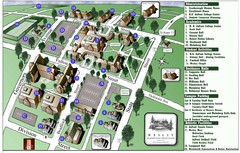
Wesley College Campus Map
Campus map of Wesley College in Dover, Delaware
124 miles away
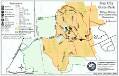
Gay City State Park trail map
Trail map of Gay City State Park in Connecticut.
124 miles away

Eastern Long Island Placemat map
Photo of a placemat map from Gosman's Dock Restaurant in Montauk, NY. Shows eastern Long...
125 miles away
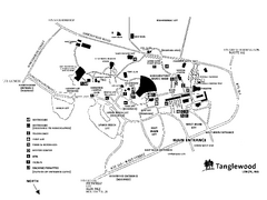
Tanglewood Map
Detailed map of the Tanglewood grounds that includes the location of the Box Office, Friends Office...
126 miles away
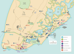
Diamond Beach Tourist Map
126 miles away
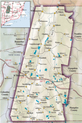
Berkshires Map
Overview map of the Berkshires region of Western Massachusetts
126 miles away
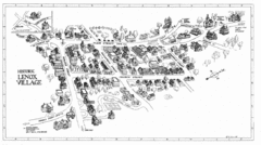
Lenox Village Map
Hand-drawn village map of historic center of Lenox, Massachusetts
127 miles away
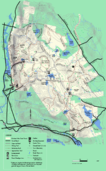
October Mountain State Forest trail map
Trail map of October Mountain State Forest in Massachusetts.
127 miles away

Milton State Park map
Detailed recreation map of Milton State Park in Pennsylvania
127 miles away
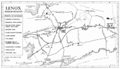
Lenox Town Map
Hand-drawn town map of Lenox, Mass. Bordered by Lenox Mountain and October Mountain. Shows points...
127 miles away
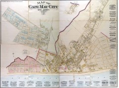
Antique map of Cape May from 1886
Antique map of Cape May, New Jersey from 1886.
128 miles away
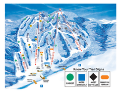
Blandford Ski Area Ski Trail Map
Trail map from Blandford Ski Area.
128 miles away
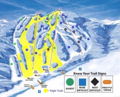
Blandford Ski Trail Map
Official ski trail map of Blandford ski area
128 miles away
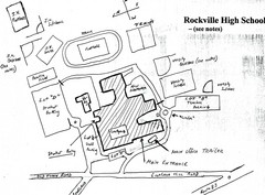
Rockville High School Map
Hand-drawn map of Rockville High School includes all buildings, Parking Lots, and sports fields.
128 miles away
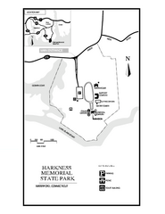
Harkness Memorial State Park map
Trail map of Harkness Memorial State Park in Connecticut.
128 miles away
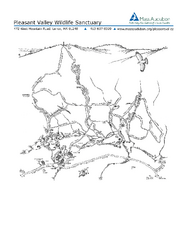
Pleasant Valley Wildlife Sanctuary Trail Map
Trail map of Pleasant Valley Wildlife Sanctuary
128 miles away
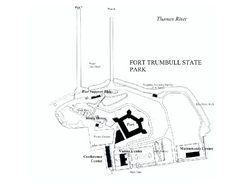
Fort Trumbull State Park map
Map of Fort Trumbull State Park in Connecticut.
130 miles away
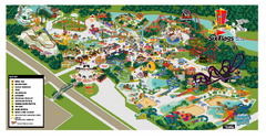
Six Flags New England Theme Park Map
Official Park Map of Six Flags New England in Massachusetts.
130 miles away
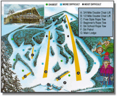
Bousquet Ski Area Ski Trail Map
Trail map from Bousquet Ski Area.
130 miles away
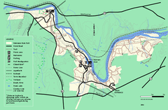
Robinson State Park trail map
Trail map of Robinson State Park in Massachusetts.
131 miles away
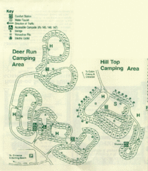
Gilbert Lake State Park Camping Map
132 miles away
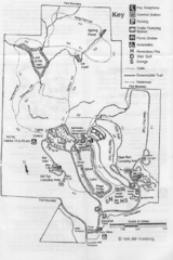
Gilbert Lake State Park Map
132 miles away
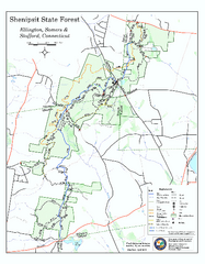
Trail map of Shenipsit State Forest
Trail map of Shenipsit State Forest in Connecticut.
132 miles away

1978 Bradford County, Pennsylvania Map
132 miles away
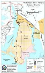
Bluff Point State Park map
Trail map for Bluff Point State Park and Coastal Reserve.
133 miles away
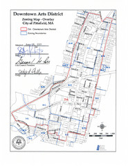
Pittsfield,, Massachusetts City Map
133 miles away
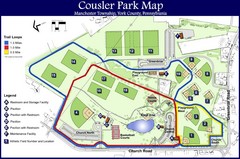
Cousler Park Map
133 miles away
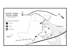
Haley Farm State Park map
Trail map of Haley Farm State Park in Connecticut.
134 miles away
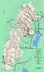
Pittsfield State Forest winter trail map
Winter use trail map of Pittsfield State Forest in Massachusetts.
134 miles away
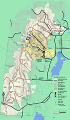
Pittsfield State Forest summer trail map
Summer use trail map of Pittsfield State Forest in Massachusetts.
134 miles away
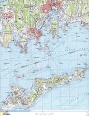
Fishers Island Map
In Long Island Sound
134 miles away
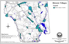
Historic Villages of Mansfield, Connecticut Map
Historical villages outlined on the map of the existing city.
135 miles away
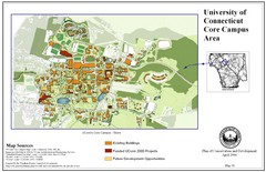
University of Connecticut Campus Map
Map shows current, funded projects and future development for UConn.
135 miles away
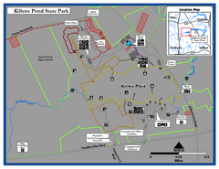
Killens Pond State Park Map
Map of Delaware State Park.
135 miles away
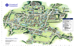
University of Connecticut - Storrs Campus Map
University of Connecticut - Storrs Campus Map. All areas shown.
136 miles away
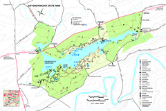
Gifford Pinchot State Park Map
Detailed map of Gifford Pinchot State Park in Pennsylvania.
136 miles away
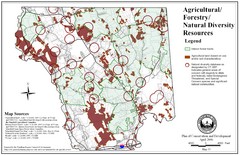
Mansfield Conservation and Development Map
Guide to Agricultural, Forestry and Natural Diversity Resources
136 miles away
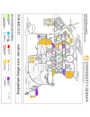
University at Albany Map
Campus Map of the University at Albany. All buildings shown.
136 miles away
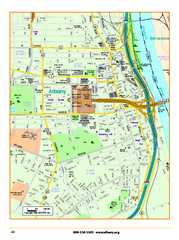
Albany downtown map
Road map of downtown Albany, NY. Shows city parks and New York State government buildings.
136 miles away

