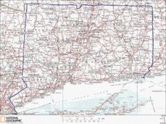
Connecticut State Parks Map
This is statewide map for Connecticut state parks. Go to the source website for detailed hiking...
112 miles away
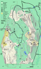
Mt. Washington State Forest trail map
Trail map of Mt. Washington State Forest
112 miles away
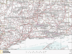
Connecticut Canoeing and Kayaking Lakes Map
A map of the lakes and ponds that are open for canoeing and kayaking in Connecticut. For detailed...
112 miles away
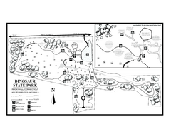
Dinosaur State Park map
Trail map of Dinosaur State Park in Connecticut.
112 miles away
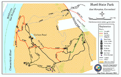
Hurd State Park trail map
Trail map for Hurd State Park in Connecticut.
113 miles away
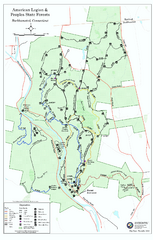
American Legion State Forest trail map
Trail map of American Legion and Peoples State Forests in Connecticut.
113 miles away
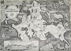
Shelter Island Map
Old Shelter Island map circa 1930s
113 miles away
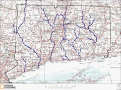
Connecticut Rivers and Coastal Paddling Map
This is a map of paddling areas for rivers and coastal kayaking. Follow the link below for...
114 miles away
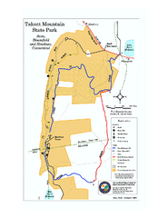
Talcott Mountain State Park map
Trail map of Talcott Mountain State Park in Connecticut.
114 miles away
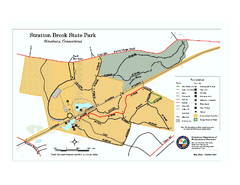
Stratton Brook State Park map
Trail map of Stratton Brook State Park in Connecticut.
114 miles away
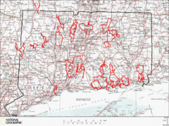
Connecticut Road Cycling Routes Map
A map of road cycling routes throughout Connecticut. Follow the link below for detailed route maps...
115 miles away
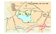
Memorial Lake State Park map
Detailed map of Memorial Lake State Park in Pennsylvania
115 miles away
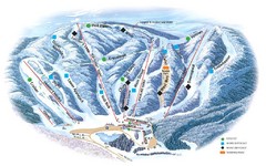
Butternut Ski Area Ski Trail Map
Trail map from Butternut Ski Area.
115 miles away
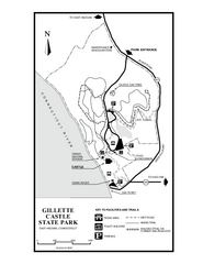
Gillette State Park trail map
Trail map of Gillette Castle State Park in Connecticut.
115 miles away
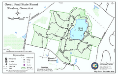
Great Pond State Park trail map
Trail map of Great Pond State Forest in Connecticut.
116 miles away

Wadsworth Athenium Museum Location Map
Wadsworth Athenium visitor location map with locations of major buildings, streets, parks, and...
116 miles away
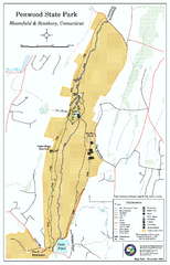
Penwood State Park map
Trail map of Penwood State Park in Connecticut.
116 miles away
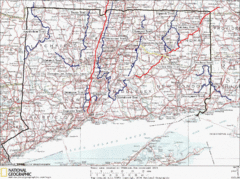
Connecticut Long Distance Trails Map
A map of long distance trails throughout Connecticut. Go to the website below for detailed trail...
116 miles away

Susquehannock State Park map
Detailed recreation map for Susquehannock State Park in Pennsylvania
117 miles away
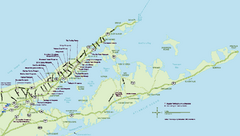
Long Island Wineries Map
Map of LIWC member wineries offering wine tastings to the public.
117 miles away
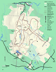
Beartown State Park Winter Map
Winter use map of Beartown State Park in Massachusetts
118 miles away
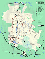
Beartown State Park Summer Map
Summer Map of Beartown State Park in Massachusetts.
119 miles away

Salmon River State Forest trail map
Trail map for Salmon River State Forest in Connecticut.
119 miles away
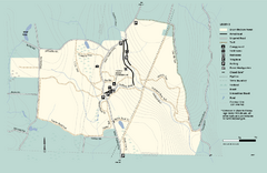
Granville State Forest trail map
Trail map of Granville State Forest in Massachusetts
120 miles away
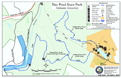
Daypond State Park map
Trail map for Day Pond State Park
120 miles away
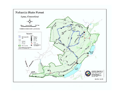
Nehantic State Forest map
Trail map of Nehantic State Forest in Connecticut.
120 miles away

Hershey Park Official Map
Official 2007 map of the Hershey Theme Park in Hershey, PA
120 miles away
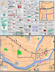
Binghampton Bus Route Map
120 miles away
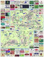
South County Berkshires map
Tourist map of Great Barrington, Housatonic, Sheffield, S. Egremont, N. Egremont Lenox, Stockbridge...
121 miles away
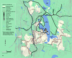
Tolland State Forest summer trail map
Summer use map for Tolland State Forest in Massachusetts.
121 miles away
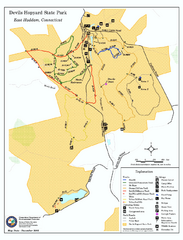
Devils Hophard State Park map
Trail and camprground map for Devils Hopyard State Park in Connecticut.
121 miles away
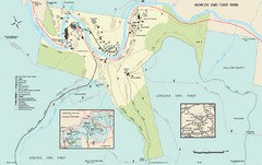
Worlds End State Park map
Detailed recreation map for Worlds End State Park in Pennsylvania
121 miles away
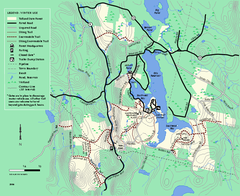
Tolland State Forest winter trail map
Winter usage trail map of the Tolland State Forest area in Massachusetts.
122 miles away
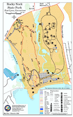
Rocky Neck State Park trail map
Trail map of Rocky Neck State Park in Connecticut.
122 miles away
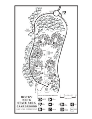
Rocky Neck State Park campground map
Campground map of Rocky Neck State Park in Connecticut.
122 miles away
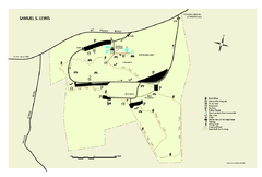
Samuel S. Lewis State Park map
Recreation map for Samuel Lewis State Park in Pennsylvania
122 miles away
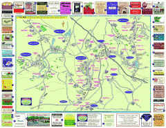
Columbia County - Austerlitz, Canaan, Chatham...
Tourist map of Columbia County including towns of Austerlitz, Canaan, Chatham, East Chatham Ghent...
122 miles away
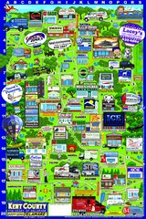
Kent County, Delaware Map
123 miles away

Dissolved Oxygen Concentrations and Trends Map
Delaware's Chesapeake Basin Dissolved Oxygen Concentrations and Trends showing increases and...
123 miles away


