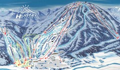
Hunter Mountain Trail Map
Ski trail map
100 miles away
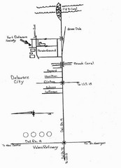
Delaware City Map
City map of Delaware City with Fort Delaware Society highlighted
101 miles away
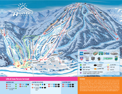
Hunter Mountain Ski Bowl Ski Trail Map
Trail map from Hunter Mountain Ski Bowl.
101 miles away
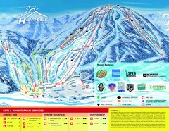
Hunter Mountain Trail Map
101 miles away
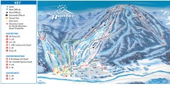
Hunter Mountain ski trail map
Official ski trail map of Hunter Mountain ski area from the 2006-2007 season.
101 miles away

University of Delaware Map
University of Delaware Campus Map. All buildings shown.
101 miles away
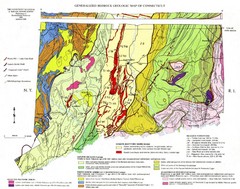
Connecticut Geologic Map
Geologic map of Connecticut bedrock. Shows shaded terranes, fault lines, and Mesozoic formations.
102 miles away
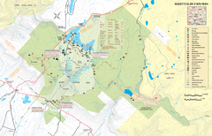
Ricketts Glen State Park map
Detailed recreation map of Ricketts Glen State Park in Pennsylvania
103 miles away
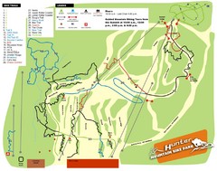
Hunter Mountain Bike Park Map
Map of bike trails in park
103 miles away
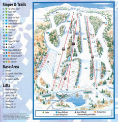
Powder Ridge Ski Area Ski Trail Map
Trail map from Powder Ridge Ski Area.
103 miles away
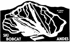
Bobcat Ski Center Ski Trail Map
Trail map from Bobcat Ski Center.
103 miles away
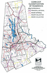
Connecticut Roadway Classification Map
103 miles away

Oriel College Map
104 miles away
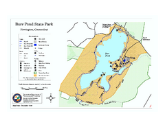
Burr Pond State Park map
Map of Burr Pond State Park in Connecticut.
105 miles away
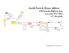
Amish Farm and House Route Map
Map showing directions to the Amish Farm and House with locations of key buildings and streets in...
105 miles away

Hammonasset Beach State Park campground map
Campground map of Hammonasset State Park in Connecticut.
105 miles away

Hammonasset Beach State Park map
Trail map for Hammonasset Beach State Park in Connecticut.
106 miles away
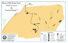
Dennis Hill State Park map
Trail map of Dennis Hill State Park in Connecticut.
106 miles away
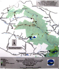
Northern Catskill Trail Map
Trail map shows hiking trails in the northern Catskills of New York. Shows trails in Windham High...
106 miles away
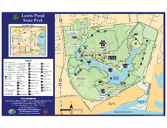
Lums Pond State Park Map
Clear legend and map of this wonderful state park.
106 miles away
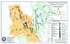
Chatfield Hollow State Park map
Trail map of Chatfield Hollow State Park
106 miles away
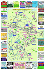
Columbia County - Boston Corners, Copake, Copake...
Tourist map of Columbia County, Mass. Includes towns of Boston Corners, Copake, Copake Falls...
107 miles away
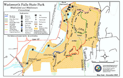
Wadsworth Falls State Park map
Trail map of Wadsworth Falls State Park in Connecticut.
107 miles away
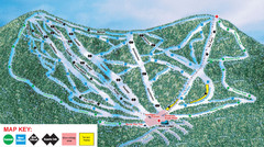
Ski Plattekill Ski Trail Map
Trail map from Ski Plattekill.
107 miles away
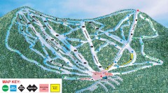
Plattekill Ski Trail Map
Official ski trail map of Plattekill ski area from the 2007-2008 season.
107 miles away
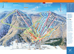
Windham Mountain Ski Trail Map
Trail map from Windham Mountain.
107 miles away
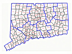
Connecticut Town Map
108 miles away
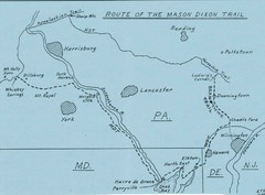
Mason Dixon Trail Map
Hand drawn map of the Mason-Dixon Trail. The 193 mile long Mason-Dixon Trail starts on the...
109 miles away
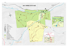
Salt Springs State Park map
Detailed recreation map of Salt Spring State Park in Pennsylvania.
109 miles away
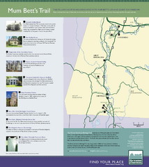
Mum Bett's Trail Map
Historic African American trail guide
109 miles away
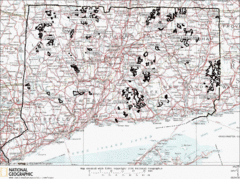
Connecticut State Forests Map
This is a map of all of the state forest boundaries in Connecticut. Follow the source web address...
109 miles away
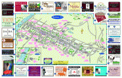
Hudson Tourist Map
Tourist map of Hudson, New York showing all tourist points of interest. Ads around border.
110 miles away
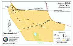
Cambell Falls State Park map
Trail map of Campbell Falls State Park Reserve in Connecticut
110 miles away
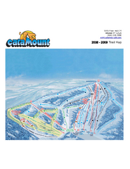
Catamount Ski Area Ski Trail Map
Trail map from Catamount Ski Area.
110 miles away
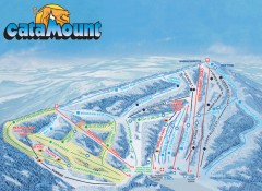
Catamount Ski Trail Map
Official ski trail map of Catamount ski area from the 2006-2007 season.
110 miles away
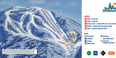
Ski Sundown Ski Trail Map
Trail map from Ski Sundown, which provides downhill and night skiing. It has 5 lifts servicing 15...
111 miles away

Cockaponset State Forest South Section trail map
Trail map for the South Section of Cockaponset State Forest in Connecticut.
111 miles away
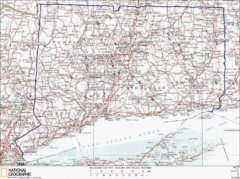
Connecticut Rock Climbing Locations Map
A map of most of the important rock climbing and bouldering areas in Connecticut. Click the link...
111 miles away

Cockaponset State Forest North Section trail map
Trail map for the north section of Cockaponset State Forest in Connecticut
112 miles away

