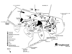
Tanglewood Map
Detailed map of the Tanglewood grounds that includes the location of the Box Office, Friends Office...
244 miles away
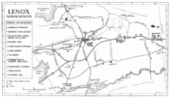
Lenox Town Map
Hand-drawn town map of Lenox, Mass. Bordered by Lenox Mountain and October Mountain. Shows points...
244 miles away
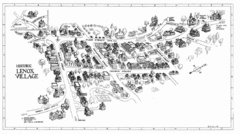
Lenox Village Map
Hand-drawn village map of historic center of Lenox, Massachusetts
244 miles away

Rattlesnake Point Trail Map
244 miles away
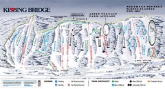
Kissing Bridge Ski Trail Map
Trail map from Kissing Bridge.
245 miles away
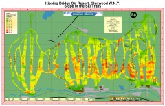
Kissing Bridge Ski Slope Map
Map of Kissing Bridge ski area; shows steepness of slopes with color-coding.
245 miles away
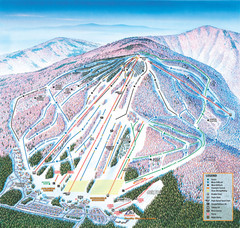
Cranmore Mountain Resort Ski Trail Map
Trail map from Cranmore Mountain Resort.
245 miles away
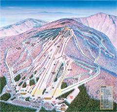
Cranmore Ski Trail Map
Official ski trail map of Cranmore Mountain ski area from the 2007-2008 season.
245 miles away
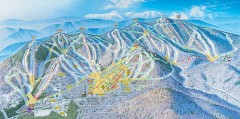
Sunday River Ski Trail map 2006-07
Official ski trail map of Sunday River ski area from the 2006-2007 season.
245 miles away
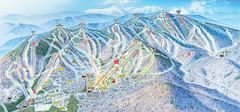
Sunday River Ski Resort Ski Trail Map
Trail map from Sunday River Ski Resort.
245 miles away
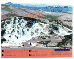
Temple Mountain Last year open—Credited to...
Trail map from Temple Mountain. This ski area opened in 1937.
246 miles away
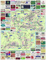
South County Berkshires map
Tourist map of Great Barrington, Housatonic, Sheffield, S. Egremont, N. Egremont Lenox, Stockbridge...
247 miles away
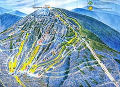
Sugarloaf Trail Map
Ski trail map of Sugarloaf mountain
247 miles away
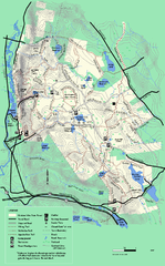
October Mountain State Forest trail map
Trail map of October Mountain State Forest in Massachusetts.
248 miles away
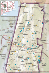
Berkshires Map
Overview map of the Berkshires region of Western Massachusetts
248 miles away
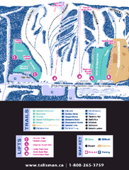
Talisman Mountain Resort Ski Trail Map
Trail map from Talisman Mountain Resort, which provides downhill skiing. This ski area has its own...
248 miles away
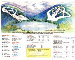
Mount Tone Ski Trail Map
Trail map from Mount Tone.
248 miles away
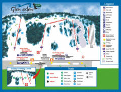
Glen Eden Ski Trail Map
Trail map from Glen Eden, which provides downhill skiing. This ski area has its own website.
248 miles away
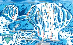
Beaver Valley Ski Trail Map
Trail map from Beaver Valley, which provides downhill skiing. This ski area has its own website.
249 miles away
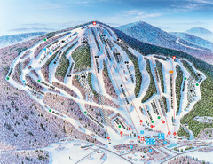
Pats Peak Ski Map
ski trail map of pats peak ski area
249 miles away

Hilton Falls Trail Map
Guide to Hilton Falls Conservation Area and Reservoir
249 miles away
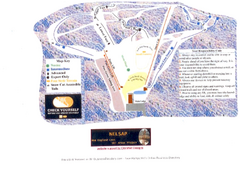
Arrowhead Arrowhead Ski Trail Map
Trail map from Arrowhead.
249 miles away
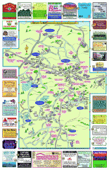
Columbia County - Boston Corners, Copake, Copake...
Tourist map of Columbia County, Mass. Includes towns of Boston Corners, Copake, Copake Falls...
250 miles away
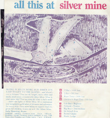
Silver Mine Credit to chris lundquist Ski Trail...
Trail map from Silver Mine, which provides downhill skiing.
250 miles away
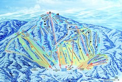
Gunstock Ski Area Ski Trail Map
Trail map from Gunstock Ski Area.
250 miles away
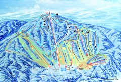
Gunstock Ski Trail Map
Ski trail map of Gunstock Mountain ski area
250 miles away
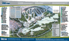
King Pine Ski Area Ski Trail Map
Trail map from King Pine Ski Area.
251 miles away
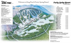
King Pine Ski trail Map
Official ski trail map of King Pine ski area from the 2006-2007 season.
251 miles away
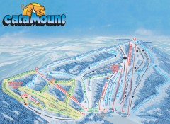
Catamount Ski Trail Map
Official ski trail map of Catamount ski area from the 2006-2007 season.
251 miles away
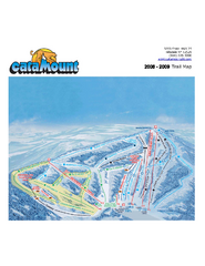
Catamount Ski Area Ski Trail Map
Trail map from Catamount Ski Area.
251 miles away
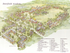
Deerfield Academy Campus Map
Shows buildings and facilities of Deerfield Academy. Scanned.
252 miles away
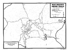
Mount Monadnock State Park Map
Official hiking map of the park. With its thousands of acres of protected highlands, 3,165-ft...
252 miles away

1978 Bradford County, Pennsylvania Map
252 miles away
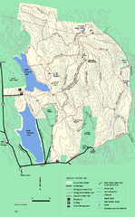
DAR State Forest winter map
Winter use map of the Daughters of the American Revolution State Forest.
252 miles away

1871 Southern Ontario District Map
Map of 1871 Districts
252 miles away
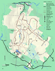
Beartown State Park Winter Map
Winter use map of Beartown State Park in Massachusetts
252 miles away
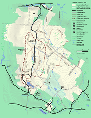
Beartown State Park Summer Map
Summer Map of Beartown State Park in Massachusetts.
252 miles away
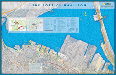
Port of Hamilton Map
Shows piers and tenants of Port of Hamilton, Ontario
252 miles away
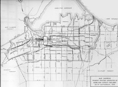
1959 Transit Routes of Hamilton Harbor Map
252 miles away
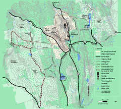
Mt. Grace State Forest trail map
Trail map of Mt. Grace State Forest near Warwick, Massachusetts.
252 miles away

