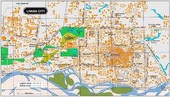
Lhasa City, Tibet Map
727 miles away
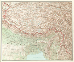
Tibet Region Physical Map
Physical map of Tibet region from the Communist China Map Folio, published by the US C.I.A. in 1967...
727 miles away

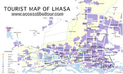
Lhasa Tourist Map
Shows major points of interest in city of Lhasa, Tibet.
727 miles away
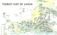
Lhasa Tourist Map
Places of interest. Government buildings.
727 miles away
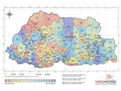
Bhutan population Map
729 miles away
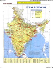
India Train Map
Map of Indian Railways. Includes full map of India, railway routes, cities, roads, and a list of...
734 miles away
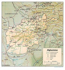
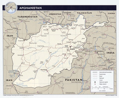
Afghanistan Map
Guide to Afghanistan and surrounds
736 miles away
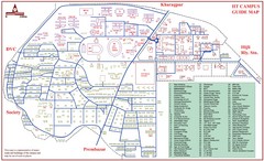
India Institute of Technology Campus Map
IIT Kharagpur Campus Guide Map
742 miles away
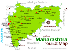
Maharahtra Tourist Map
743 miles away

Karjat Region Map
746 miles away
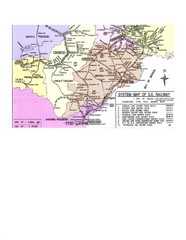
Orissa Railway Map
Map of Indian Railways in Orissa. Includes all railways, roads, and cities.
755 miles away

AFG Security & Poppy Cultivation 2008 Map
759 miles away
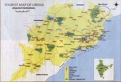
Orissa Tourist Map
761 miles away
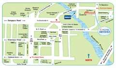
Nashik Tourist Map
769 miles away
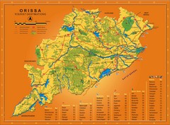
Orissa Map
Map of Orissa shows tourist destinations, wildlife refuges, beaches and waterfronts.
772 miles away
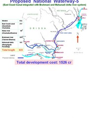
India Proposed National Waterway -5 Map
India inland waterways map showing the integration of the East Coast Canal with Brahmani and...
775 miles away
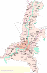
Kolkata City Map
City Map of Kolkata with railroad stops
776 miles away
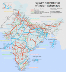
India Railway Schematic Map
India's main transportation system
777 miles away
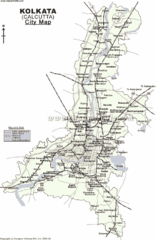
Kolkata City Map
777 miles away
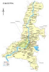
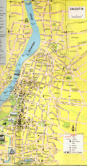
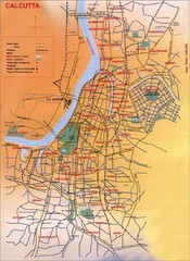
Calcutta Map
777 miles away
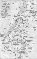
Kolkata Guide Map
777 miles away
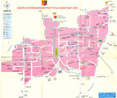
Kolkata Durgapuja Guide Map 2007
Durgapuja Festival Guide in Kolkata (Calcutta)
779 miles away
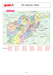
Afghanistan Provinces Map
Map of Afghanistan, with detail of province divisions
779 miles away
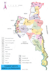
North Parganas Tourist Map
Tourist map of state of Parganas, India. Shows points of interest... including Central jail!
783 miles away

Bangladesh simplified geology Map
784 miles away
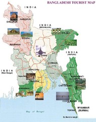
Bangladesh Tourist Map
786 miles away
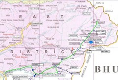
India Silk Road Map
793 miles away
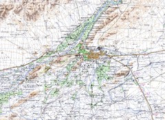
Kandahar Area Topo Map
Topo map of Kandahar, Afghanistan.
797 miles away
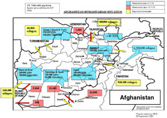
AFG Humanitarian Map
797 miles away

Bangladesh 1998 flood map
799 miles away
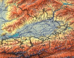
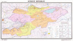
Kyrgyzstan Elevation Shaded Map
Kyrgyzstan Elevation Shaded - Note map is not in English
806 miles away

Bangladesh Agro Ecological zones Map
810 miles away

