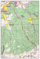
Simtokha-Talakha trail near Thimphu Map
Simtokha to Talakha trail
668 miles away
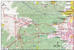
Dechenphodrang and Pajoding, Thimphu Map
Dechenphodrang to Pajoding, Tujedrag and Pumola monastaries
668 miles away
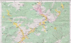
Old Map of Thimphu 1
669 miles away
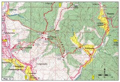
Trail from Yangchenphug HS to Thadranang and...
Yangchenphug high school to Thadranang, Oselpang near Hongtso
670 miles away
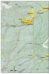
Thimphu Punakha trail Map
671 miles away
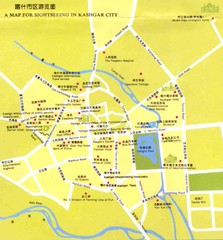
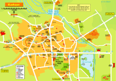
Kashgar, China Tourist Map
672 miles away
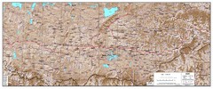
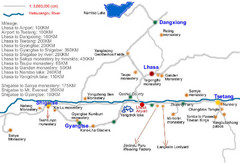
Central Tibet Map
Central Tibet map shows settlements, jeepable roads, rivers, and trails
673 miles away
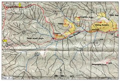
Dochula to Lungchuzekha Gonpa trail map 2
676 miles away
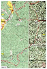
Dochula to Lungchuzekha Gonpa trail map 1
Dochula to Lungchuzekha Gonpa trail . Near Thmphu,Bhutan
678 miles away
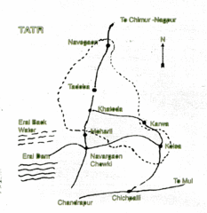
Tadoba National Park Map
Hand drawn map of Tadoba National Park, Chandrapur, India which is part of Tadoba -Andhari Tiger...
697 miles away
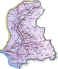
Sindh Guide Map
703 miles away
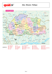
Bhutan Regional Map
Map of country with detail of regional divides
714 miles away
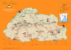
Bhutan Tourist map
Bhutan tourism map from the Bhutan Department of Tourism. Shows roads, trekking routes, campsites...
714 miles away
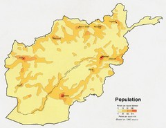
Afghanistan Population Map
715 miles away
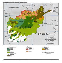
Afghanistan Entholinguistic Map
715 miles away
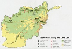
Afghanistan Economic and Land Use Tourist Map
715 miles away
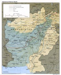
Afghanistan-Pakistan Border Map
715 miles away
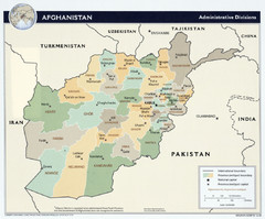
Afghanistan Tourist Map
715 miles away
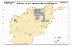
Afghanistan Shaded Relief Index Map
Index Map for the ASTER-Derived 30-Meter-Resolution Digital Elevation Models of Afghanistan.
715 miles away
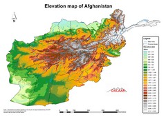
Afghanistan Elevation Map
Elevation map of Afghanistan
715 miles away
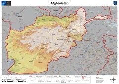
Afghanistan Map
Physical map of Afghanistan. Shows relief.
715 miles away

Kurigram District Map
717 miles away
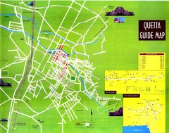
Quetta City Map
City map of Quetta, Pakistan. Shows major streets.
717 miles away
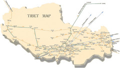
Tibet Transportation Map
Major train routes in Tibet.
722 miles away
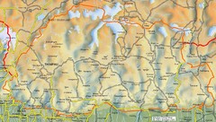
Bhutan road Map
724 miles away
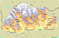
Bhutan Map
725 miles away
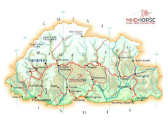
Bhutan physical Map
726 miles away
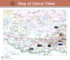
Central Tibet Map
726 miles away

Lhasa Tibet Tourist Map
Map of Lhasa, Tibet showing schools, hotels, places of interest and roads.
726 miles away
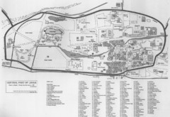
Lhasa Center Map
Map of central Lhasa from 1959. Drawn from the memory of Zasak J. Taring.
726 miles away

Tibet Province Map
727 miles away


