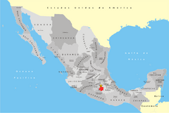
Mexico Map
A map of Mexico showing major roads, cities and state borders.
554 miles away
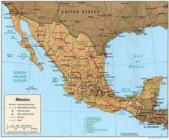
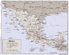
Mexico Relief Map
Mexico map shows states, roads, cities, railroads and borders.
554 miles away
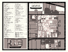
University of Memphis Map
Campus Map of the University of Memphis. All buildings shown.
554 miles away
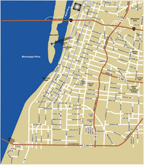
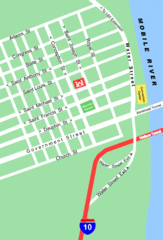
Downtown Memphis Map
554 miles away
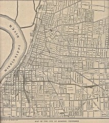
Antique map of Memphis from 1911
Antique map of Memphis, Tennessee from The New Encyclopedic Atlas and Gazetteer of the World. New...
555 miles away
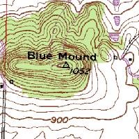
Mont Bleau Ski Trail Map
Trail map from Mont Bleau. This ski area opened in 1965/66.
556 miles away
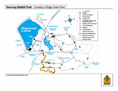
Dancing Rabbit Trail - Crowley's Ridge State...
Trail Map for Dancing Rabbit Trail in Crowley's Ridge State Park showing Walcott Lake, hiking...
557 miles away

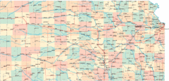
Kansas Map Circa 1910
558 miles away
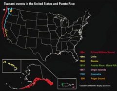
US Tsunami Events Map
Shows tsunami events in the US and Puerto Rico from 900 to 1964. Map not to scale. This map shows...
558 miles away
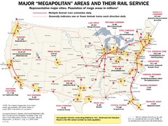
Amtrak Major Railway Map
Guide to major cities and rail lines connecting them
559 miles away
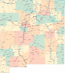
New Mexico Road Map
Detailed road map of New Mexico state
559 miles away
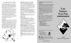
Lake Frierson State Park Map
Map of Lake Frierson State Park showing trails, boating and fishing areas and amenities.
560 miles away
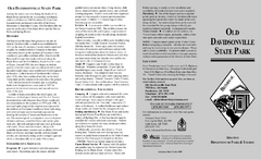
Old Davidsonville State Park Map
Map of Old Davidsonville State Park historical sites, amenites and other park sites.
563 miles away
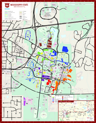
Mississippi State University Map
563 miles away
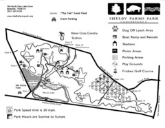
Shelby Farms Park Map
563 miles away
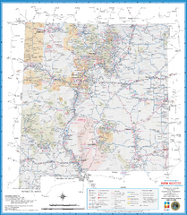
New Mexico Road Map
Detailed road map of state of New Mexico
565 miles away
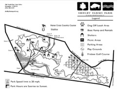
Shelby Farms Park Activities Areas Map
Visitor map of Shelby Farms Park. Shows parameters of dog areas, parking, play grounds, shelters...
565 miles away
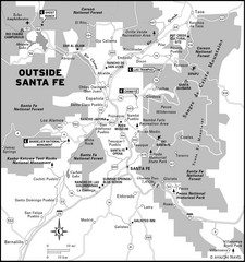
Surrounding Santa Fe, New Mexico Area Map
568 miles away
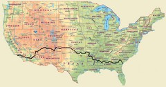
Cross Country Bike Route Map
A Map Of The Route taken by Lucas Hartman on his 6 week, 3,108.1 mile cross-country bike trip.
569 miles away

Dauphin Island Change Detection Map
571 miles away
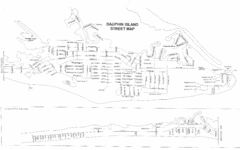
Dauphin Island Street Map
572 miles away
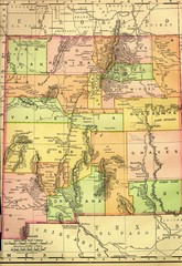
New Mexico 1895 Map
574 miles away
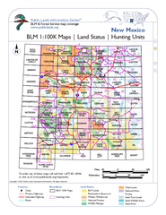
Index of BLM Maps for NM Hunting Units Map
This handy index shows the BLM surface management (land ownership) maps you need for all the...
574 miles away
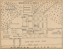
Antique map of Mobile from 1815
"Mobile in 1815" From Report on the Social Statistics of Cities, Compiled by George E...
575 miles away
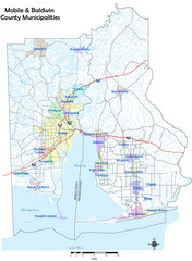
Mobile County Map
Clear map marking Mobile County and local area.
575 miles away

Mobile, Alabama City Map
575 miles away
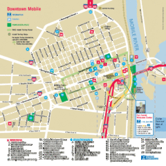
Mobile, Alabama Tourist Map
576 miles away
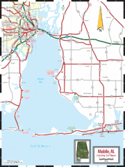
Mobile, Alabama Tourist Map
576 miles away
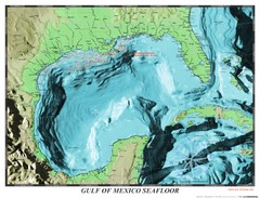
Gulf of Mexico sea floor Map
584 miles away
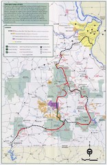
Ozark Trail Map
587 miles away
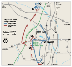
Tupelo National Battlefield Official Map
Official NPS map of Tupelo National Battlefield in Mississippi. Tupelo National Battlefield (NB...
589 miles away

Arkansas International Airport Map
592 miles away

Gulf Islands National Seashore Park Map
Official NPS map of the Gulf Islands National Seashore Park. Largest National Seashore in the US...
593 miles away
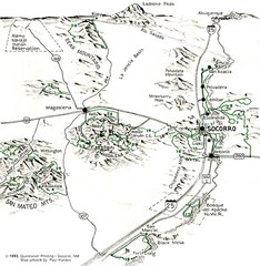
Socorro, New Mexico Guide Map
Trails and mountains map in and around Socorro, New Mexico
595 miles away
A MAD Pictorial Map of the United States - Front...
I found these raw assembled scans in a dieing torrent in 2010. Hash code...
598 miles away
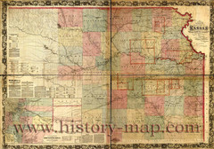
Kansas Railroad Map 1867
Here for your perusal is a sectional map of the state of Kansas showing the route of the Union...
599 miles away
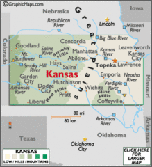
Kansas Elevations Map
599 miles away

