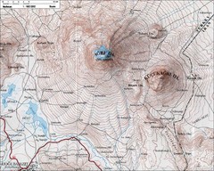
Mt. Ararat Topo Map
1139 miles away
Minsk Tourist Map
Tourist map of Minsk, Poland. In Polish.
1139 miles away
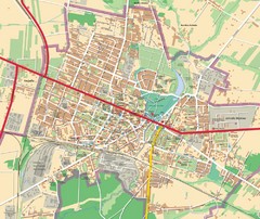
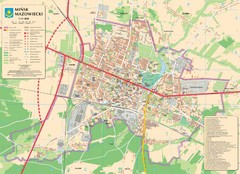
Mińsk Mazowiecki City Map
City map of Mińsk Mazowiecki, Poland
1139 miles away
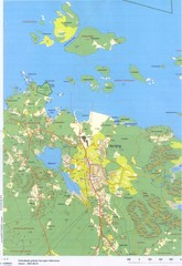
Herräng area map
Shows Herräng, Sweden and surrounding area
1146 miles away
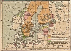
Historic map of Sweden in 1658
1146 miles away
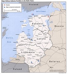
Major Defense Industries in the Baltic States Map
1146 miles away
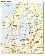
Balkan Sea States Map
1146 miles away
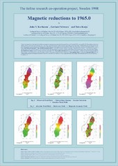
Magnetic Reductions to 1965.0 Map
Maps represent the total field magnetic anomalies of the Earth's lithosphere at the grid...
1146 miles away
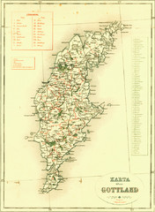
Gotland Island Map
Largest island in Sweden
1147 miles away
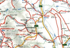
Bacau Map
1147 miles away
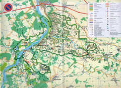
Kazimierski Landscape Park Map
Part of one of main ecological corridors in Europe enabling the birds to nest and migrate.
1149 miles away
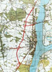
Serock Map
Town map of Serock, Poland. Not very much detail.
1150 miles away
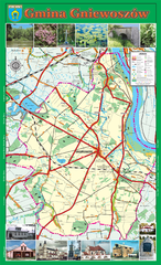
GNIEWOSZOW commune map, PL Map
Gniewoszow commune map Ed. 2007
1150 miles away
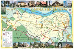
Sieciechow, Poland, Mazovia Map
Sieciechow commune map, Mazovia, PL
1151 miles away
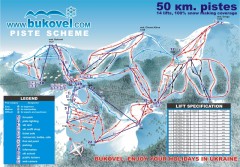
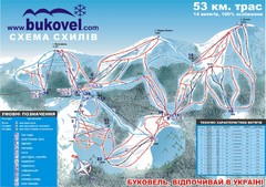
'Bukovel' Ski Resort Piste Map
Bukovel Ski Resort Piste Scheme. Near Yaremcha, Ukraine
1151 miles away
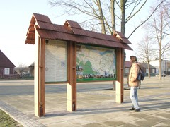
Sieciechow commune street map, PL Map
Sieciechow commune - street map Ed. 2007 Size 2000 x 1000 mm Type: administratie and touristic map
1151 miles away
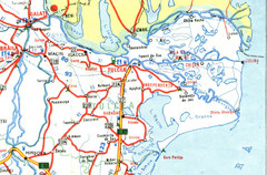
Tulcea Romania Road Map
Road Map of Tulcea, Romania showing major roads, cities and amenities.
1152 miles away
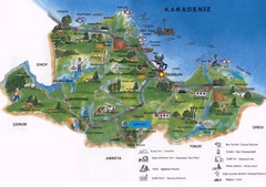
Samsun Tourist Map
Tourist map of Samsun, Turkey area on the Black Sea. Shows points of interest.
1153 miles away
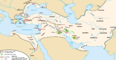
Achaemenid Empire Guide Map
1154 miles away
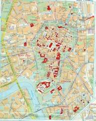
Staremiasto Map
Staremiasto City Map
1154 miles away
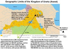
Urartu And Mount Ararat Map
Urartu Map showing Mt. Suleiman is not near Urartu.
1155 miles away
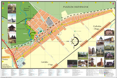
Garbatka_Letnisko_Poland.jpg Map
Map of Garbatka_Letnisko_Poland.jpg is a "city-village" plan. I do love to enter photos...
1157 miles away
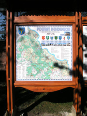
Kozienice_County_Poland_Streetmap.jpg Map
Street Map of Kozienice_County_Poland_Streetmap.jpg is added here because of the interesting wooden...
1157 miles away
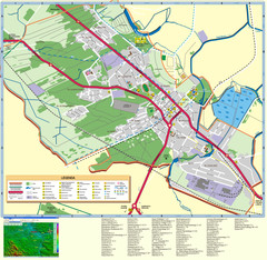
Kocienice_City_Plan-POLAND Map
Plan of City of Kozienice, PL
1157 miles away
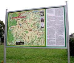
Policzna_Zwolen_Poland.jpg Map
Map of Policzna_Zwolen_Poland.jpg is another "all-proof" street map. 5 years on site...
1158 miles away
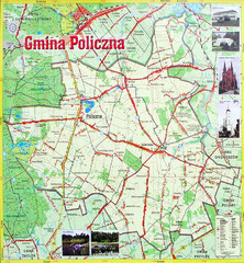
Policzna Commune Street Map
POLICZNA Commune, street map Ed. 2008 Size 2000 x 1250 mm Waterproof print-out verified for...
1158 miles away
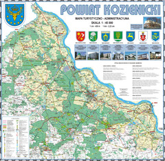
Kozienice_County_wall_map Map
Kozienice County big size wall map Covers all 7 communes: Kozienice, Garbatka-Letnisko, Grabow nad...
1158 miles away
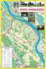
Magnuszew Commyne - Touristic map
Magnuszew commune - touristic, folded map.
1158 miles away
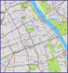
Warsaw City with Bus Routes Map
1159 miles away
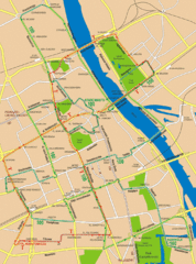
Central Warsaw Tourist Map
Warsaw, Poland Tourist Map showing roads, mass transit routes, and parks.
1159 miles away
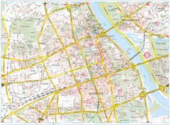
Warsaw Tourist Map
Tourist map of central Warsaw, Poland. Shows points of interest.
1159 miles away
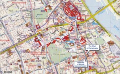
Warsaw Tourist Map
Tourist map of central Warsaw, Poland near University of Warsaw. Shows points of interest.
1159 miles away
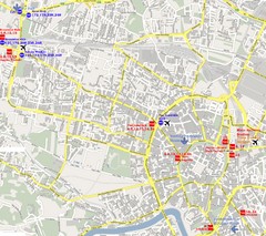
Warsaw, Poland Tourist Map
1160 miles away
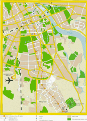
Warsaw, Poland Tourist Map
1160 miles away
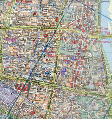
Warsaw, Poland Tourist Map
1160 miles away
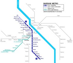
Warsaw Metro Map
1160 miles away
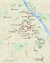
Warsaw Tourist Map
City map of Warsaw, Poland showing tourist sites, parks and major roads.
1160 miles away
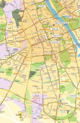
Warsaw University Map
Map of Warsaw University and surrounding area.
1160 miles away

