Berlin Tourist Map
1032 miles away
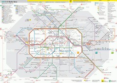
Berlin Transit Map
Guide to the S and U Bahn in Berlin
1032 miles away
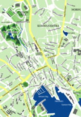
Downtown Torshavn Map
Street map of downtown Torshavn
1032 miles away
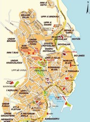
Torshavn city Map
1032 miles away
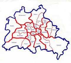
Berlin Bezirke Map
1032 miles away
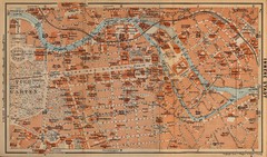
Berlin 1910 Map
1032 miles away
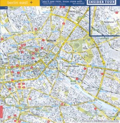
Berlin Street map - East
Street map of eastern Berlin, Germany.
1032 miles away
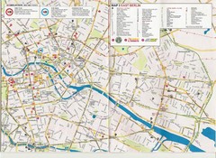
Berlin City Map
City map of Berlin with tourist information
1032 miles away

Berlin HBf Map
1032 miles away
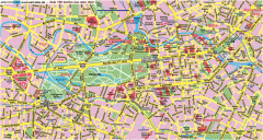
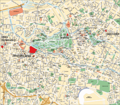
Central Berlin Street Map
Street map of central Berlin, Germany with some major building drawings. In German. Karte von...
1033 miles away
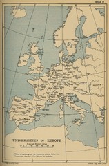
Universities of Europe Historical Map
1034 miles away
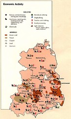
East Germany Economic Activity Map
Map of East Germany's economic activity
1034 miles away
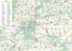
mapa rowerowa okolice leszna Map
1034 miles away
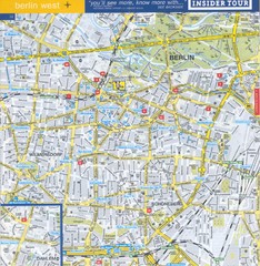
Berlin Street Map - West
Street map of western Berlin, Germany.
1035 miles away
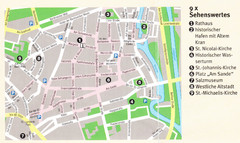
Luneburg Map
1036 miles away
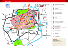
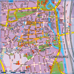
Luneburg Tourist Map
Tourist street map of Luneburg
1036 miles away
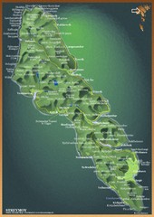
Streymoy Island Map
1037 miles away
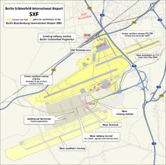
Berlin Schonefeld SXF Airport Map
1040 miles away
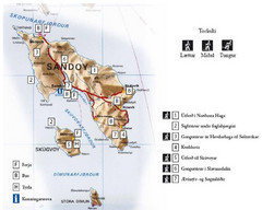
Sandoy Island Tourist Map
Tourist map of Sandoy, Faroe Islands. Shows ferry and bus stops and 7 hikes rated by difficulty
1040 miles away
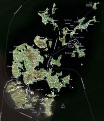
Orkney Islands Map
Guide to the Orkney Islands, northern most islands of the United Kingdom
1040 miles away
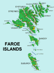
Faroe Islands Map
Overview map of the Faroe Islands.
1040 miles away
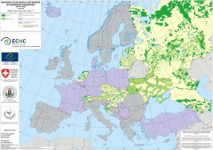
National Ecological Networks of European...
Shows core areas and ecological corridors in European countries with Ecological Network plans. By...
1042 miles away
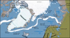
Arctic Ocean Map
Map of the Arctic Ocean. Shows the Arctic Circle
1042 miles away
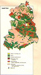
East Germany Land Use Map
Map of East Germany's land use
1043 miles away
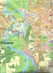
Rathenow Map
Street map of town of Rathenow
1043 miles away
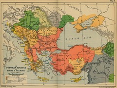
The Ottoman Advance of Europe and Asia Minor Map
1044 miles away
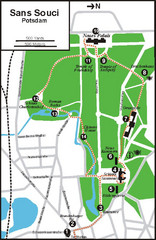
Potsdam Walking Tour Map
1045 miles away
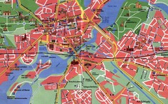
Potsdam Tourist Map
Tourist map of Potsdam
1045 miles away
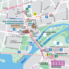
Potsdam City Center Map
Tourist map of Potsdam city center
1046 miles away
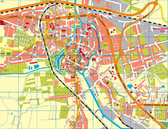
Salzwedel Map
Street map of Salzwedel
1048 miles away
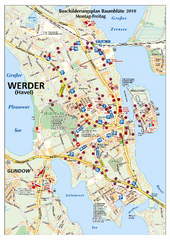
Werder (Havel) Tourist Map
Tourist map of Werder (Havel)
1048 miles away
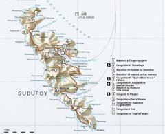
Suðuroy Tourist Map
Tourist map of Suduroy, Faroe Islands.
1051 miles away
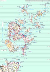
Orkney Map
Road map of the Orkney Islands, UK
1051 miles away
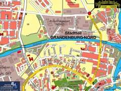
Brandenburg an der Havel Map
Street map of Brandenburg an der Havel center
1053 miles away
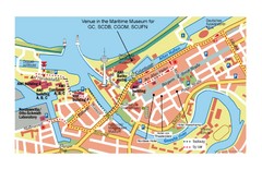
Bremerhaven City Map
City map of central Bremerhaven, Germany. Alfred Wegener Institute for Polar and Marine Research...
1053 miles away
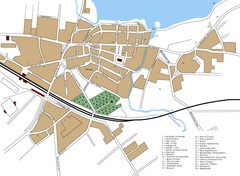
Woldenberg Map
Street map of city of Woldenberg
1053 miles away
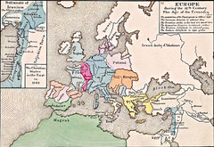
Old Map of Europe - 12th century
1056 miles away

