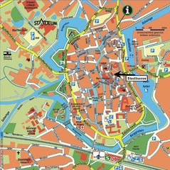
Opfer des Nationalsozialismus in Dithmarschen Map
1008 miles away
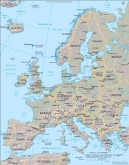
Europe Physical Map
1009 miles away
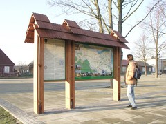
Sieciechow commune street map, PL Map
Sieciechow commune - street map Ed. 2007 Size 2000 x 1000 mm Type: administratie and touristic map
1009 miles away
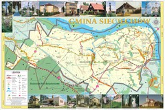
Sieciechow, Poland, Mazovia Map
Sieciechow commune map, Mazovia, PL
1009 miles away
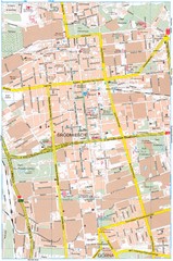
Lódź Tourist Map
Tourist map of central Lódź, Poland. Shows points of interest.
1010 miles away
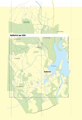
Naßlettel Map
1012 miles away
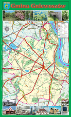
GNIEWOSZOW commune map, PL Map
Gniewoszow commune map Ed. 2007
1013 miles away
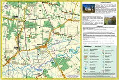
Bartodzieje_Village_Jastrzebia_Poland_streetmap...
Map of Bartodzieje_Village_Jastrzebia_Poland_streetmap.pdf is a street informative map of dimension...
1014 miles away
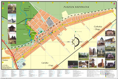
Garbatka_Letnisko_Poland.jpg Map
Map of Garbatka_Letnisko_Poland.jpg is a "city-village" plan. I do love to enter photos...
1014 miles away
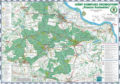
PuszczaKozienicka tourist map
LKP - Lesny Kompleks Promocyjny - PuszczaKozienicka - tourist map Ed. 2010 Projection: UTM/WGS84...
1015 miles away
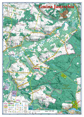
Jastrzebia commune 3D Map
Jastrzebia commune - 3D map Ed. 2010 Projection UTM/WGS84 Scale 1:25 000 Mede with extensive use...
1016 miles away
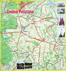
Policzna Commune Street Map
POLICZNA Commune, street map Ed. 2008 Size 2000 x 1250 mm Waterproof print-out verified for...
1016 miles away
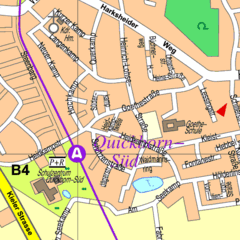
Quickborn Center Map
Street map of Quickborn town center
1016 miles away
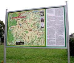
Policzna_Zwolen_Poland.jpg Map
Map of Policzna_Zwolen_Poland.jpg is another "all-proof" street map. 5 years on site...
1016 miles away
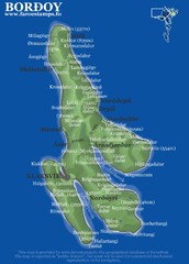
Bordoy island Map
1018 miles away
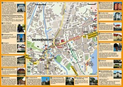
Oranienburg Tourist Map
Tourist street map of Oranienburg
1020 miles away
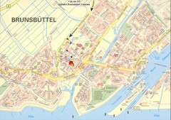
Brunsbüttel Map
Street map of Brunsbüttel and surrounding region
1020 miles away
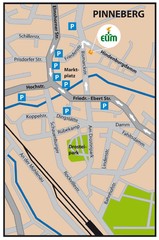
Pinneberg Center Map
Map of Pinneberg town center
1022 miles away
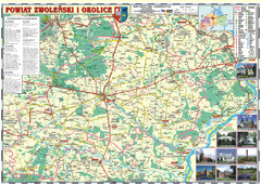
Zwolen_county_folded_map_POLAND Map
Zwolen county, paper folded map Scale 1: 70 000 Projection UTM/WGS84, GPS compatibile verified...
1023 miles away
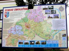
Zwolen county street map
Zwolen county - street map Big size 200 x 300 cm waterproof map
1023 miles away
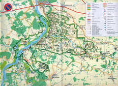
Kazimierski Landscape Park Map
Part of one of main ecological corridors in Europe enabling the birds to nest and migrate.
1023 miles away
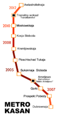
Kazan Metro Map
Simple map marking future stops on the Kazan metro.
1024 miles away
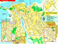
Kazan City Map
Simple map marking streets and roads.
1024 miles away
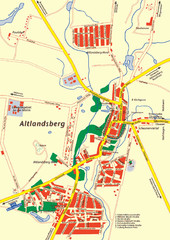
Altlandsberg Map
Map of town of Altlandsberg
1024 miles away
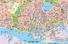
Hamburg Street Map
Street map of central Hamburg, Germany. Shows many canals.
1025 miles away
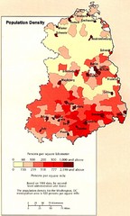
Eastern Germany Population Density Map
Map of Eastern Germany's population density
1026 miles away
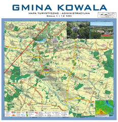
Kowala Commune - near Radom, PL Map
Kowala-Stepocina Commune - the administrative and touristic wall map, scala 1:12500, with 3D effect...
1026 miles away
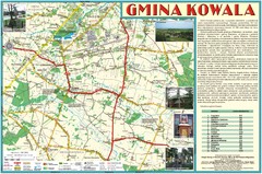
Kowala_Mazovia_poland.jpg Map
Map of Kowala_Mazovia_poland.jpg is a Kowala commune map, created with use of GlobalMapper and...
1028 miles away
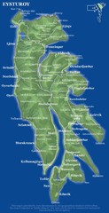
Eysturoy island Map
1029 miles away
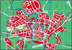
Otterndorf Map
Street map of Otterndorf
1030 miles away
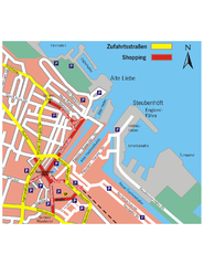
Cuxhaven Center Tourist Map
Tourist map of Cuxhaven center
1030 miles away
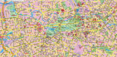
Berlin Center Map
1032 miles away
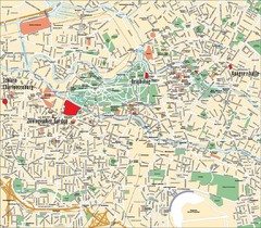
Berlin Tourist Map
Landmarks, neighborhoods and areas of Berlin
1032 miles away
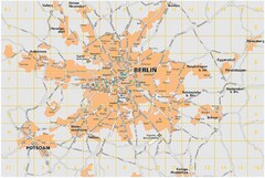
Berlin City Map
City map of Berlin Metropolitan area
1032 miles away
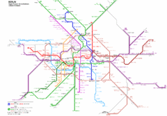
Berlin Rapid Transit Map
1032 miles away
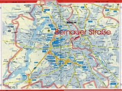
Berlin Tourist Map
1032 miles away
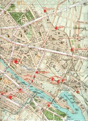
Berlin Tourist Map
1032 miles away
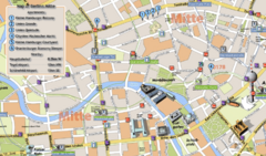
Berlin Tourist Map
1032 miles away
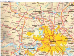
Berlin Tourist Map
1032 miles away

