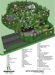
Ranua Wildlife Park Map
Adults and children of all ages are welcome to enjoy the experiences offered by Ranua Wildlife Park...
0 miles away
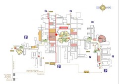
University of Oulu Campus Map
Campus map for University of Oulu, Finland including bus routes to campus.
68 miles away
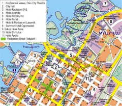
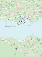
Oulu Tourist Map
Tourist map of center of Oulu, Finland. Largest city in northern Finland. Shows all hotels.
70 miles away
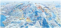
Ruka Ski Trail Map
Ski trail map of Ruka, Finland
76 miles away
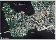
Lulea Center Aerial Map
Aerial map of city center of Lulea, Sweden. Annotated with points of interest.
126 miles away
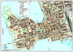
Lulea City Map
City map of center of Luleå, Sweden. Shows building outlines and points of interest.
126 miles away
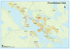
Lulea Overview Map
Overview map of the Lulea, Sweden area.
126 miles away
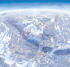
Levi Ski Trail Map
Ski trail map of Levi ski area in Levi, Finland.
136 miles away
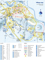
Levi Ski Trail and Village Map
Winter ski trail and village map of Levi ski area in Levi, Finland.
136 miles away
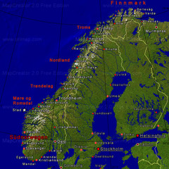
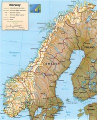
Norwegen Map
140 miles away
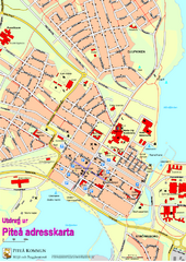
Pitea City Map
City map of center of Piteå, Sweden. Shows major building and points of interest.
150 miles away
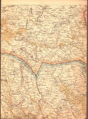
Finland Railway Map
Important landmarks in Eastern Finland
177 miles away
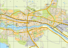
Skellefteå City Map
City map of central Skellefteå, Sweden
180 miles away
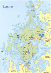
Larsmo Tourist Map
187 miles away
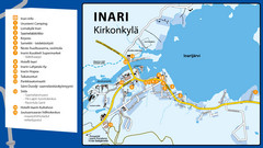
Inari Tourist Map
Tourist map of Inari, Finland. Shows hotels.
206 miles away
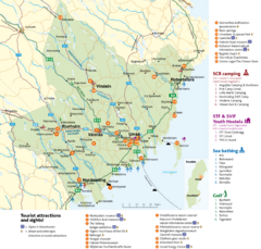
Umea Area Tourist Map
Regional map of Umeå, Sweden. Shows tourist attractions, camping, youth hostels, sea bathing...
234 miles away
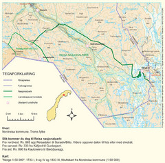
Reisa National Park Map
Overview map of Reisa National Park, Norway on the border with Sweden.
261 miles away
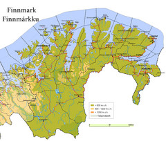
Finnmark County Map
Elevation map of Finnmark County, Norway. Color shading shows meters above sea level and national...
272 miles away
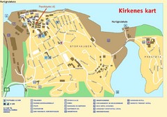
Kirkenes City Map
City map of Kirkenes with tourist information and hotels
278 miles away
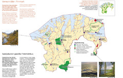
Finnmark Nature Parks and Reserves Map
National parks and nature reserves of Norwegian county of Finnmark. From wikipedia: "In the...
281 miles away
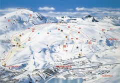
Riksgränsen Ski Trail Map
Trail map from Riksgränsen, which provides downhill skiing. This ski area has its own website.
283 miles away
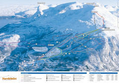
Narvik Ski Trail Map
Trail map from Narvik, which provides downhill skiing.
297 miles away
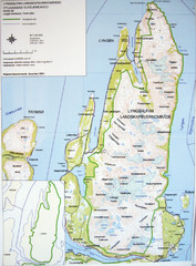
Lyngen Peninsula Map
Topo map of the northern Lyngen Peninsula near Tromso, Norway. Shows peaks. From photo.
312 miles away
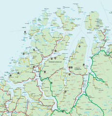
Tromso Lyngen Region Overview Map
Reference map of Tromso, Norway region above the Arctic Circle. Shows roads and major ferry routes.
314 miles away
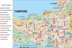
Tampere Hotel Map
318 miles away
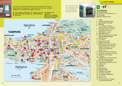
Tampere Tourist Map
Tourist map of Tampere, Finland. Shows 32 points of interest
318 miles away
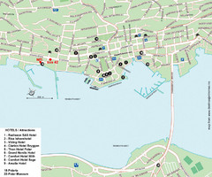
Tromso Tourist Map
Tourist map of central Tromso, Norway showing all hotels.
324 miles away
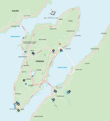
Tromso Overview Map
Overview map of Tromso, Norway island. Shows major roads and streets.
325 miles away
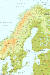
Sweden Physical Map
Map of Sweden and surrounding countries. Shows shaded relief
329 miles away

Saimaa Finalnd Map
Map of Lake Saimaa and surrounding area with roads and cities.
330 miles away
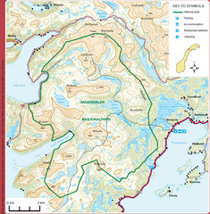
Anderdalen National Park Map
Topo map of Anderdalen National Park on Berg Senja, Norway
333 miles away
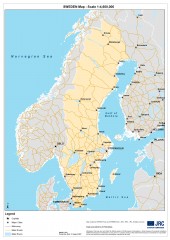
Sweden Map
Map of Sweden showing major cities and roads
362 miles away
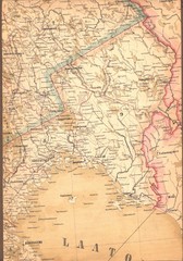
Finland Map
399 miles away
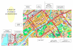
Turku City Map
City map of downtown Turku, Finland. Some hotels and transportation info highlighted.
401 miles away
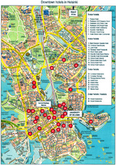
Helsinki, Finland Tourist Map
401 miles away
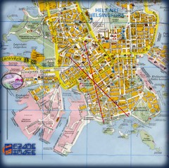
Helsinki, Finland Tourist Map
401 miles away
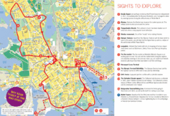
Helsinki Bus Tour Map
401 miles away


