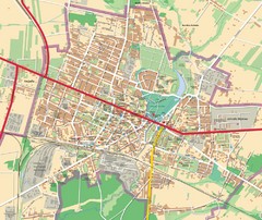
Mińsk Mazowiecki City Map
City map of Mińsk Mazowiecki, Poland
1622 miles away
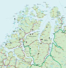
Tromso Lyngen Region Overview Map
Reference map of Tromso, Norway region above the Arctic Circle. Shows roads and major ferry routes.
1625 miles away
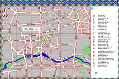
Isfahan Iran Tourist Map
This colored tourist map details tourist sites within the city of Isfahan, Iran.
1626 miles away
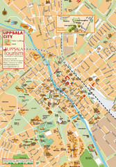
Uppsala Tourist Map
Tourist map of central Uppsala, Sweden. Shows public buildings, hotels, and other points of...
1626 miles away
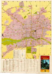
Isfahan Esfahan Map
Click to Enlarge Map of Isfahan
1627 miles away
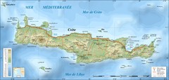
map of Crete
Royal Rent a Car Crete & Rent a Bike Crete offers professional car hire crete services, with...
1628 miles away
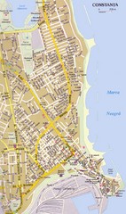
Constanta Tourist Map
Tourist map of central Constanţa, Romania. Shows points of interest.
1630 miles away
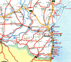
Constanta Tourist Map
1630 miles away
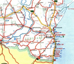
Constanta Map
1632 miles away
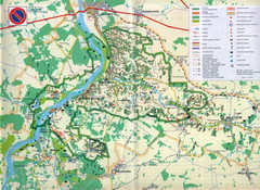
Kazimierski Landscape Park Map
Part of one of main ecological corridors in Europe enabling the birds to nest and migrate.
1632 miles away
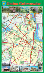
GNIEWOSZOW commune map, PL Map
Gniewoszow commune map Ed. 2007
1633 miles away
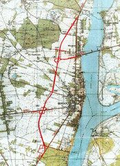
Serock Map
Town map of Serock, Poland. Not very much detail.
1633 miles away
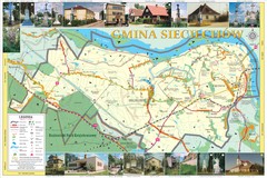
Sieciechow, Poland, Mazovia Map
Sieciechow commune map, Mazovia, PL
1634 miles away
Sieciechow commune street map, PL Map
Sieciechow commune - street map Ed. 2007 Size 2000 x 1000 mm Type: administratie and touristic map
1634 miles away
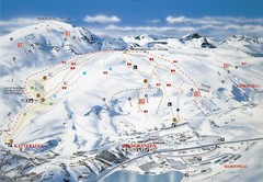
Riksgränsen Ski Trail Map
Trail map from Riksgränsen, which provides downhill skiing. This ski area has its own website.
1634 miles away
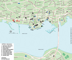
Tromso Tourist Map
Tourist map of central Tromso, Norway showing all hotels.
1634 miles away
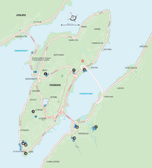
Tromso Overview Map
Overview map of Tromso, Norway island. Shows major roads and streets.
1634 miles away
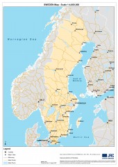
Sweden Map
Map of Sweden showing major cities and roads
1637 miles away
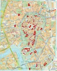
Staremiasto Map
Staremiasto City Map
1637 miles away
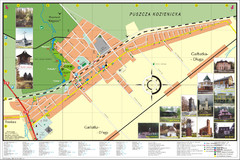
Garbatka_Letnisko_Poland.jpg Map
Map of Garbatka_Letnisko_Poland.jpg is a "city-village" plan. I do love to enter photos...
1640 miles away
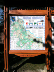
Kozienice_County_Poland_Streetmap.jpg Map
Street Map of Kozienice_County_Poland_Streetmap.jpg is added here because of the interesting wooden...
1640 miles away
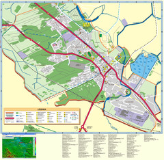
Kocienice_City_Plan-POLAND Map
Plan of City of Kozienice, PL
1640 miles away
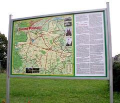
Policzna_Zwolen_Poland.jpg Map
Map of Policzna_Zwolen_Poland.jpg is another "all-proof" street map. 5 years on site...
1640 miles away
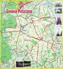
Policzna Commune Street Map
POLICZNA Commune, street map Ed. 2008 Size 2000 x 1250 mm Waterproof print-out verified for...
1641 miles away
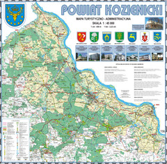
Kozienice_County_wall_map Map
Kozienice County big size wall map Covers all 7 communes: Kozienice, Garbatka-Letnisko, Grabow nad...
1641 miles away
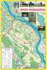
Magnuszew Commyne - Touristic map
Magnuszew commune - touristic, folded map.
1641 miles away
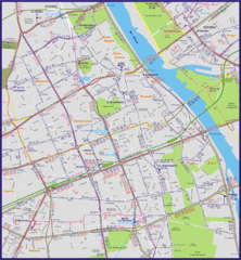
Warsaw City with Bus Routes Map
1642 miles away
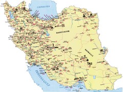
Iran Map
1642 miles away
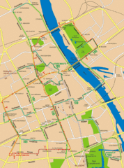
Central Warsaw Tourist Map
Warsaw, Poland Tourist Map showing roads, mass transit routes, and parks.
1642 miles away
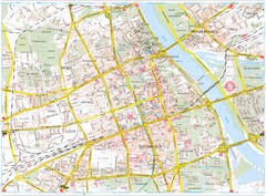
Warsaw Tourist Map
Tourist map of central Warsaw, Poland. Shows points of interest.
1642 miles away
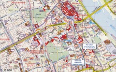
Warsaw Tourist Map
Tourist map of central Warsaw, Poland near University of Warsaw. Shows points of interest.
1643 miles away
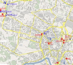
Warsaw, Poland Tourist Map
1643 miles away
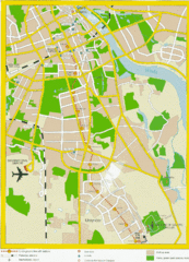
Warsaw, Poland Tourist Map
1643 miles away
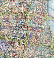
Warsaw, Poland Tourist Map
1643 miles away
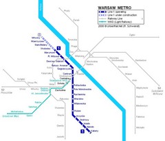
Warsaw Metro Map
1643 miles away
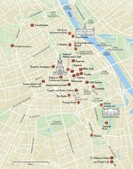
Warsaw Tourist Map
City map of Warsaw, Poland showing tourist sites, parks and major roads.
1643 miles away
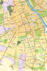
Warsaw University Map
Map of Warsaw University and surrounding area.
1643 miles away
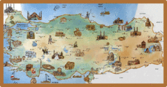
Cartoonish map of Turkey
1644 miles away
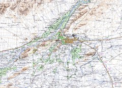
Kandahar Area Topo Map
Topo map of Kandahar, Afghanistan.
1644 miles away

