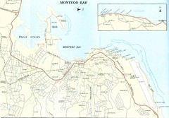
Montego Bay road Map
3699 miles away
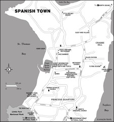
Spanish Town BVI Map
3700 miles away
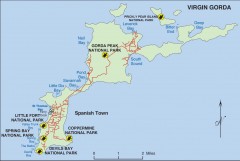
Map of Virgin Gorda
Map of Virgin Gorda in the British Virgin Islands. Shows national parks.
3701 miles away
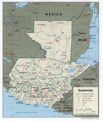
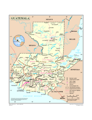
Guatemala Tourist Map
3701 miles away

Guatemala Cities and Town Topo Map
Topography map of cities and towns in Guatemal by Center for Integration of Natural Disaster...
3701 miles away
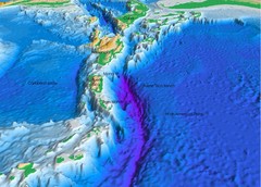
Atlantic Trench Bathymetric Map
3703 miles away
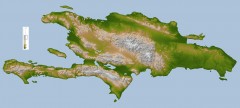
Hispaniola Topo Map
Satellite image of Hispaniola (Haiti and the Dominican Republic) color-coded by elevation.
3703 miles away
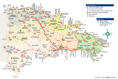
Dominican Republic Tourist Map
Overview tourist map of the Dominican Republic
3703 miles away
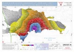
Rainfall Accumulation from Tropical Storm Noel...
From UNOSAT: "This map presents the estimated rainfall accumulation from Tropical Storm...
3707 miles away
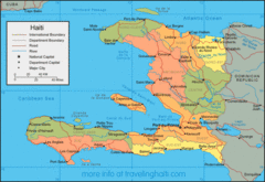
Haiti Map
Map of Haiti with detail of main districts and cities
3708 miles away

Haiti Map
3708 miles away
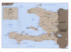
Haiti Tourist Map
3708 miles away
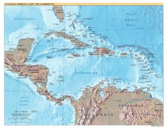
Central America Map
3710 miles away
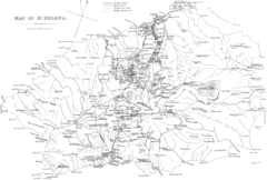
St Helena Historical Map
Map of St Helena by Fowler
3711 miles away
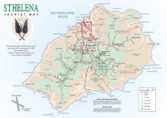
St. Helena Tourist Map
Tourist map of the remote island of St. Helena. Shows details of key locations, routes and...
3711 miles away
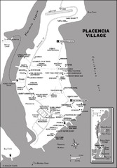
Placencia village Map
3712 miles away

Map of Anegada
Map of Anegada island of the British Virgin Islands.
3720 miles away
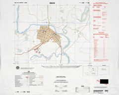
Hinche, Haiti Tourist Map
3720 miles away

Haiti and Jamaica Map
Detailed Map of Hispaniola and Jamaica. Colored in outline. Shows Jamaica Railway
3726 miles away
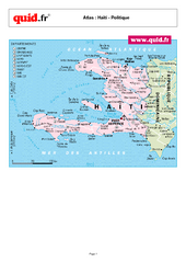
Haiti Regional Map
Country map with detail of regional divides
3726 miles away
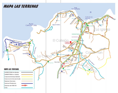
Las Terranas Map
Street map of Las Terranas, Dominican Republic.
3733 miles away
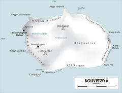
Bouvet Island Map
Map of Bouvet Island in the Southern Atlantic Ocean. Shows peaks and meteorological station.
3734 miles away

Caribbean Islands Map
Includes general maps of Caribbean, St. Vincent, St. Lucia, Guadeloupe, Cuba, Southern Florida...
3745 miles away
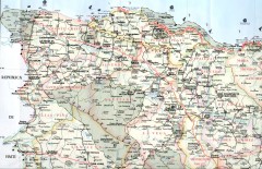
Dominican Republic North Region Road Map
Road map of the northwestern region of the Dominican Republic. Scanned.
3751 miles away
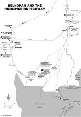
Belmopan and the Hummingbird highway Map
3755 miles away
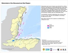
Watersheds of the Mesoamerican Reef Region Map
Map of watersheds or basins on map without elevation data
3755 miles away

Turneffe Islands atoll Map
3756 miles away
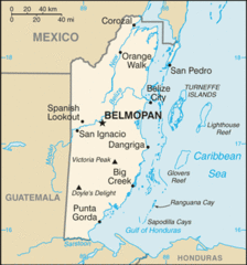
Belize Peaks and Rivers Map
3758 miles away
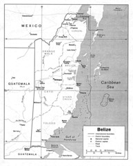
Belize (Political) U.S. Department of State 1990...
3758 miles away
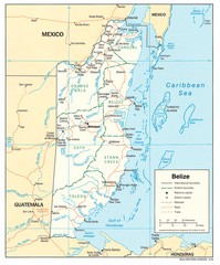
Belize Tourist Map
3758 miles away
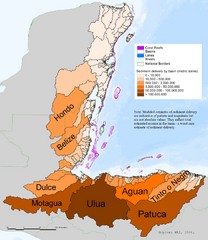
Annual Sediment Delivery from MAR Watersheds Map
This map shows which basins (or watersheds) deliver the most sediment on an annual basis to the...
3758 miles away
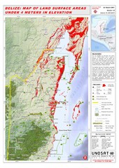
Belize Land Surface Areas Under 4 Meters Map
This map shows elevation areas in Belize under 4 meters in Red. This was the limit for the storm...
3758 miles away
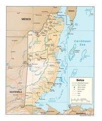
Belize Map
Map of Belize showing cities, rivers and district boundaries.
3759 miles away
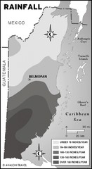
Belize rainfall Map
3761 miles away
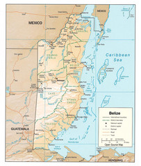
Belize Guide Map
3762 miles away
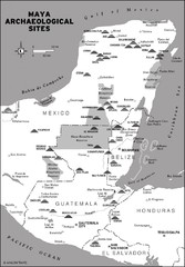
Mayan Archaeological sites in Belize Map
3762 miles away
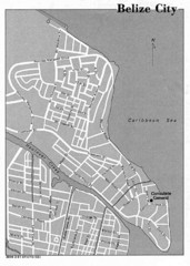
Belize City - U.S. Department of State, 1981 Map
3772 miles away
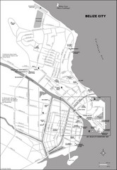
Belize City map
Detailed map of the Belize City road system.
3772 miles away
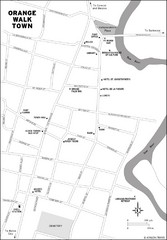
Orange Walk Town Map
View This Map
3774 miles away

