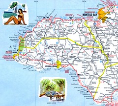
Western Jamaica road Map
3682 miles away
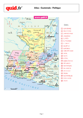
Guatemala Regional Map
Country map with detail of regional divides
3682 miles away
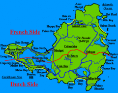
St. Maarten Beach Tourist Map
3683 miles away
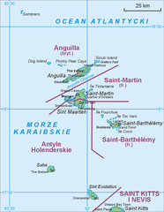
Saint Martin Map
3685 miles away
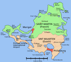
Saint Martin Map
Overview map shows entire island of Saint Martin (French) or Sint Maarten (Dutch).
3686 miles away
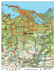
San Juan Road Map
Road map of San Juan, Puerto Rico area. Shows shaded elevation.
3686 miles away
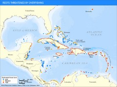
Caribbean Threatened Reef Map
Shows reefs threatened by overfishing in the Caribbean.
3687 miles away
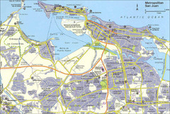
San Juan City Map
City Map of San Juan with information
3687 miles away
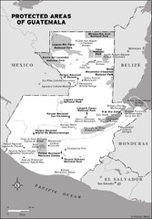
Protected areas of Guatemala Map
3688 miles away

Ocho Rios rod Map
3688 miles away

Negril tourist map (updated April 2008)
3688 miles away
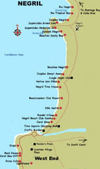
Negril Coastal Map
Coastal map of this Jamaican town.
3688 miles away
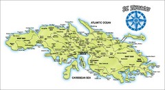
St. Thomas Island Map
Overview road map of island of St. Thomas in the U.S. Virgin Islands. Shows major roads, districts...
3688 miles away
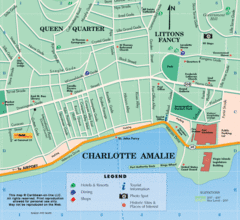
Charlotte Amalie U.S. Virgin Islands Map
3688 miles away
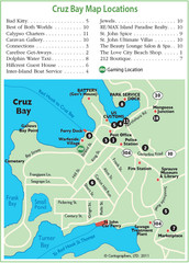
Cruz Bay St. John Map
3689 miles away
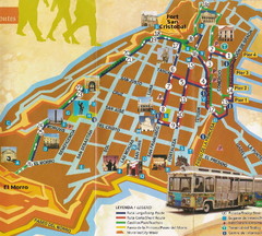
Old Town San Juan and El Morro Map
3689 miles away
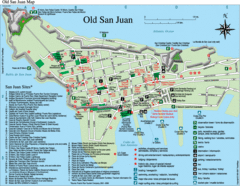
Old San Juan Tourist Map
City tourist map
3689 miles away
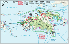
Virgin Islands National Park Map
Official NPS map of Virgin Islands National Park in the Virgin Islands. Map shows main island and...
3689 miles away
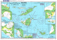
Anguilla St. Martin St. Barthelemy Nautical Map
Nautical map of Anguilla St. Martin St. Barthelemy. Shows insets of major ports.
3690 miles away
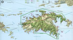
Virgin Islands National Park Tourist Map
3690 miles away
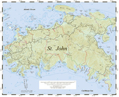
St. John Trail Map
Topographical trail map of St. John in the US Virgin Islands.
3690 miles away
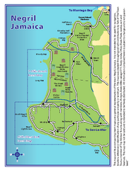
Negril Tourist and Beach Maps Map
Tourist maps and beach maps of Negril, Jamaica. Includes overview map, Negril 7-mile Beach map...
3691 miles away
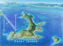
Peter Island BVI Map
3692 miles away
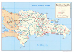
Dominican Republic Tourist Map
3692 miles away
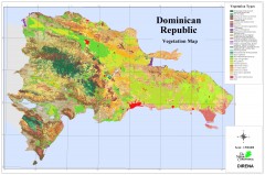
Dominican Republic Vegetation Map
Shows vegetation of Dominican Republic, 1:500,000 scale
3692 miles away
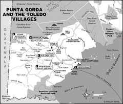
Punta Gorda and the Toledo villages Map
3693 miles away
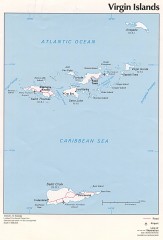
Map of the Virgin Islands
Map of the Virgin Islands
3694 miles away
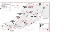
West Tortola Driving Tour Map
3695 miles away
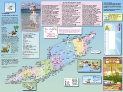
Anguilla Map
Tourist map of Anguilla Island. Shows all restaurants.
3696 miles away
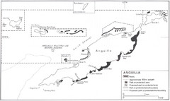
Anguilla Coral Reefs Map
Coral reef map of Anguilla Island.
3696 miles away
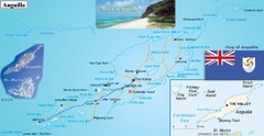
Anguilla Map
3696 miles away
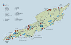
Anguilla Map
3696 miles away
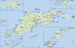
Map of Tortola Island
Tourist map of Tortola, the main island of the British Virgin Islands. Shows national parks and...
3697 miles away
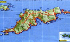
Tortola Island Map
3697 miles away
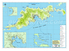
Tortola British Islands Tourist Map
Places of interest.
3697 miles away
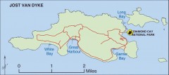
Jost Van Dyke map
Map of Jost Van Dyke island of the British Virgin Islands in the Caribbean.
3697 miles away
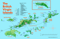
British Virgin Islands Tourist Map
Tourist map of British Virgin Islands with list of major attractions
3697 miles away
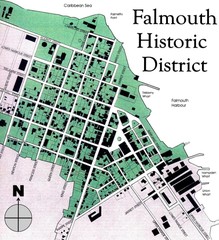
Falmouth Historic District Map
3698 miles away
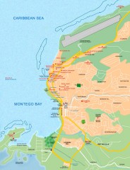
Tourist map of Montego Bay
Tourist map of Montego Bay in Jamaica.
3698 miles away
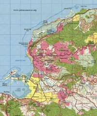
Montego bay topo Map
3698 miles away

