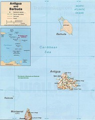
Antigua and Barbuda Map
Map of Antigua and Barbuda showing cities, roads and boundaries.
3650 miles away
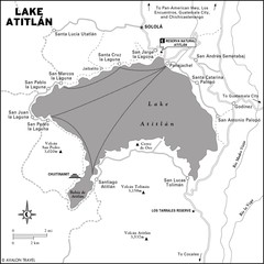
Lake Atitlan Map
3653 miles away
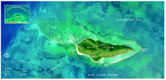
Buck Island Reef National Monument Map
Official NPS park map of Buck Island Reef National Monument off island of St. Croix in the US...
3653 miles away
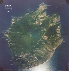
Saba aerial map
Aerial map of Saba. Shows major geological features and towns. Home of one of the world's...
3654 miles away

Leeward Islands Map
Guide to the Leeward Islands of the Caribbean, such as Saint Barthelemey, Saint Martin, Anguilla...
3656 miles away
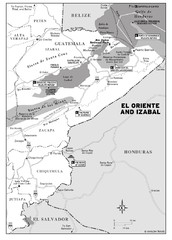
El Oriente and Izabal region Map
3659 miles away
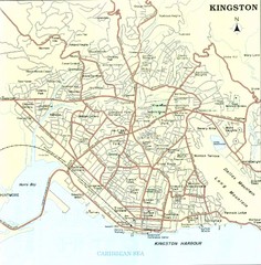
Kingston Street Map
Street map of city of Kingston, Jamaica.
3660 miles away
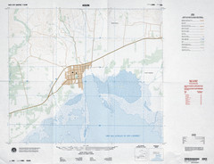
Aquin, Haiti Tourist Map
3662 miles away
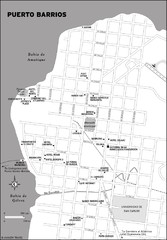
Puerto Barrios city Map
3663 miles away
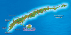
Roatan Island Tourist Map
3665 miles away

Port Antonio road Map
3668 miles away

Jamaica - Population, 1968 Map
3669 miles away

Jamaica - Land Utilization 1968 Map
3669 miles away
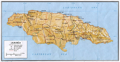
Jamaica (Shaded Relief) 1968 Map
3669 miles away

Jamaica (Shaded Relief) 2002 Map
3669 miles away

Jamaica (Political) 1968 Map
3669 miles away
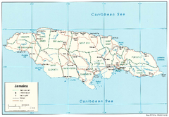
Jamaica (Political) 2002 Map
3669 miles away
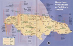
Jamaica Hotel Map
3669 miles away
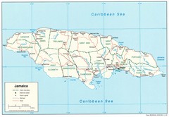
Jamaica Tourist Map
3669 miles away

Jamaica Map
Map of Jamaica, with detail of districts and main cities on the Island
3669 miles away
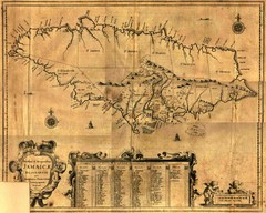
Jamaica Map
Map of historical Jamaica, including early settlements
3669 miles away

Jamaica Outline Map 1882
3669 miles away
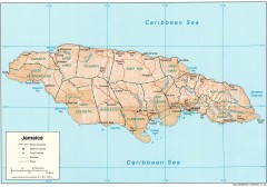
Map of Jamaica
Map of Jamaica, in the Carribbean.
3669 miles away
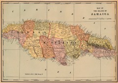
Antique map of Jamaica from 1901
"Map of the Island of Jamaica" from Cram's Modern Atlas the New Unrivaled. Published...
3669 miles away

Puerto Rico Tourist Map
Tourist map for Puerto Rico showing major roads, cities and the airport.
3669 miles away
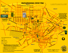
Quetzaltenango City Map
Large and detailed map.
3669 miles away
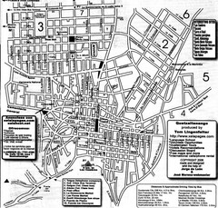
Quetzaltenango Street Map
Street map of Quetzaltenango, Guatemala
3670 miles away
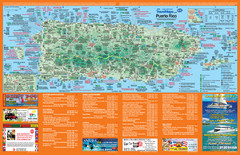
Puerto Rico Tourist Map
Map of island with detail of local tourist attractions
3671 miles away
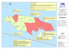
Jamaica Hurricane Dean Map 2007
Shows affected parishes
3671 miles away
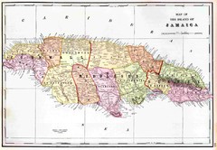
Jamaica 1910 Map
3673 miles away
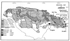
Jamaican geology Map
3673 miles away
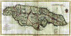
Jamaica County Map
Island map of Jamaica showing counties and parishes "Shows plantations, settlements, churches...
3674 miles away
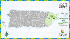
East Central Puerto Rico Map
3675 miles away

Tourist Map of Rincón Puerto Rico
Tourist map of Rincón and surrounding area. Features businesses and points of interest.
3675 miles away
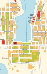
Gustavia Map
3676 miles away
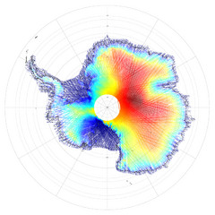
Antarctica Land and Ice Elevation Map
The colors on the map above represent ICESat’s measurements of Antarctica’s topography...
3676 miles away

St. Barthelemy Map
3677 miles away

