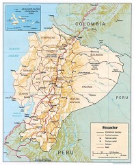
Ecuador map
Map of Ecuador showing provinces and capitols, major roads and rails
2311 miles away
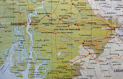
cerca de Guayaquil Map
2314 miles away

Ecuador National Parks Map
2321 miles away
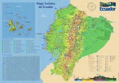
Ecuador Tourist Map
Detailed tourist map of Ecuador with inset of the Galapagos Islands. Shows National Parks and...
2325 miles away
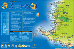
Ruta del Sol Tourist Map
Tourist map of the Ruta del Sol near Santa Elena, Ecuador. Shows points of interest
2327 miles away
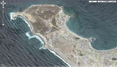
Peninsula de Santa Elena Map
2328 miles away
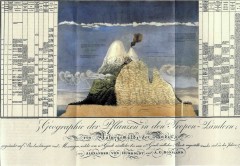
Humboldt's Scientific Representation of...
Alexander von Humboldt's scientific representation of the Chimborazo volcano in Ecuador...
2344 miles away
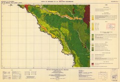
Forest Map of the Colombian Amazonia
2345 miles away
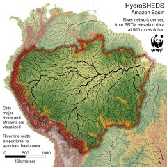
Amazon Basin Hydrosheds Map
Hydrosheds of the Amazon River Basin, the area drained by the Amazon River and its tributaries...
2354 miles away
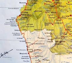
ruta del sol Map
2356 miles away
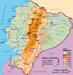
Ecuador Elevations Map
2373 miles away
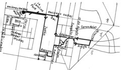
Quito Ecuador Townscape Walks Map
A book of hand-drawn maps with sketches for 12 great walks I designed in Quito, Ecuador.
2419 miles away
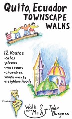
Quito Ecuador Townscape Walks Map
A book of hand-drawn maps with sketches for 12 great walks I designed in Quito, Ecuador.
2419 miles away
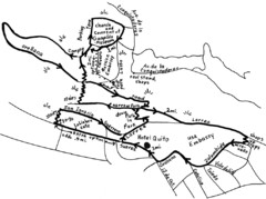
La Colina to Guapulo Map
Lovely walk from the hill top with wonderful views into the old neighborhood of Guapulo. 2.7 miles...
2424 miles away
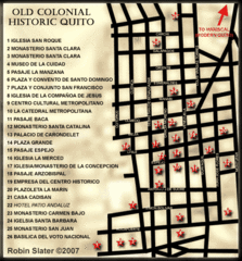
Old Colonial Historic Quito Map
Street map of Old Colonial area of Quito
2424 miles away
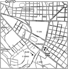
Quito, Ecuador Tourist Map
2424 miles away
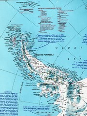
Antarctic Peninsula Map
Shows stations and named geographic features of the Antarctic Peninsula. Scanned.
2425 miles away
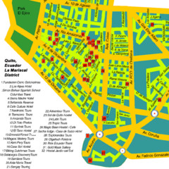
Mariscal District Quito Map
Tourist map of La Mariscal district of Quito
2426 miles away
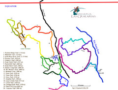
Reserva Las Gralarias Trail Map
2440 miles away

Amazon River Map
Old map of the Amazon River and major tributaries.
2447 miles away
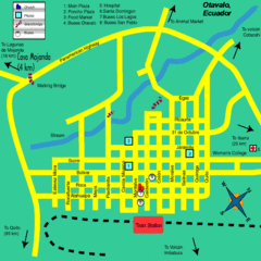
Otavalo City Map
2452 miles away
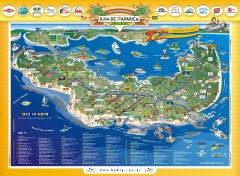
Ilha de Itaparica Tourist Map
Tourist map of Ilha de Itaparica, Brazil. In Portuguese.
2532 miles away
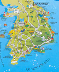
Salvador Tourism Map
2542 miles away
Alexander Island Map
Topographic map of Alexander Island
2557 miles away

San Cristobal Island Map
2613 miles away

Floreana Island Map
2613 miles away
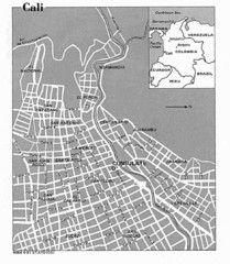
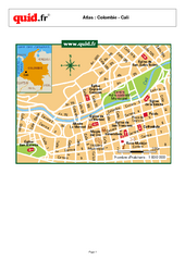
Cali City Tourist Map
2654 miles away
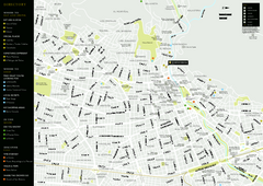
Cali City Map
2654 miles away
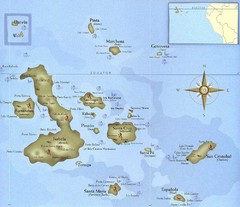
Galapagos Islands Tourist Map
Tourist map of the Galapagos Islands, Ecuador. Shows recreational activity locations.
2659 miles away

Isabela Island Map
2679 miles away

Galapagos Islands Map
2687 miles away
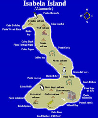
Isla Isabela Tourist Map
Tourist map of Isla Isabela in the Galapagos, Ecuador. Shows coastal features and wildlife.
2690 miles away

Fernandina Island Map
2702 miles away
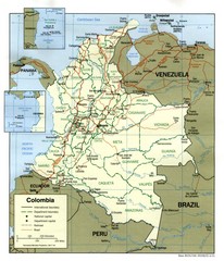
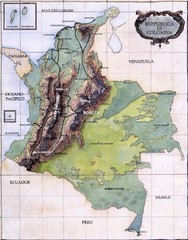
Colombia Country Map
2718 miles away
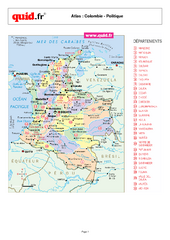
Colombia Regional Map
Country map with detail of regional divides
2718 miles away
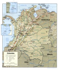
Colombia Regional Map
Map of various regions and main cities of Colombia
2718 miles away
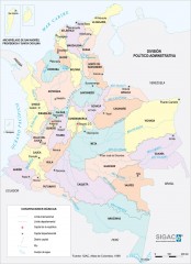
Colombia Political Map
Political map of Colombia. Shows departamental capitals. In Spanish.
2718 miles away

