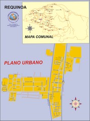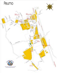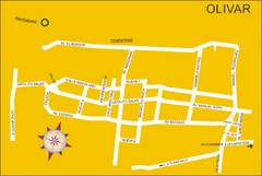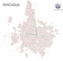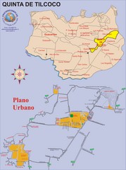
Quinta de Tilcoco Map
Street map of town
0 miles away
Near Quinta de Tilcoco, Chile
2193 × 2947•739 KB•JPG
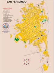
San Fernando Tourist Map
Tourist street map of city
16 miles away
Near San Fernando, Chile
2193 × 2947•1.0 MB•JPG
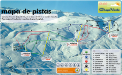
Chapa Verde Ski Trail Map
Trail map from Chapa Verde.
37 miles away
Near Chapa Verde, Rancagua, Chile
683 × 421•537 KB•PNG
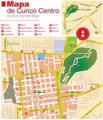
Curico Center Tourist Map
Tourist map of town center
46 miles away
Near Curico, Chile
1104 × 1287•317 KB•JPG
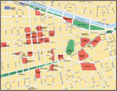
Central Santiago Street Map
Map of central Santiago, Chile
66 miles away
Near Santiago, Chile
1079 × 842•192 KB•GIF
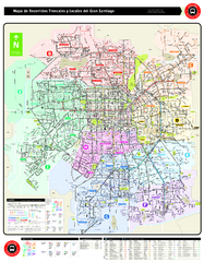
Santiago Bus and Metro Map
Shows bus routes and metro routes in Santiago, Chile. Shows the 10 areas of service in Santiago.
66 miles away
Near Santiago, Chile
1.2 MB•PDF
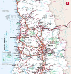
Central Chile Tourist Map
Provinces in Chile
68 miles away
Near Santiago, Chile
1733 × 1800•614 KB•JPG
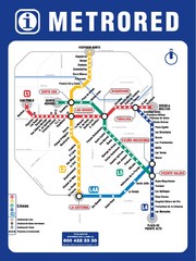
Santiago Chile Subway Map
Metro Red map for the Santiago, Chile Subway.
68 miles away
Near Santiago, Chile
850 × 1134•398 KB•JPG
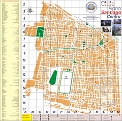
Santiago Center Map
Street map of city center
69 miles away
Near Santiago, Chile
4295 × 4268•2.6 MB•JPG
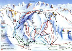
Las Leñas Ski Trail Map
Trail map from Las Leñas.
74 miles away
Near Las Leñas, Mendoza, Argentina
717 × 509•115 KB•JPG
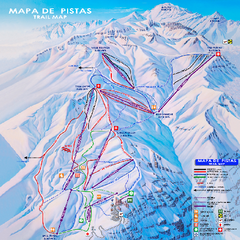
Valle Nevado Ski Trail Map
Trail map from Valle Nevado, which provides downhill and terrain park skiing. It has 11 lifts. This...
81 miles away
Near Región Metropolitana, Chile
1.2 MB•PDF
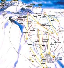
La Parva Ski Trail Map
Trail map from La Parva. This ski area has its own website.
81 miles away
Near Región Metropolitana, Chile
600 × 633•101 KB•JPG
page 1 of 379

