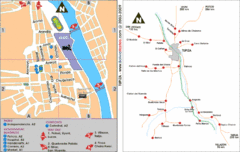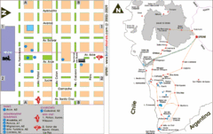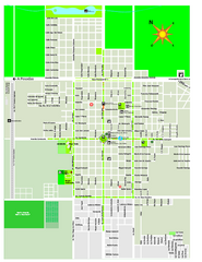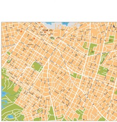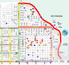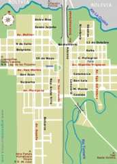
La Quiaca City Map
Street map of city
915 miles away
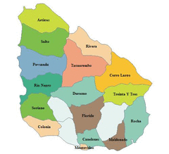
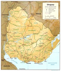
Uruguay Map
925 miles away

Parque Nacional Baritu Map
Map of park with detail of trails
973 miles away
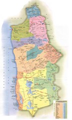
Tarapaca Region Political Map
987 miles away
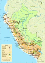
Western South America Tourist Map
1005 miles away

Northern Chile Tourist Map
Provinces in Northern Chile
1047 miles away

Paraguay political Map
1067 miles away
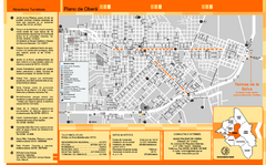
Obera Tourist Map
Tourist street map of city
1069 miles away
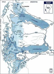
Los Glacieres Park Map
1076 miles away
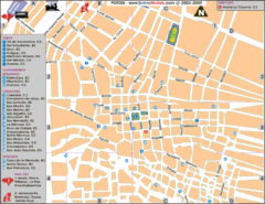
Potosi Center Map
Tourist street map of downtown Potosi
1077 miles away

Paraguay Map
Map of Paraguay showing cities, roads, railroads and borders.
1082 miles away
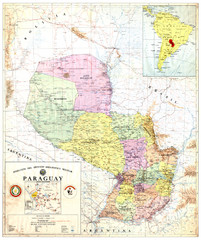
Official map of Paraguay
Official map of Paraguay, year 1993
1082 miles away
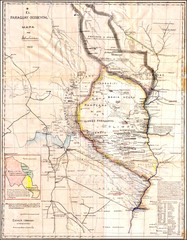
Wartime map of the Chaco
This 1933 map of the Chaco was made during the Chaco War between Paraguay and Bolivia and used by...
1082 miles away
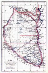
All the failed proposals to delimit the Chaco Map
Here you can see all the proposals to delimit the Chaco between 1879 and 1894. Everyone of them...
1082 miles away
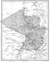
Map of Paraguay before the Chaco War
This is an internationally accepted map of Paraguay before the Chaco War (1932-35) made by Scottish...
1082 miles away
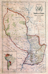
Map of Paraguay before the Chaco War
This dateless map of Paraguay that I scanned shows all the local claim over the Chaco (the northern...
1082 miles away
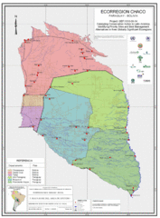
Ecological Region of the Chaco Map
This is the ecological Region of the Chaco shared between Paraguay and Bolivia
1082 miles away
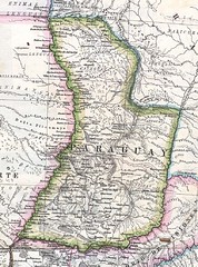
Paraguay Political Map 1875
Political map of Paraguay in 1875. Part of "Mapa Original de la Republica Argentina y Estados...
1082 miles away

Paraguay Map
1098 miles away
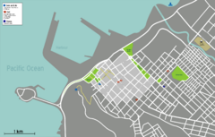
Arica Tourist Map
Tourist map of city of Arica, Chile. Shows attractions, restaurants, and accommodations.
1100 miles away
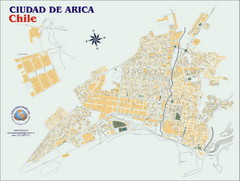
Arica Street Map
Street map of Arica, Chile.
1101 miles away
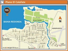
El Calafate City Map
Street map of downtown area
1107 miles away
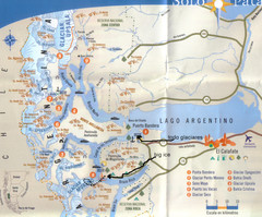
National Park, Perito Moreno Map
1116 miles away
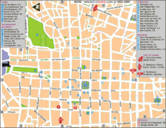
Downtown Sucre Map
Tourist street map of downtown Sucre
1122 miles away
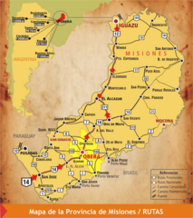
Misiones Province Map
Map of province with detail of main cities and towns
1127 miles away
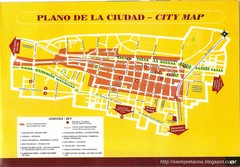
Tacna Tourist Map
Tourist map of city center
1132 miles away
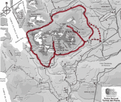
W Circuit Torres del Paine National Park Map
Map of famous trekking circuit in Torres del Paine National Park, Chile. Show refugios along route
1152 miles away

Altiplano in Western Bolivia Map
1153 miles away
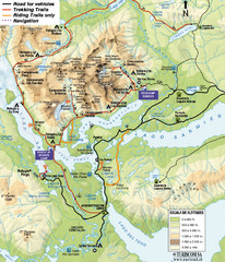
Torres del Paine National Park Map
1154 miles away
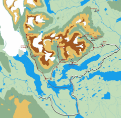
Torres del Paine Trekking Map
Shows trekking/hiking circuit in the Torres del Paine National Park in Chile. Includes hiking...
1155 miles away
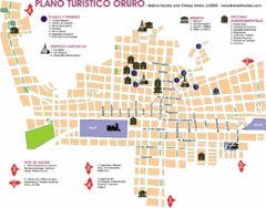
Oruro Tourist Map
Tourist street map of town
1162 miles away
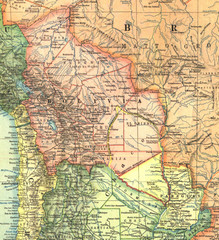
Bolivia and Paraguay in 1921 Map
1921 National Geographic Map of Bolivia and Paraguay before of the 1932-35 bloody war between those...
1167 miles away

