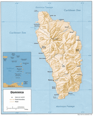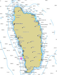
Dominica scuba sites Map
3505 miles away
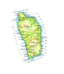
Dominica Map
3506 miles away
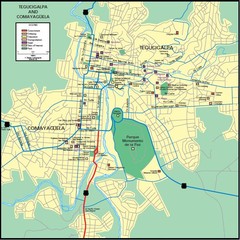
Tegucigalpa Map
3510 miles away
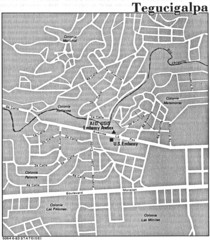
Tegucigalpa Honduras Map
3510 miles away
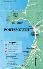
Portsmouth Dominica Map
3514 miles away
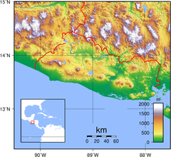
El Salvador topography Map
3519 miles away
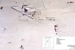
Amundsen Scott South Pole Station Aerial Map
Aerial photo map of the US Amundsen Scott South Pole Station at the South Pole, Antarctica
3522 miles away
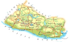
El Salvador Map
3523 miles away
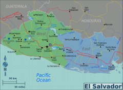
El Salvador regions Map
3523 miles away
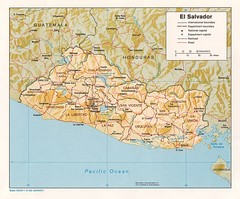
El Salvador Tourist Map
3526 miles away
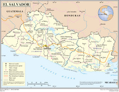
El Salvador Country Map
Map of El Salvador and surrounding countries.
3526 miles away
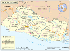
El Salvador Map
3526 miles away
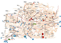
San Salvador Map
3527 miles away
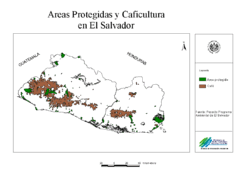
El Salvador coffee growing areas Map
3528 miles away
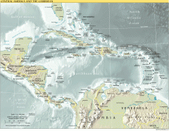
Overview map of Central America and the Caribbean
Shows the entire Caribbean region with names of islands/countries and major towns/cities.
3532 miles away
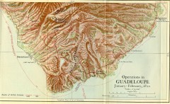
Guadeloupe British Military Operations 1810 Map
Map shows Guadeloupe British Military Operations by land and sea in 1810
3540 miles away
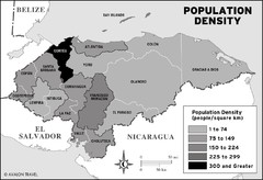
Honduras population density Map
3541 miles away
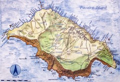
Pitcairn Island Map
3543 miles away
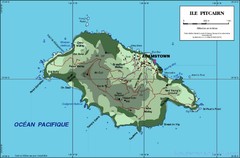
Pitcairn Island Map
3543 miles away
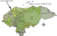
Coffee Plantations of Honduras Map
3545 miles away
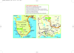
Basse-Terre Overview Map
Shows location of Hotel Le Jardin Malanga in southern Basse-Terre, Guadeloupe.
3545 miles away
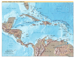
Central America and Caribbean Map
Map of Central America and Caribbean
3546 miles away
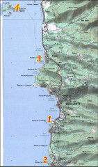
Bouillante West Coast Topo Map
Topo map of the west coast of island of Basse-Terre in the Guadeloupe Archipelago.
3548 miles away
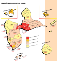
Guadeloupe Population Density Map
Population density of Guadeloupe Islands. A prefecture of France. Data as of 8/12/2003
3554 miles away
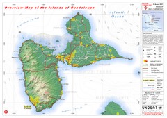
Guadeloupe Overview Map
Overview physical map of Basse-Terre and Grande-Terre Islands in the French Guadeloupe archipelago...
3556 miles away
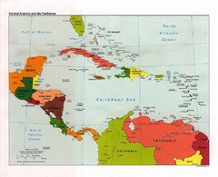
Caribbean Political Map
Political map of the Caribbean region. Scanned.
3559 miles away
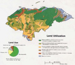
Honduras Land Use and Land Utilization, 1983 Map
3566 miles away
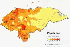
Honduras Population Map, 1974 Census Map
3566 miles away
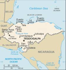
Honduras Map
3566 miles away
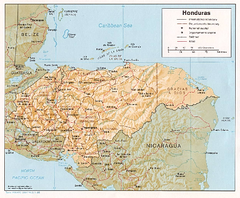
Honduras Relief Map, 1985 Map
3566 miles away
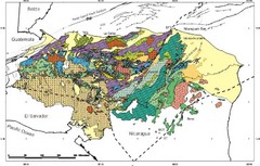
Honduras Geology Map
3566 miles away
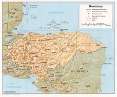
Honduras Tourist Map
3566 miles away
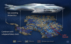
Antarctic Lakes and Rivers Map
Sub-glacial lakes, river systems.
3572 miles away
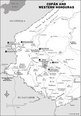
Western Honduras Map
3576 miles away

Honduras North coast Map
3578 miles away

Plymoth and enviorns Map
3582 miles away
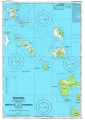
Leeward Islands Nautical Map
Nautical chart of the Leeward Islands in the Caribbean
3584 miles away

Montserrat lava flows Map
3584 miles away
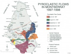
Pyroclastic flows in Montserrat 1997-1998 Map
Shows pyroclastic flows and destroyed settlements in 1997-1998.
3585 miles away

