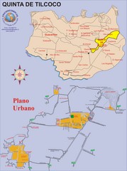
Quinta de Tilcoco Map
Street map of town
37 miles away
Near Quinta de Tilcoco, Chile
2193 × 2947•739 KB•JPG
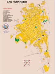
San Fernando Tourist Map
Tourist street map of city
38 miles away
Near San Fernando, Chile
2193 × 2947•1.0 MB•JPG
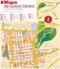
Curico Center Tourist Map
Tourist map of town center
46 miles away
Near Curico, Chile
1104 × 1287•317 KB•JPG
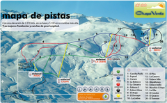
Chapa Verde Ski Trail Map
Trail map from Chapa Verde.
69 miles away
Near Chapa Verde, Rancagua, Chile
683 × 421•537 KB•PNG
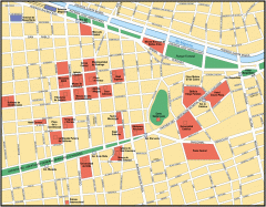
Central Santiago Street Map
Map of central Santiago, Chile
87 miles away
Near Santiago, Chile
1079 × 842•192 KB•GIF
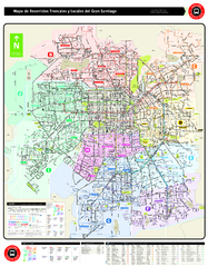
Santiago Bus and Metro Map
Shows bus routes and metro routes in Santiago, Chile. Shows the 10 areas of service in Santiago.
88 miles away
Near Santiago, Chile
1.2 MB•PDF
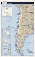
Chile Tourist Map
89 miles away
Near Chile
1296 × 2103•583 KB•JPG
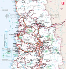
Central Chile Tourist Map
Provinces in Chile
90 miles away
Near Santiago, Chile
1733 × 1800•614 KB•JPG
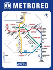
Santiago Chile Subway Map
Metro Red map for the Santiago, Chile Subway.
90 miles away
Near Santiago, Chile
850 × 1134•398 KB•JPG
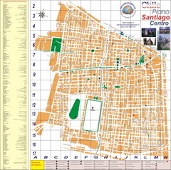
Santiago Center Map
Street map of city center
91 miles away
Near Santiago, Chile
4295 × 4268•2.6 MB•JPG
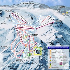
Valle Nevado Ski Resort Trail Map
Trail Map for Valle Nevado Ski Resort in Chile. Map includes lifts, mountain elevations and ski...
92 miles away
Near valle nevado, chile
1476 × 1476•242 KB•JPG
page 1 of 379


