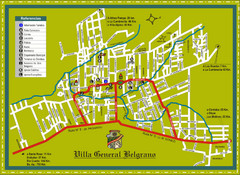
Villa General Belgrano Tourist Map
Tourist street map
579 miles away
Near Villa General Belgrano, Cordoba, Argentina
1600 × 1165•720 KB•JPG
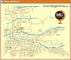
Villa de Merlo City Map
Street map of city
582 miles away
Near Villa de Merlo, San Luis, Argentina
1300 × 1118•127 KB•JPG
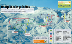
Chapa Verde Ski Trail Map
Trail map from Chapa Verde.
593 miles away
Near Chapa Verde, Rancagua, Chile
683 × 421•537 KB•PNG
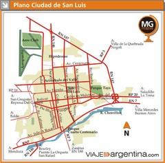
San Luis City Map
Street map of downtown
600 miles away
Near San Luis, San Luis, Argentina
800 × 791•87 KB•JPG
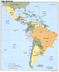
Latin America Map
614 miles away
Near Latin America
1078 × 1310•259 KB•GIF
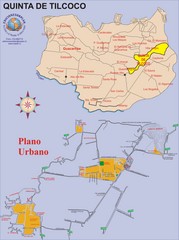
Quinta de Tilcoco Map
Street map of town
620 miles away
Near Quinta de Tilcoco, Chile
2193 × 2947•739 KB•JPG
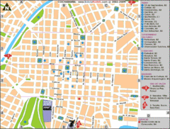
Cochabamba Ceter Map
Tourist street map of downtown Cochabamba
621 miles away
Near Cochabamba, Bolivia
865 × 657•83 KB•GIF
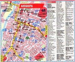
Arequipa Tourist Map
Tourist map of Arequipa, Peru. Shows streets and points of interest.
627 miles away
Near Arequipa, Peru
1798 × 1502•903 KB•JPG
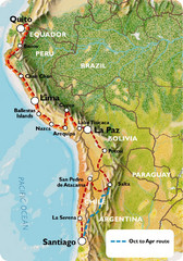
South America Tour Map
635 miles away
Near La Paz
697 × 995•207 KB•JPG
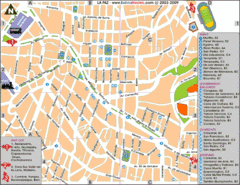
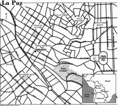
La Paz Tourist Map
Tourist street map of La Paz city center
635 miles away
Near La Paz, Bolivia
853 × 657•96 KB•GIF
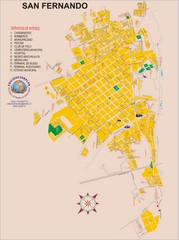
San Fernando Tourist Map
Tourist street map of city
635 miles away
Near San Fernando, Chile
2193 × 2947•1.0 MB•JPG
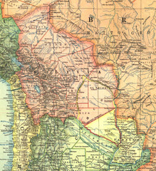
Bolivia and Paraguay in 1921 Map
1921 National Geographic Map of Bolivia and Paraguay before of the 1932-35 bloody war between those...
637 miles away
Near El Tacovo, Bolivia
1105 × 1213•781 KB•JPG

Santa Cruz South Map
Street map of city
640 miles away
Near Santa Cruz, Chile
2193 × 2947•960 KB•JPG

Santa Cruz North Map
Street map of city
640 miles away
Near Santa Cruz, Chile
1641 × 2311•524 KB•JPG
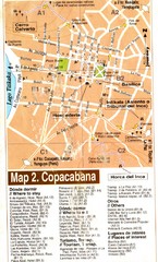
Copacabana Tourist Map
Tourist map of Copacabana, Bolivia on Lake Titikaka. Shows hotels, restaurants, and other places...
646 miles away
Near Copacabana, Bolivia
1253 × 2075•798 KB•JPG
page 3 of 379

