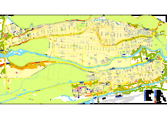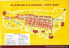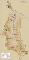
Rio de los Cipreses River Map
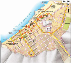
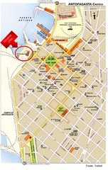
Rio de los Cipreses in Antofagasta, Chile
127 miles away
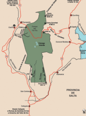
Los Cardones National Park Map
Map of park with detail of trails
270 miles away
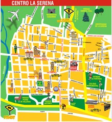
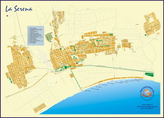
La Serena Center Tourist Map
Tourist map of city center
314 miles away
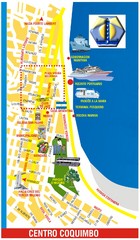
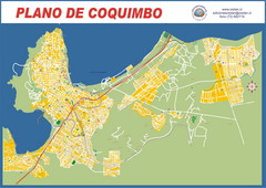
Coquimbo Center Touist Map
Tourist map of city center
319 miles away
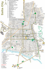
Salta Tourist Map
Tourist street map of Salta
321 miles away
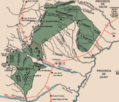
Calilegua National Park Map
Map of park with detail of various trails
329 miles away
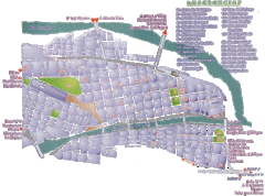
San Salvador de Jujuy Tourist Map
Tourist street map of downtown
337 miles away
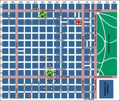
San Miguel de Tucuman City Map
Street map of downtown
341 miles away
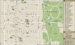
San Miguel de Tucuman Tourist Map
Tourist street map of downtown
342 miles away
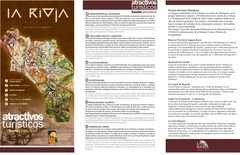
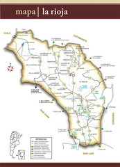
La Rioja Tourist Map
Tourist map of region
356 miles away
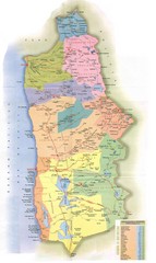
Tarapaca Region Political Map
368 miles away
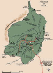
El Rey National Park Map
Map of park with detail of trails
370 miles away
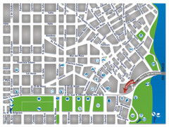
Termas De Rio Hondo Map
City street map
377 miles away
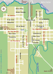
La Quiaca City Map
Street map of city
385 miles away
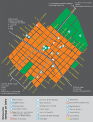
Santiago Del Estero Tourist Map
Tourist street map of city center
418 miles away
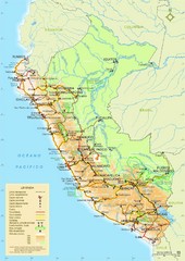
Western South America Tourist Map
428 miles away

Northern Chile Tourist Map
Provinces in Northern Chile
428 miles away
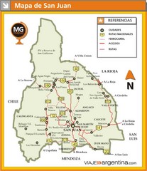
San Juan Province Map
Map of region with detail of main towns
429 miles away
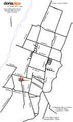
Barreal Map
Street map of town
435 miles away
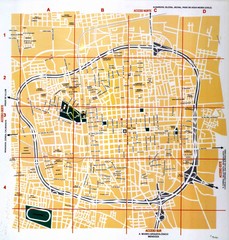
San Juan City Map
Street map of city
440 miles away
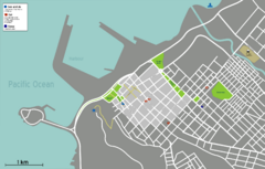
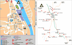
Arica Tourist Map
Tourist map of city of Arica, Chile. Shows attractions, restaurants, and accommodations.
480 miles away
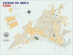
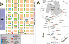
Arica Street Map
Street map of Arica, Chile.
480 miles away
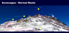
Aconcagua Normal Route Map
Shows the normal climbing route up Aconcagua, at 22,841 ft the highest mountain in the Americas and...
501 miles away
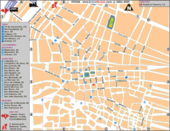
Potosi Center Map
Tourist street map of downtown Potosi
504 miles away

Parque Nacional Baritu Map
Map of park with detail of trails
512 miles away

