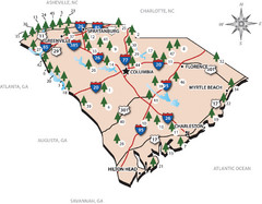
South Carolina State Park Map
Shows state parks in South Carolina
1925 miles away
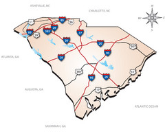
South Carolina Interstate Map
Shows Interstate highways in South Carolina
1925 miles away
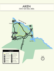
Aiken State Park Map
Small and simple state park map.
1926 miles away
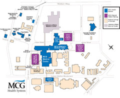
MCG Health System--Medical College of Georgia...
Color-coded map of all buildings on the Medical College of Georgia associated with the MCG Health...
1927 miles away
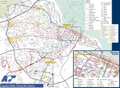
Augusta Public Transit Routes Map
Transit Route Map of the town of Augusta. Includes all streets, some important buildings, and a...
1927 miles away
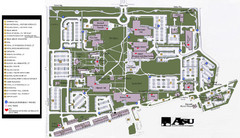
Augusta State University Map
Campus map
1928 miles away
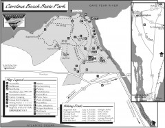
Caroline Beach State Park Map
Detailed recreation map for Caroline Beach State Park in North Carolina
1928 miles away
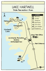
Lake Hartwell State Park Map
Clear state park map.
1931 miles away
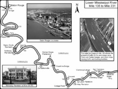
Mississippi River Mile 135 to Mile 231 Map
Historical Map from book "Mississippi River-Historical Sites and Interesting Places
1931 miles away
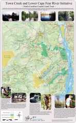
Town Creek and Lower Cape Fear river initiative...
This map shows protected and priority conservation areas of the North Carolina Coastal Land Trust...
1931 miles away
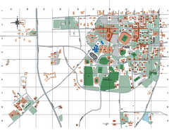
Auburn University Map
1931 miles away
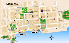
Hamilton City Map
Tourist map of central Hamilton, Bermuda. Shows major streets and parks.
1931 miles away
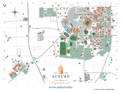
Auburn University Map
Campus Map of Auburn University. All areas shown.
1931 miles away
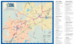
Auburn and Opelika City Map
Map of Auburn and Opelika, Alabama with tourist information.
1932 miles away
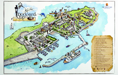
Royal Naval Dockyard Tourist Map
Tourist map of the Royal Naval Dockyard in Bermuda. Shows points of interest
1932 miles away
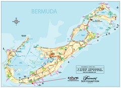
Bermuda Overview Map
Overview map of Bermuda. Shows sunken ship diving spots.
1932 miles away
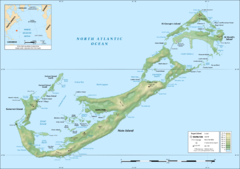
Bermuda topographic Map
1932 miles away
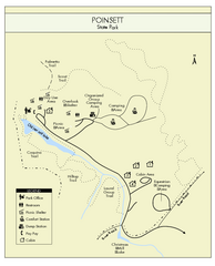
Poinsett State Park Map
Map and legend for this wonderful state park, marking bathrooms, camping grounds, roads, and more.
1932 miles away
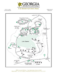
F.D. Roosevelt State Park Map
Map of park with detail of trails and recreation zones
1933 miles away
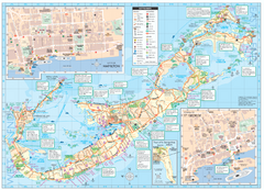
Tourist map of Bermuda
Great tourist map of Bermuda from the Bermuda Department of Tourism. Historic, transport...
1933 miles away
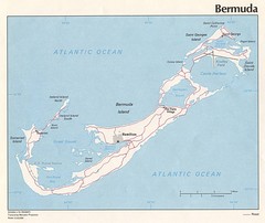
Bermuda Tourist Map
1933 miles away
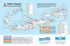
Bermuda Public Transport Map
Bus and ferry map of Bermuda. Shows ferry stops and bus routes.
1933 miles away
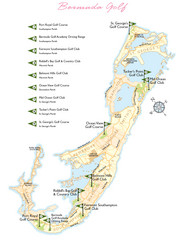
Bermuda Golf Map
Golf map of Bermuda. Shows 9 golf courses.
1933 miles away
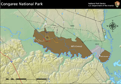
Congaree National Park Official Park Map
Official NPS map of Congaree National Park. Map shows all areas. Congaree National Park is open...
1934 miles away
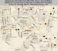
Montgomery, Alabama City Map
1935 miles away

Crystal Cave Map
Tourist map of the grounds of Crystal Caves, Bermuda. Shows entrances to Crystal Cave and Fantasy...
1936 miles away
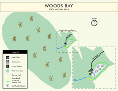
Woods Bay State Park Map
Clear map of this small yet beautiful state park.
1937 miles away
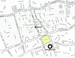
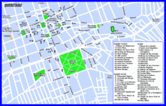
Queretaro City Map
City map of Queretaro with places of interest
1937 miles away
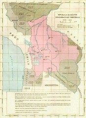
Alleged territorial losses of Bolivia Map
This Bolivian map shows all the alleged territorial losses.
1939 miles away

St. George Tourist Map
Tourist map of historic city of St. George, Bermuda. Recognized by UNESCO as a World Heritage Site.
1939 miles away
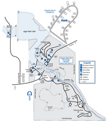
High Falls State Park Map
Map of park with detail of trails and recreation zones
1940 miles away
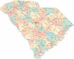
South Carolina Road Map
South Carolina state road map
1940 miles away
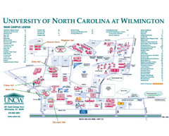
University of North Carolina at Wilmington Map
Campus map
1940 miles away
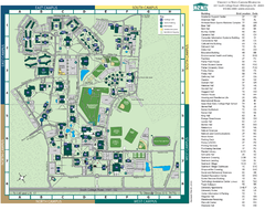
UNC Wilmington Campus Map
1940 miles away
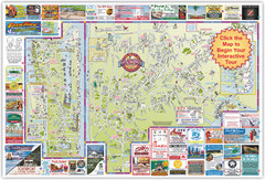
Wilmington, North Carolina City Map
1941 miles away
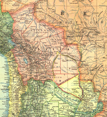
Bolivia and Paraguay in 1921 Map
1921 National Geographic Map of Bolivia and Paraguay before of the 1932-35 bloody war between those...
1941 miles away

South Carolina Counties Map
1941 miles away

