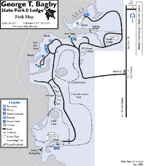
George T. Bagby State Park Map
Map of park with detail of trails and recreation zones
1864 miles away

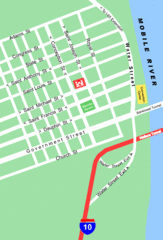
Charleston, South Carolina City Map
1864 miles away
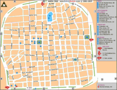
Santa Cruz Tourist Map
Tourist map of city center
1866 miles away
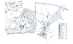
George L. Smith State Park Map
Map of park with detail of trails and recreation zones
1868 miles away
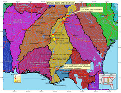
Drainage Basins of the Southeast United States Map
Lakes, rivers and dams in the Apalachicola, Chattahoochee and Flint River System.
1870 miles away
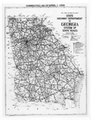
Georgia 1939 Road Map
State Road Map of Georgia in 1939
1870 miles away
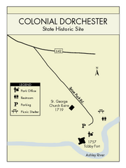
Colonial Dorchester State Park Map
Office, parking, picnic sites and more are all clearly marked on this state park site.
1870 miles away

Mississippi & Alabama coastal area, 1732 Map
1872 miles away
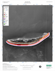
Ship Island Map
1872 miles away
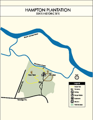
Hampton Plantation State Park Map
Clear and easy to read map.
1873 miles away

Summerville, South Carolina Tourist Map
1874 miles away
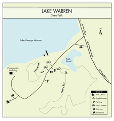
Lake Warren State Park Map
Clearly marked state park map.
1874 miles away
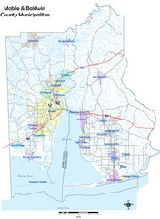
Mobile County Map
Clear map marking Mobile County and local area.
1874 miles away

Mobile, Alabama City Map
1874 miles away
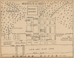
Antique map of Mobile from 1815
"Mobile in 1815" From Report on the Social Statistics of Cities, Compiled by George E...
1874 miles away
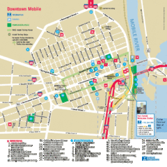
Mobile, Alabama Tourist Map
1874 miles away
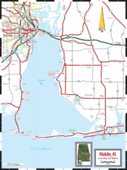
Mobile, Alabama Tourist Map
1874 miles away
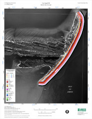
Cat Island Map
Cat Island NW Coastal Classification
1877 miles away
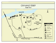
Givhans Ferry State Park Map
Map marked with shelter, phone, restrooms, picnic and more.
1878 miles away
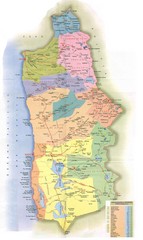
Tarapaca Region Political Map
1879 miles away
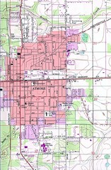
Atmore City Map
Topographical city map of Atmore, Alabama
1879 miles away

Bathymetric Chart of Mississippi Gulfshore...
1881 miles away
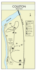
Colleton State Park Map
Detailed map and map legend of this beautiful state park.
1883 miles away
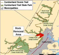
Cumberland Trail, Alabama Map
1884 miles away
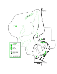
Providence Canyon State Park Map
Map of park with detail of trails and recreation zones
1884 miles away
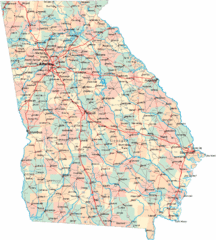
Georgia Road Map
Detailed, colorful road map of the state of Georgia.
1885 miles away
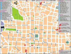
Downtown Sucre Map
Tourist street map of downtown Sucre
1886 miles away
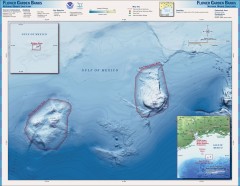
Flower Garden National Marine Sanctuary Map
Official map of the Flower Garden National Marine Sanctuary 110 miles off the coast of Texas...
1886 miles away
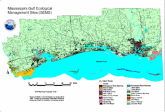
Mississippi Gulf Ecological Management Sites Map
GEMS area map
1886 miles away
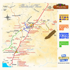
Wine Route Map
Map of various wine tour routes throughout Mexico
1886 miles away
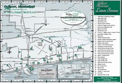
Gulfport Recreational Facilities Map
Shows parks and other recreational points of interest in Gulfport, Mississippi.
1887 miles away
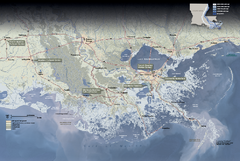
Jean Lafitte National Historical Park and...
Official NPS map of Jean Lafitte National Historical Park and Preserve in Louisiana. Map shows all...
1887 miles away
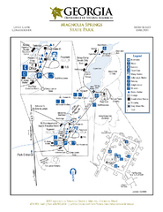
Magnolia Springs State Park Map
Map of park with detail of trails and recreation zones
1887 miles away
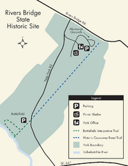
Rivers Bridge State Park Map
Nice and clear map of this history state park.
1888 miles away
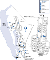
Florence Marina State Park Map
Map of park with detail of trails and recreation zones
1889 miles away

New Orleans Magazine Street Map
Illustrated map by Michael A Hill for US Magazine - Lucky for shopping feature.
1890 miles away
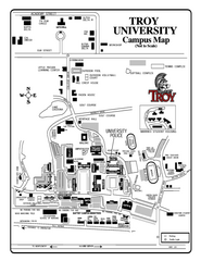
Troy University Map
Campus map of Troy University Troy campus. All areas shown.
1891 miles away
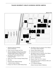
Tulane University Downtown Campus Map
1891 miles away


