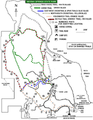
Wekiwa Springs State Park Trail Map
Trail map of park
1602 miles away
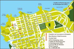
Cayenne City Map
City map of Cayenne, French Guiana. Shows a couple hotels and a workshop venue location
1603 miles away
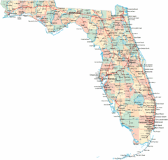
Florida Road Map
1605 miles away
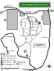
Rock Springs Run State Reserve Trail Map
Map of various trails throughout reserve
1607 miles away
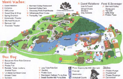
Weeki Wachee Springs State Park Map
Map of park
1607 miles away
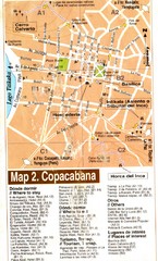
Copacabana Tourist Map
Tourist map of Copacabana, Bolivia on Lake Titikaka. Shows hotels, restaurants, and other places...
1613 miles away
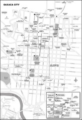
Oaxaca City, Mexico City Map
1613 miles away
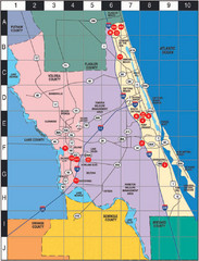
Western Florida County Map
Counties in Western Florida
1616 miles away
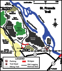
St. Francis Trail Map
The trail is located in Volusia county, about a mile from Deland. It is about an hour from Ocala.
1616 miles away
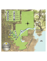
Lake Griffin State Park Map
Map of park with detail of trails and recreation zones
1618 miles away
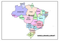
Brazil Map; Editable in Illustrator
Brazil Map, royalty free, fully editable with Illustrator. Mapsandlocations, a freelance company...
1619 miles away
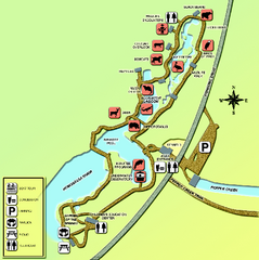
Homosassa Springs Wildlife State Park map
Map of park with detail of trails and recreation zones
1626 miles away
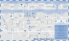
Dayton Beach Map
Map of greater Dayton Beach area
1627 miles away
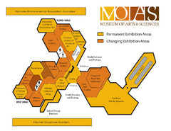
MOAS Museum Map
1627 miles away

Citrus County, Florida Map
Tourist map of Citrus County, Florida. Shows parks, trails, museums, and other points of interest.
1629 miles away
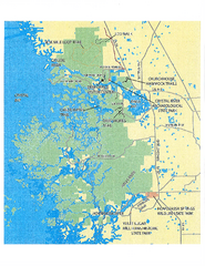
Crystal River Preserve State Park Map
Map of park with detail of recreation zones
1629 miles away
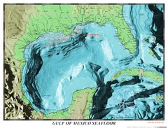
Gulf of Mexico sea floor Map
1630 miles away
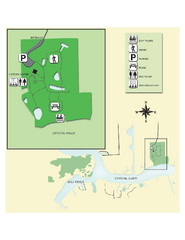
Crystal River Archeological State Park Map
Map of park with detail of trails and recreation zones
1634 miles away
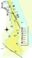
Tomoka State Park Map
Map of park with detail of recreation zones
1637 miles away
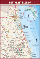
Northeast Florida Road map
A complete road map of the Northeast section of the state of Florida.
1638 miles away
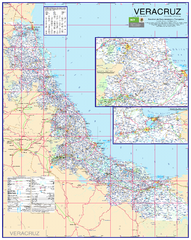
Veracruz Road Map
Detailed road map of the state of Veracruz. Inset of Veracruz city surroundings. In Spanish.
1639 miles away
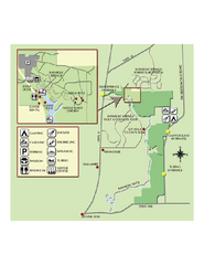
Rainbow Springs State Park Map
Map of park with detail of recreation zones
1642 miles away
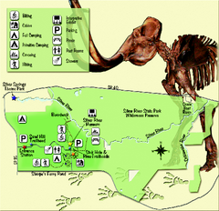
Silver River State Park Map
Map of park with detail of trails and recreation zones
1643 miles away
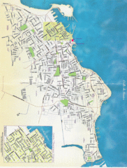
Veracruz City Map
Veracruz city map with Language Immersion School highlighted
1648 miles away
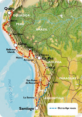
South America Tour Map
1654 miles away
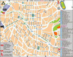
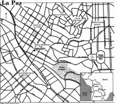
La Paz Tourist Map
Tourist street map of La Paz city center
1654 miles away
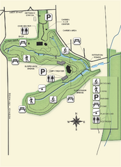
Ravine Gardens State Park Map
Map of park with detail of trails and recreation zones
1665 miles away
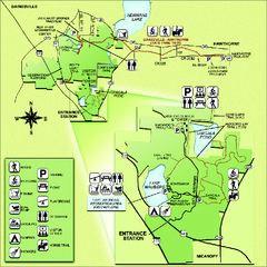
Paynes Prairie State Preserve Map
Map of preserve with detail of trails and recreation zones
1672 miles away

University of Florida Map
1677 miles away
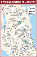
Downtown St. Augustine, Florida Map
Tourist map of historic downtown St. Augustine, Florida. Shows visitor information, restrooms, and...
1677 miles away
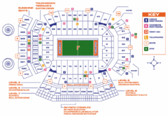
Ben Hill Griffin Stadium Map
Clear map and legend of this stadium.
1678 miles away
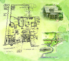
Dudley Farm Historic State Park Map
Map of park with detail of historical monuments
1681 miles away
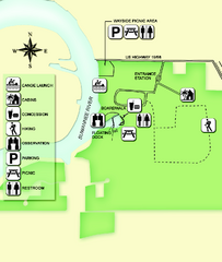
Fanning Springs State Park Map
Map of park with detail of trails and recreation zones
1684 miles away
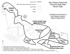
San Felasco Hammock Preserve State Park Horse...
Map of horse trails throughout preserve
1685 miles away
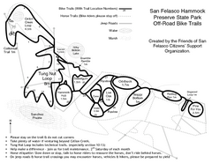
San Felasco Hammock Preserve State Park Bike...
Map of bike trails throughout preserve
1685 miles away
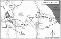
Invasion of Veracruz to Mexico City Historical Map
1692 miles away
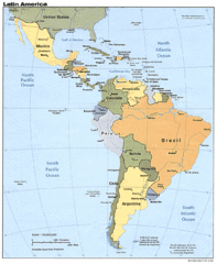
Latin America Map
1699 miles away
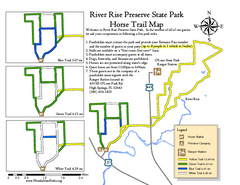
River Rise Preserve State Park Horse Trail Map
Map of horse trails throughout preserve
1699 miles away
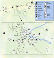
OLeno State Park Map
Map of park with detail of trails and recreation zones
1699 miles away

