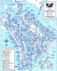
Marco Island Map
1421 miles away
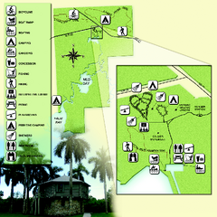
Collier-Seminole State Park Map
Map of park with detail of trails and recreation zones
1421 miles away
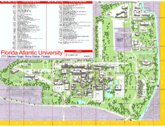
Florida Atlantic University - Boca Raton Campus...
Florida Atlantic University Campus Map. All buildings shown.
1422 miles away
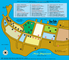
New Plymouth Village, Green Turtle cay Map
1423 miles away
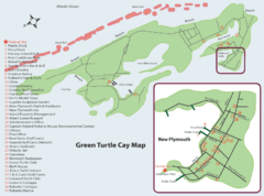
Green Turtle cay Map
1424 miles away
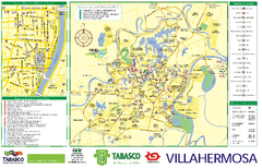
Villahermosa tourist map
1426 miles away
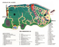
La Venta Park Map
1426 miles away
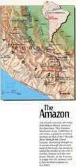
Headwaters of the Amazon Map
1437 miles away
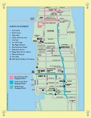
Palm Beach Tourist Map
1445 miles away
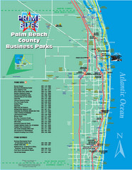
Palm Beach Tourist Map
1445 miles away
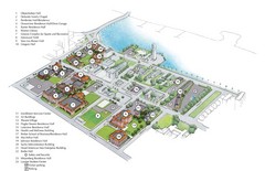
Palm Beach Atlantic University Map
Campus map
1445 miles away
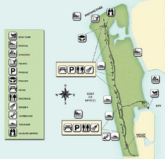
Delnor-Wiggings Pass State Park Map
Map of park with detail of trails and recreation zones
1446 miles away
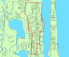
West Palm Beach, Florida City Map
1447 miles away
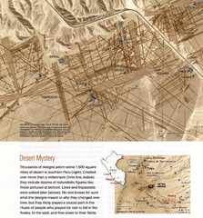
Nasca Lines Map
From National Geographic Magazine
1455 miles away
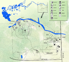
Koreshan State Historic Site Map
Map of park with detail of trails and recreation zones
1455 miles away
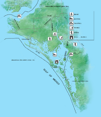
Estero Bay Preserve State Park Map
Map of park with detail of trails and recreation zones
1457 miles away
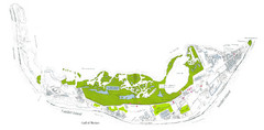
Sanibel Island and Captiva Island Map
1462 miles away
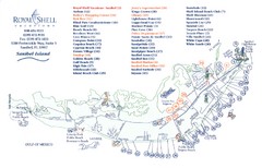
Sanibel Island Tourist Map
Tourist map of Sanibel Island, Florida
1463 miles away
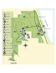
Jonathan Dickinson State Park Map
Map of park with detail of trails and recreation zones
1467 miles away
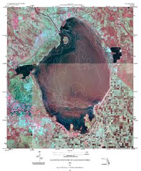
Elevation contour maps of Lake Okeechobee Map
Elevation contour maps of Lake Okeechobee
1470 miles away
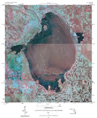
Elevation Contours of Lake Okeechobee Map
Elevation contour maps of Lake Okeechobee
1470 miles away
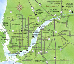
Cap Coral and Surrounding Area Map
Small, humble fishing community along the coast of Florida.
1470 miles away
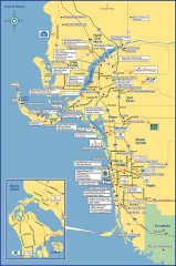
Fort Meyers tourist map
Tourist map of Fort Meyers, Florida. Shows businesses and points of interest.
1470 miles away
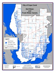
Cape Coral, Florida City Map
1473 miles away
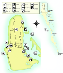
Cayo Costa State Park Map
Map of park with detail of trails and recreation zones
1479 miles away
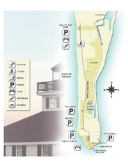
Gasparilla Island State Park Map
Map of park with detail of trails and recreation zones
1484 miles away

Baseball Spring Training in Souther Florida Map
Guide 2009 Baseball Spring Training in Florida
1484 miles away
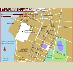
St. Laurent du Maroni Map
1485 miles away
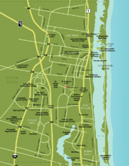
Port St. Lucie Map
Map of Port Saint Lucie.
1487 miles away

Port St. Lucie , Florida City Map
1488 miles away
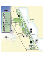
Savannas Preserve State Park Map
Map of park with detail of trails and recreation zones
1490 miles away
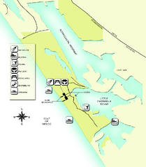
Don Pedro Island State Park Map
Map of park with detail of trails and recreation zones
1492 miles away

Birdwatching Areas in St. Lucie County Florida Map
Map shows Birdwatching Areas in St. Lucie County, Florida.
1494 miles away
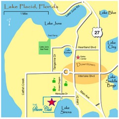
Lake Placide Town Map
1505 miles away
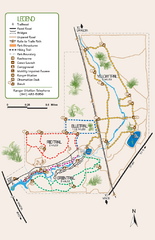
Oscar Scherer State Park Trail Map
Map of park with detail of hiking trails throughout
1517 miles away
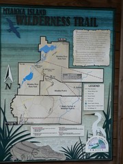
Myakka Island Trail Map
Trail map of Myakka Island. From photo.
1517 miles away
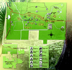
Highlands Hammock State Park Map
1519 miles away
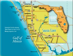
Sarasota Map
Sarasota county map and road system.
1528 miles away
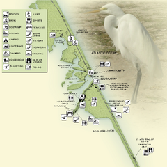
Sebastian Inlet State Park Map
Map of park with detail of trails and recreation zones
1528 miles away

