Florida Keys Map
Tourist map of the Florida Keys. Shows points of interest and dive sites.
1333 miles away
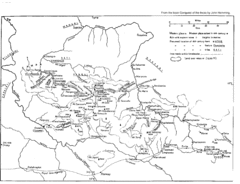
Vilcabamba Map
Shows the old Vilcabamba in Peru from the time of the Incas
1335 miles away
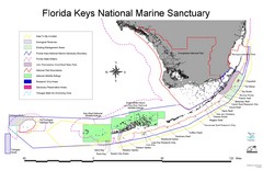
Florida Keys National Marine Sanctuary Map
Map of Florida Keys National Marine Sanctuary
1335 miles away

Florida Keys Map
Map of the Florida Keys includes all islands, dive sites, boat launches and important places.
1342 miles away
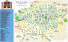
Ayacucho Tourist Map
Tourist map of town center
1347 miles away
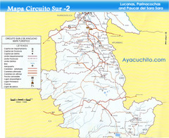
Southern Ayacucho Peru Tourist Map
Tourist Attractions, roads, cities and borders identified in Spanish.
1347 miles away
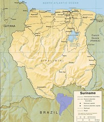
Surinam relief Map
1352 miles away
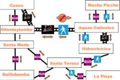
Cusco to Machu Picchu Transport Map
The Irish Guy's map of how to get from Cusco to Machu Picchu cheap.
1352 miles away
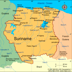
Suriname Map
Clear map marking cities and borders.
1356 miles away
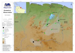
Suriname Overview Map
Country overview with settlement and main communication links.
1356 miles away

Amazon River Map
Old map of the Amazon River and major tributaries.
1359 miles away
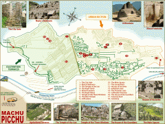
Machu Picchu tourist map
Map of Machu Picchu showing points of interest
1359 miles away
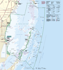
Biscayne National Park Official Map
Official NPS map of Biscayne National Park in Florida. Convoy Point, location of the parks...
1360 miles away
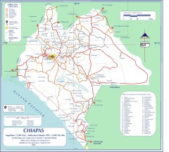
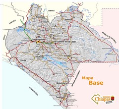
Chiapas Road Map
Road map of the Mexican state of Chiapas. Borders the Pacific Ocean and Guatemala. Shows roads and...
1360 miles away
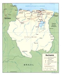
Suriname Map
1360 miles away
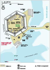
Garden Key Dry Tortugas National Park Map
Detail Map of Garden Key, Dry Tortugas National Park in Florida. The park is located almost 70...
1360 miles away
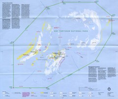
Dry Tortugas National Park Map
Park map of Dry Tortugas National Park, Florida
1360 miles away
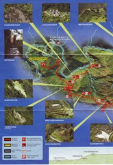
Inca Trail 1 of 2 Map
Scanned from the road system brochure given to hikers at KM82
1361 miles away
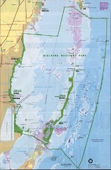
Biscayne National Park Map
1363 miles away
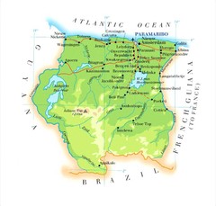
Surinam Map
1367 miles away
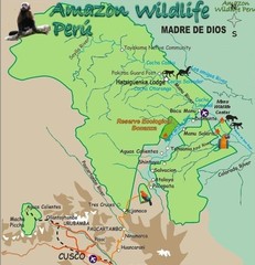
Amazon Region near Cuzco Map
1368 miles away
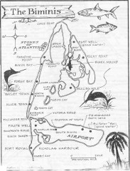
Map of the Bimini Islands in the Bahamas
Map of the Bimini Islands in the Bahamas.
1369 miles away
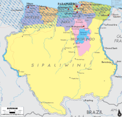
Surinam political Map
1374 miles away
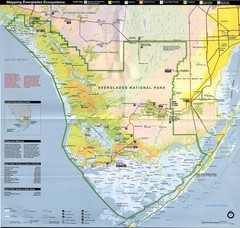
Everglades National Park Map
1375 miles away
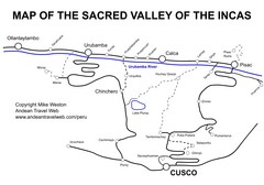
Sacred Valley Tourist Map
Map of Sacred Valley villages
1376 miles away
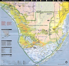
Everglades National Park Map
1376 miles away
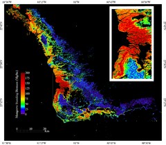
Mangrove Biomass Map
Map of Mangrove Forest Biomass was produced using the elevation data from the Shuttle Radar...
1376 miles away
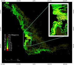
Mangrove Height Map
Map of Mangrove Forest Height was produced using the elevation data from the Shuttle Radar...
1376 miles away
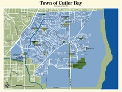
Cutler Bay Map
1376 miles away
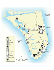
Bill Baggs State Recreation Area Map
Map of park with detail of various recreation zones
1377 miles away
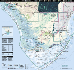
Everglades National Park Map
Official NPS map of Everglades National Park
1378 miles away
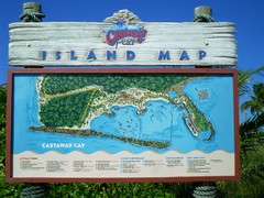
Castaway Cay Island Tourist Map
Tourist map of Disney's private Castaway Cay Island in the Bahamas. From photo of sign.
1378 miles away
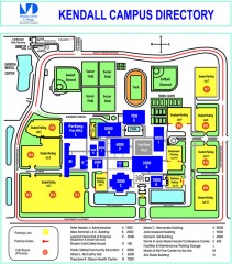
Miami Dade College - Kendall campus Map
Map of the Miami Dade College - Kendall campus, one of 8 campuses of Miami Dade College. From...
1380 miles away
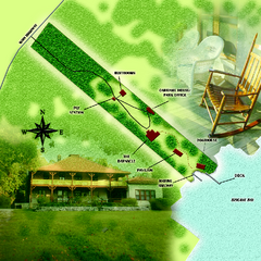
The Barnacle Historic State Park Map
Map of park
1382 miles away
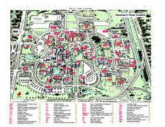
Florida International University Map
Florida International University Campus Map. All buildings shown.
1384 miles away
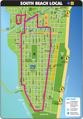
South Beach Tourist Map
Tourist map of South Beach in Miami, Florida. Rated the #5 beach in America by TripAdvisor.com...
1384 miles away
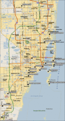
Miami, Florida City Map
1384 miles away
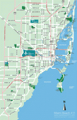
Greater Miami tourist map
Tourist map of Greater Miami, showing airports and beaches.
1384 miles away

