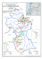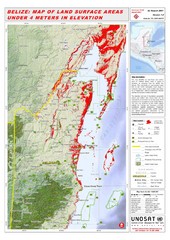
Belize Land Surface Areas Under 4 Meters Map
This map shows elevation areas in Belize under 4 meters in Red. This was the limit for the storm...
1156 miles away

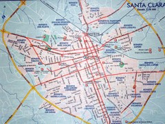
Santa Clara Map
1156 miles away
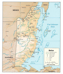
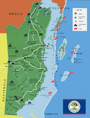
Belize Guide Map
1156 miles away
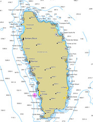
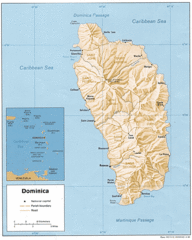
Dominica scuba sites Map
1158 miles away
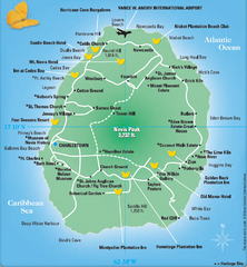
Nevis Tourist Map
Tourist map of Nevis Island, near St. Kitts. Shows inns, villages, and other points of interest.
1158 miles away

St. Kitts and Nevis dive sites Map
1158 miles away

St. Kitts and Nevis Map
1158 miles away
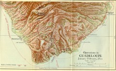
Guadeloupe British Military Operations 1810 Map
Map shows Guadeloupe British Military Operations by land and sea in 1810
1159 miles away
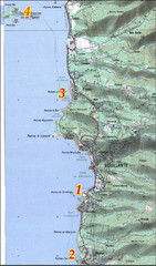
Bouillante West Coast Topo Map
Topo map of the west coast of island of Basse-Terre in the Guadeloupe Archipelago.
1159 miles away

Plymoth and enviorns Map
1159 miles away

Montserrat lava flows Map
1160 miles away
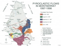
Pyroclastic flows in Montserrat 1997-1998 Map
Shows pyroclastic flows and destroyed settlements in 1997-1998.
1161 miles away
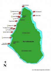
Montserrat Diving map
Diving map of Montserrat in the Caribbean. Shows all diving spots.
1161 miles away
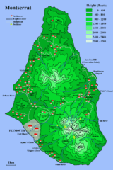
Montserrat Map
1161 miles away

Galapagos Islands Map
1161 miles away
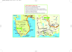
Basse-Terre Overview Map
Shows location of Hotel Le Jardin Malanga in southern Basse-Terre, Guadeloupe.
1162 miles away

San Pedro Tourist Map
Tourist map of town of San Pedro on island of Ambergris Caye, Belize
1162 miles away
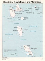
Dominica, Guadeloupe and Martinique Map
Overview map of Dominica, Guadeloupe, and Martinique islands.
1164 miles away
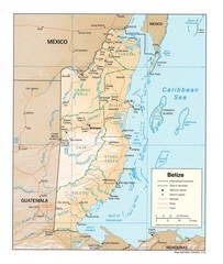
Belize Map
Map of Belize showing cities, rivers and district boundaries.
1165 miles away
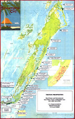
Ambergris Caye Tourist Map
Tourist map of island of Ambergris Caye, Belize. Inset shows town of San Pedro.
1166 miles away

Isabela Island Map
1167 miles away

Isla de la Juventud Map
1167 miles away
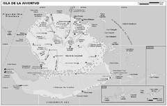
Isla de La Juventud Map
1167 miles away
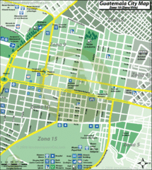
Guatemala City Tourist Map
1170 miles away
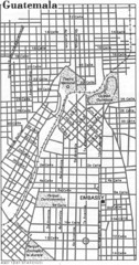
Guatemala City, Guatemala Tourist Map
1170 miles away
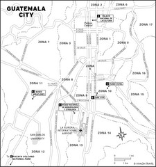
Guatemala City Tourist Map
Places of interest.
1170 miles away
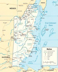
Belize Map
Detailed map of Belize showing cities, roads, railroads and boundaries.
1170 miles away
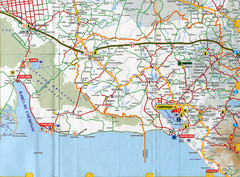
"Torriente - Cienfuegos" Road Map
1170 miles away

"Sagua La Grande - Santa Clara" Road Map
1172 miles away
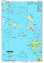
Leeward Islands Nautical Map
Nautical chart of the Leeward Islands in the Caribbean
1173 miles away

Leeward Islands Map
Guide to the Leeward Islands of the Caribbean, such as Saint Barthelemey, Saint Martin, Anguilla...
1173 miles away
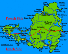
St. Maarten Beach Tourist Map
1173 miles away
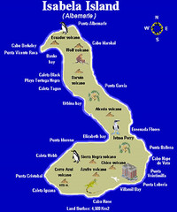
Isla Isabela Tourist Map
Tourist map of Isla Isabela in the Galapagos, Ecuador. Shows coastal features and wildlife.
1173 miles away
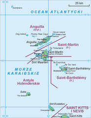
Saint Martin Map
1174 miles away
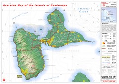
Guadeloupe Overview Map
Overview physical map of Basse-Terre and Grande-Terre Islands in the French Guadeloupe archipelago...
1174 miles away
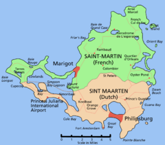
Saint Martin Map
Overview map shows entire island of Saint Martin (French) or Sint Maarten (Dutch).
1176 miles away

